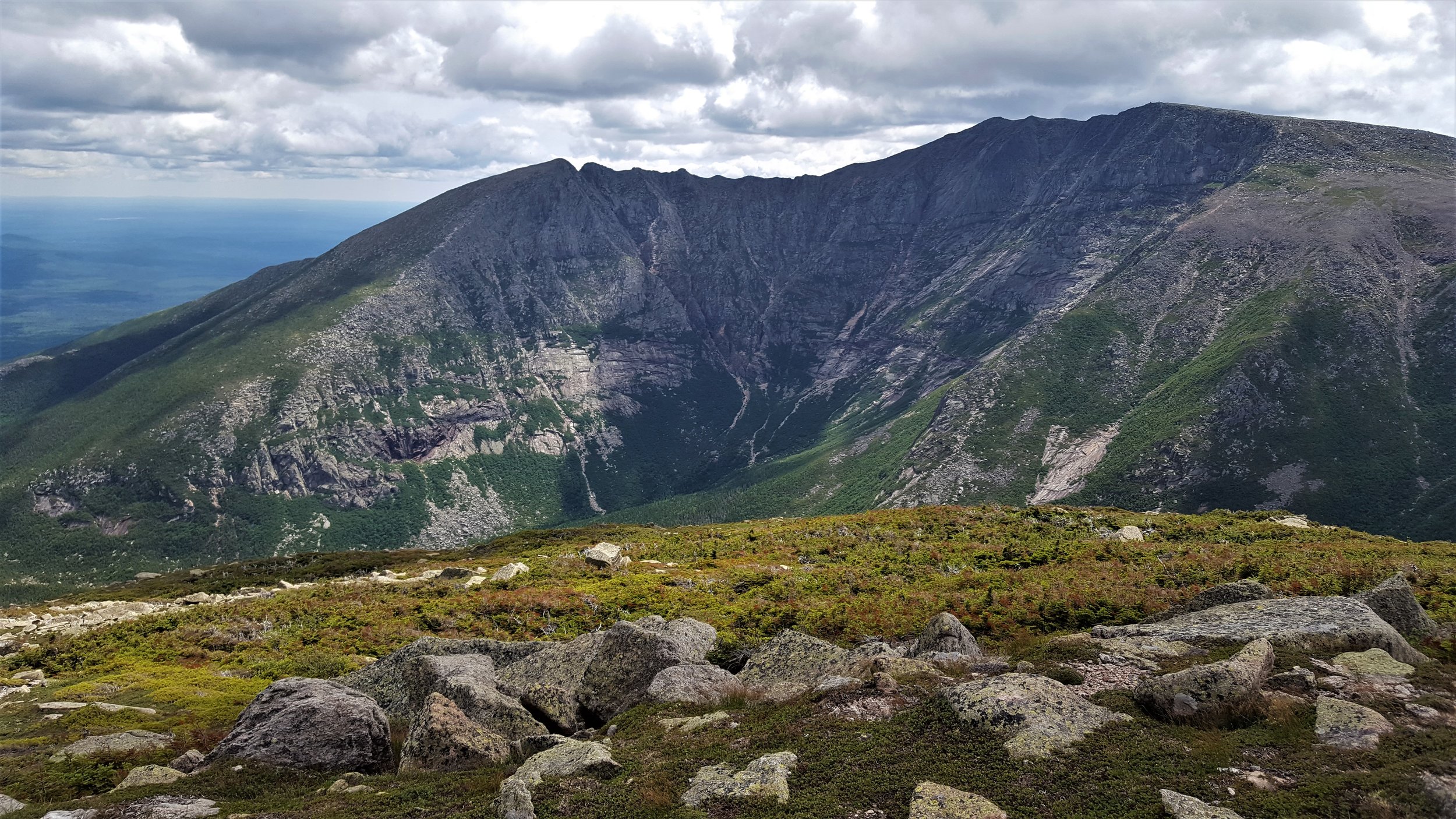
Borestone Mountain is less than 2000 feet high, but you’d never guess it from either the hike or the views.

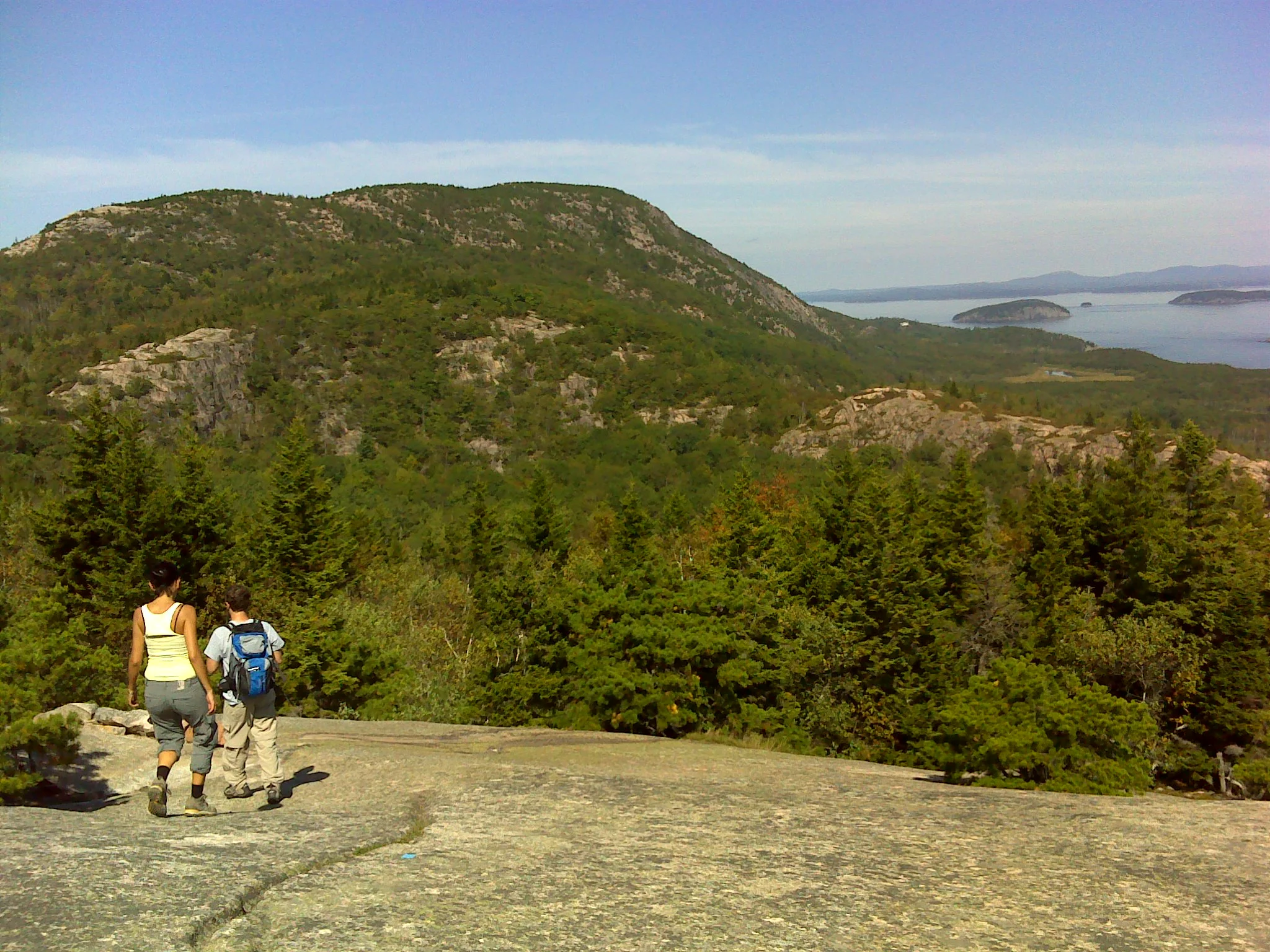
Emma comtemplating the view from East Peak
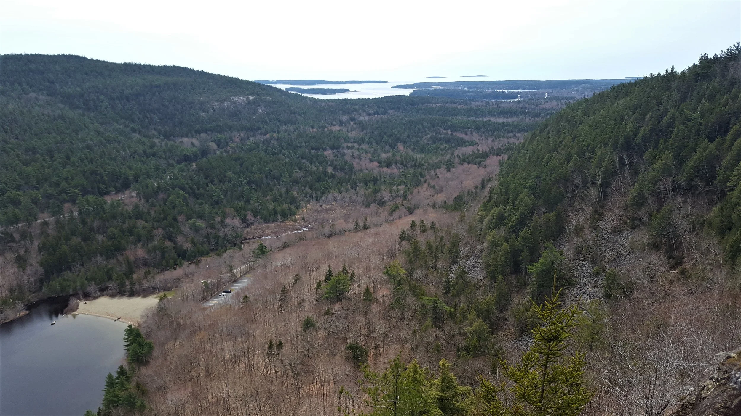
To hike the mountain, follow the signs from Monson to the parking area (about 9 miles. For complete directions, check out either Best Easy Day Hikes Greenville or Hiking Maine). The mountain is a Maine Audubon Preserve. Follow Base Trail up the mountain a mile to the visitor’s center on Sunrise Pond. From there, follow Summit Trail a mile to the top.
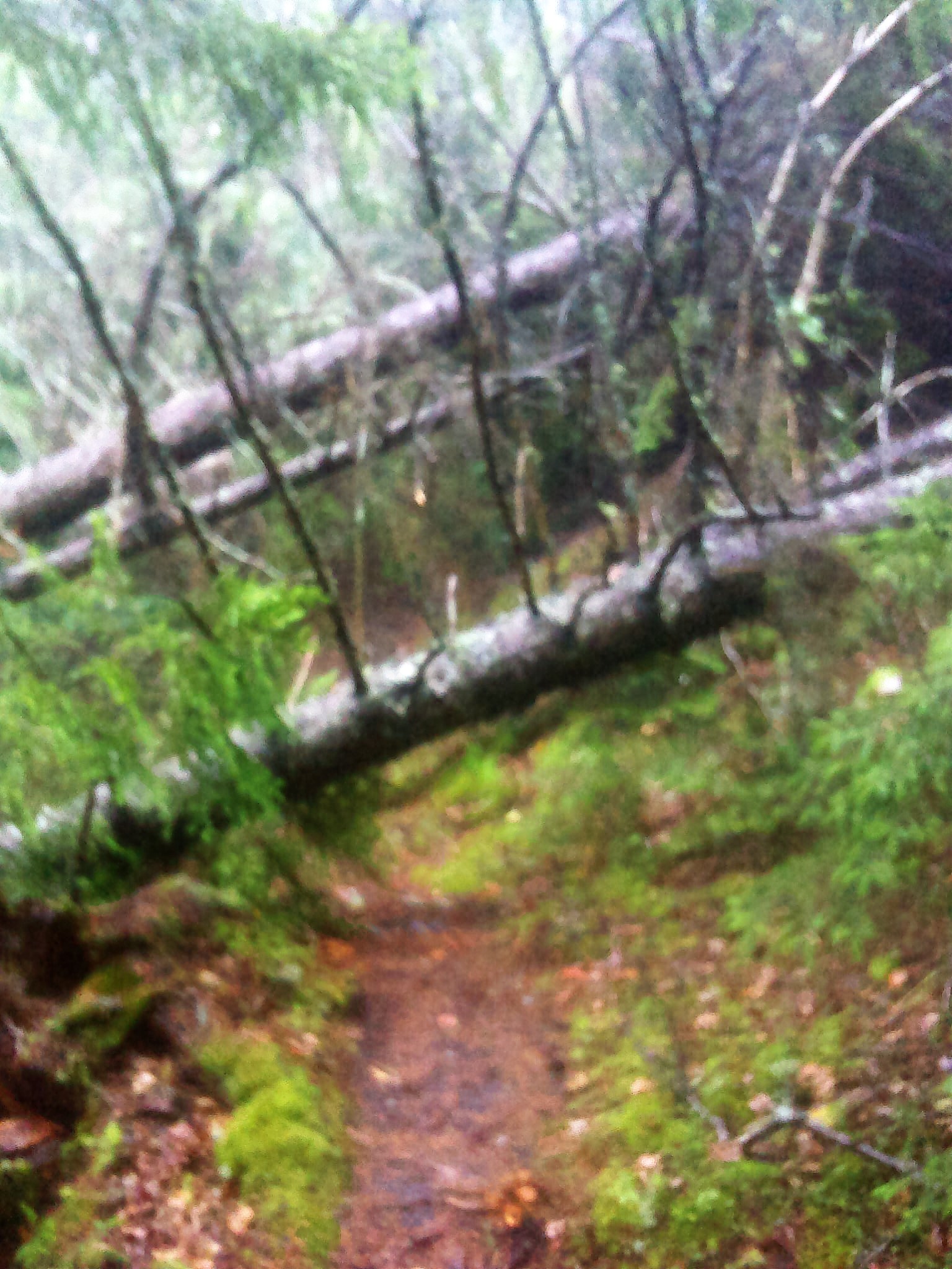
Summit Trail climbs steadily through the woods with lots of steps and some short climbs.

Steps on lower Summit Trail
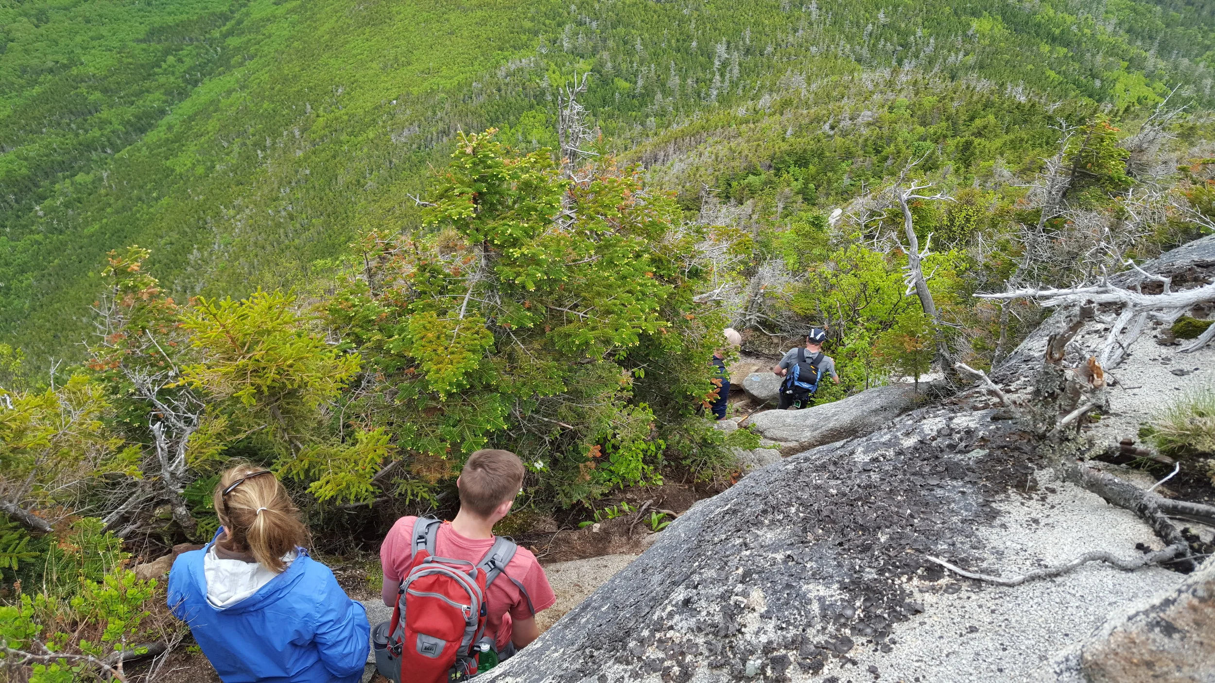
Eventually, you reach the dome of the mountain’s east peak. This climb is what earns Borestone a place on the WW25 list. The first section is a steep climb to the base of a cliff. There are rungs to help you navigate the toughest section.

Emma at the rungs
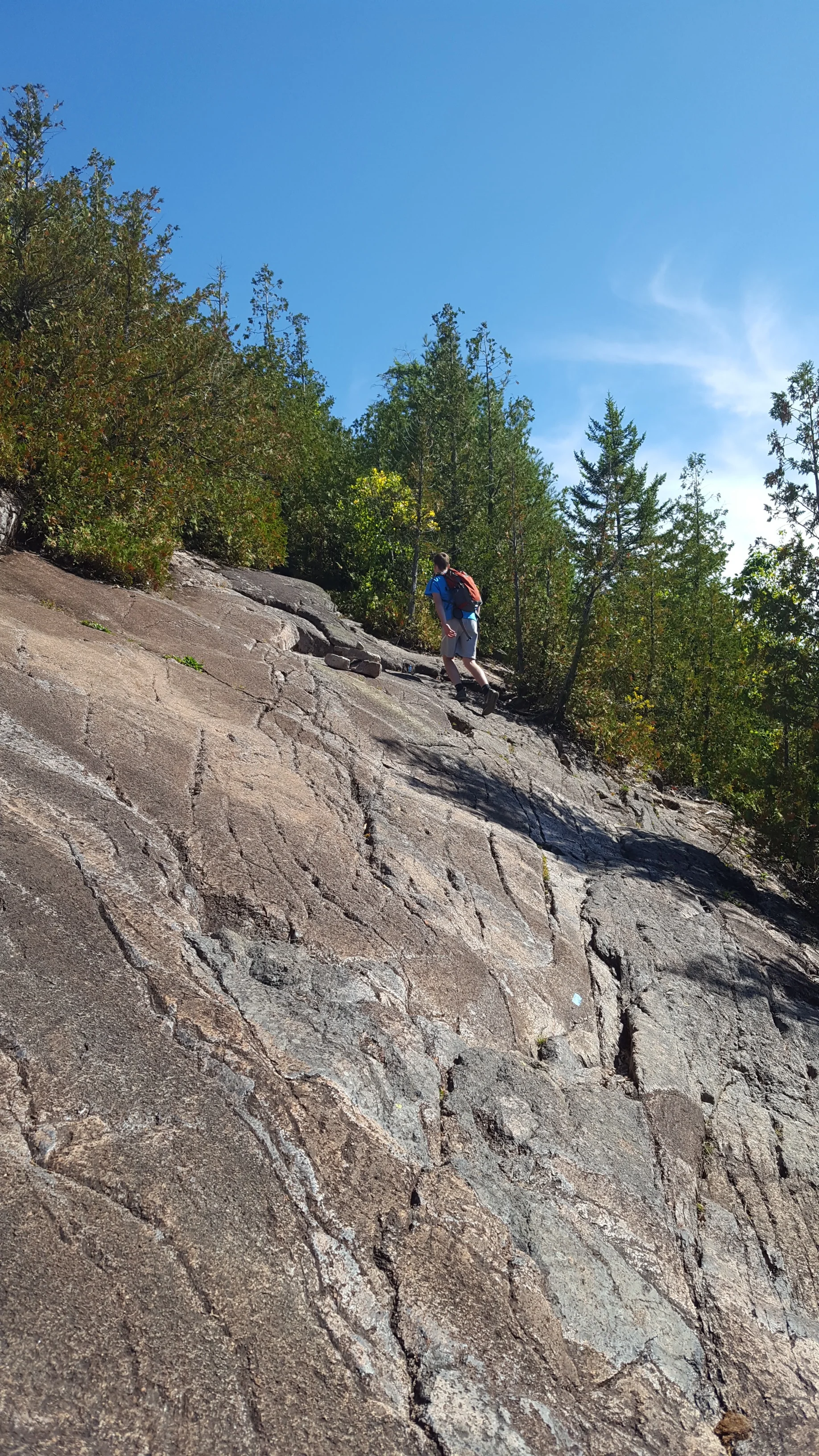
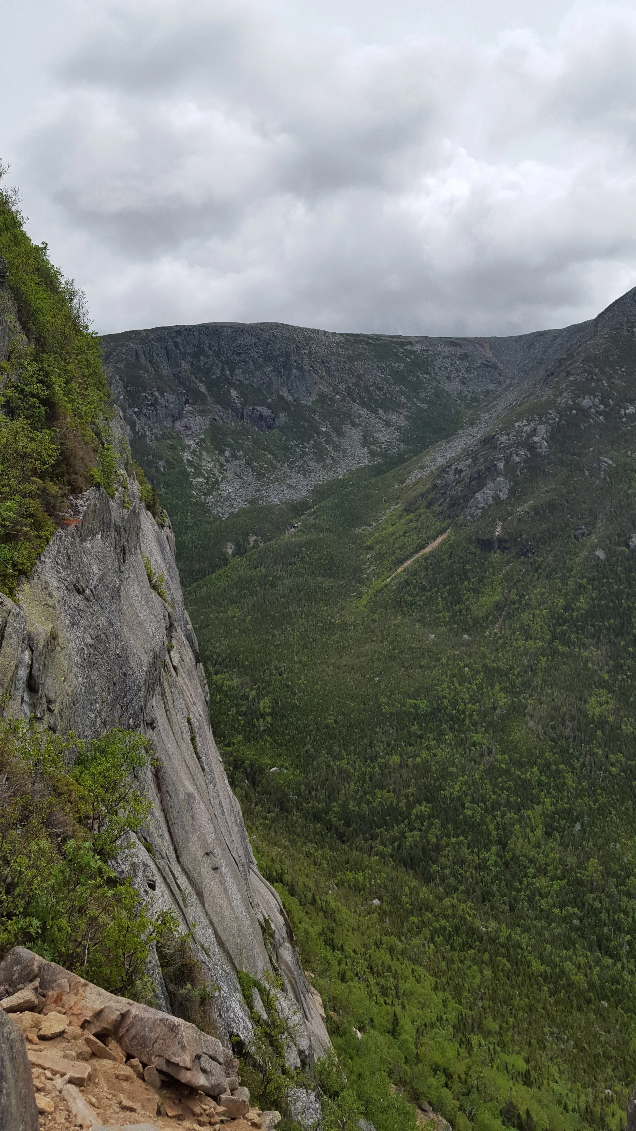
Above the rungs, the trail climbs up a bouldery section that is also steep and has two sections of hand rungs.
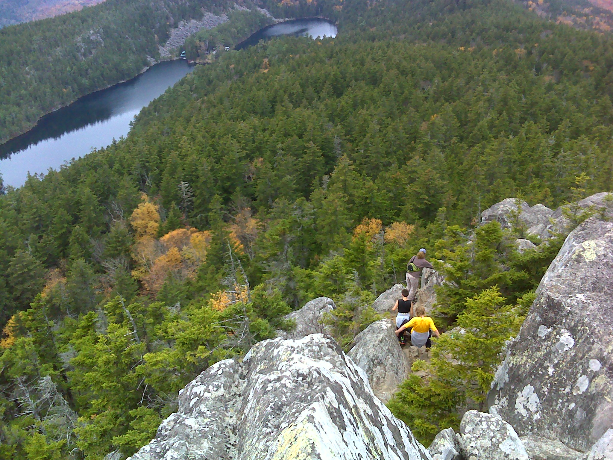
Looking down the upper steep section from near West Peak
While there is some exposure in the climb, it’s not too tough. I’ve done it in the winter without spike several times and Henry did it under his own steam when he was three years old.
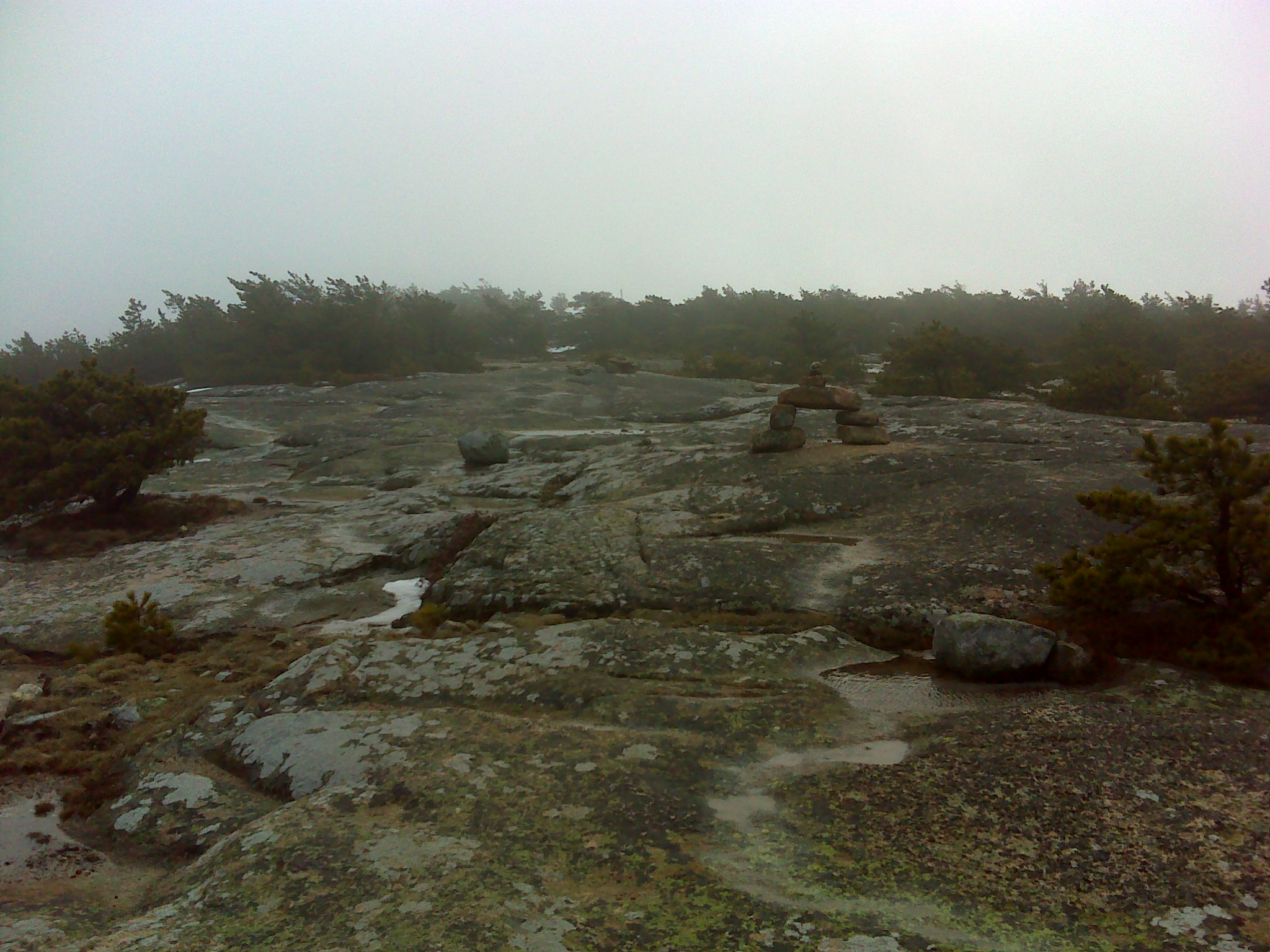
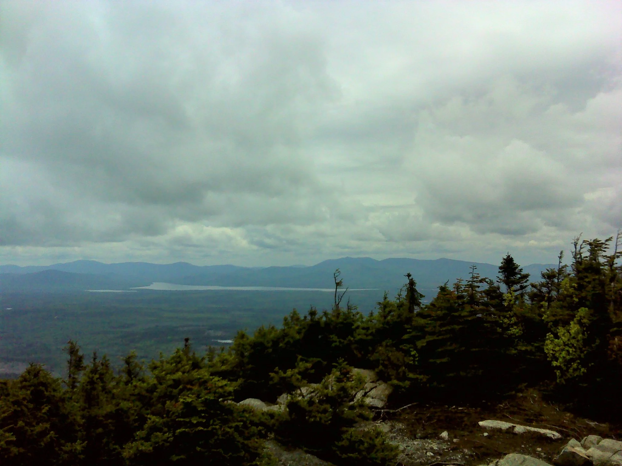
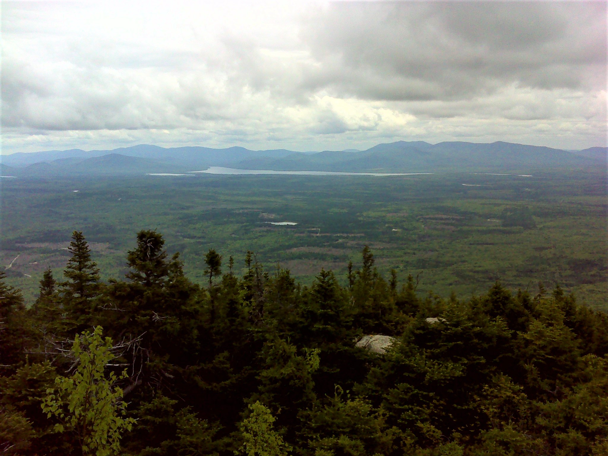
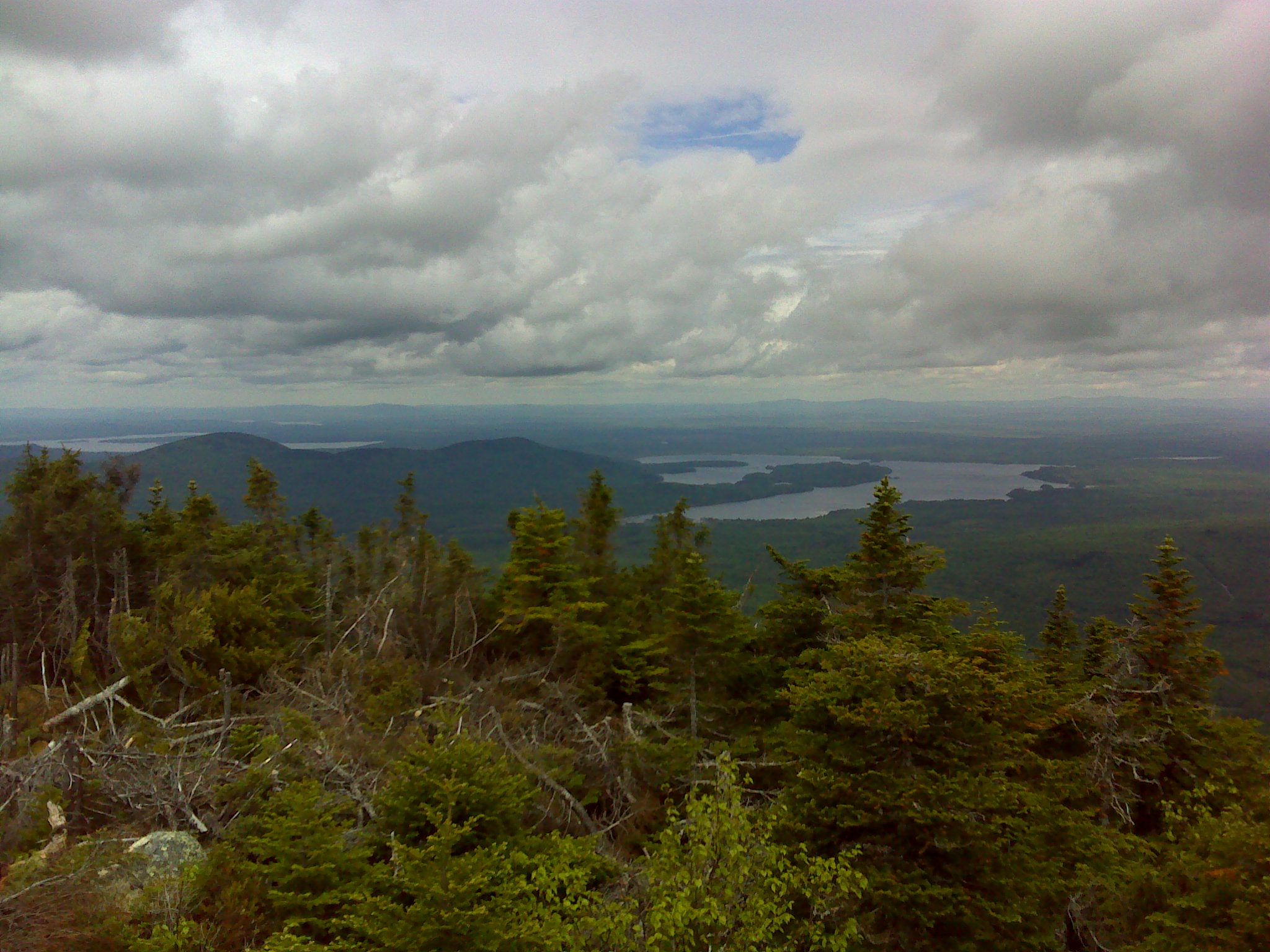
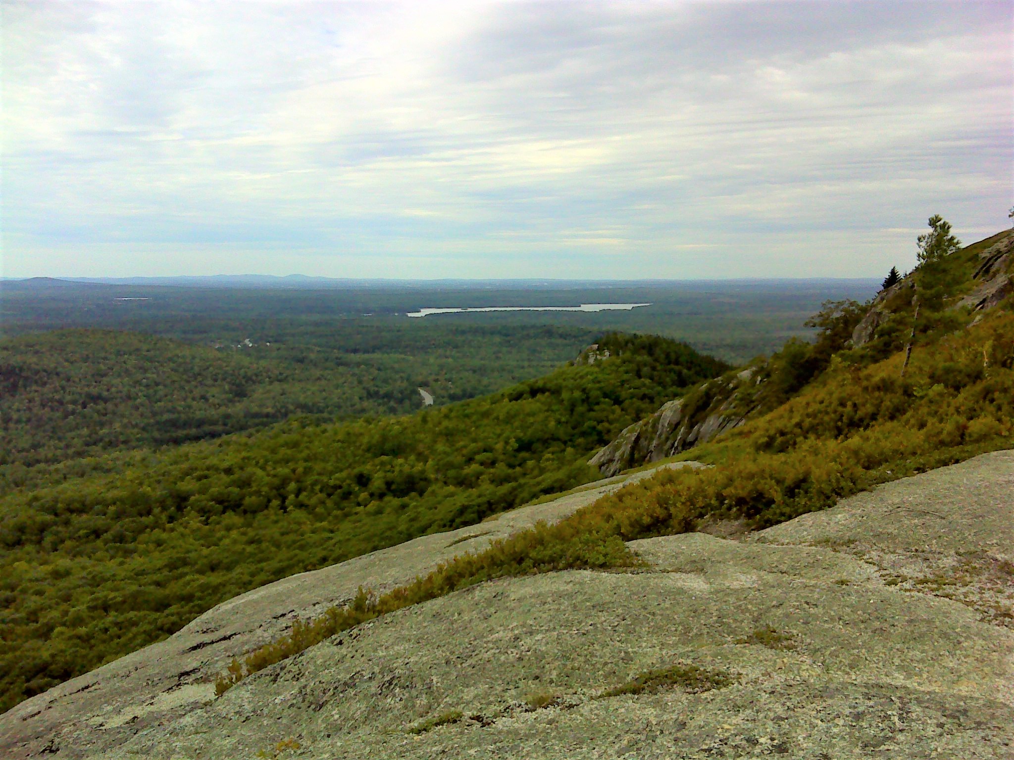
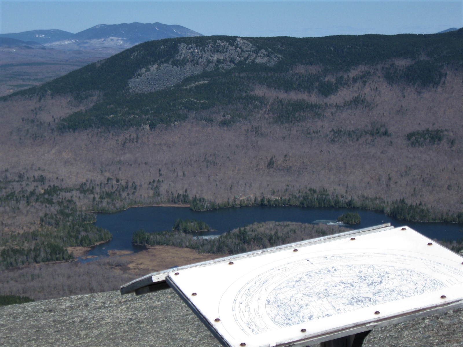
East Peak is a large dome of smoother bedrock. On the summit a sign shows you all the mountains you can see in every direction.
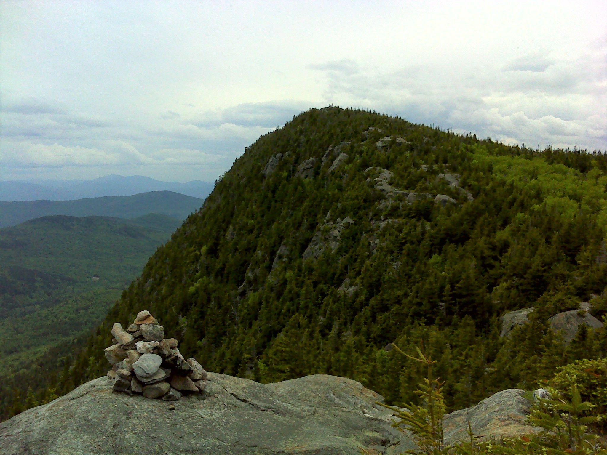
West Peak is a long prow of bedrock jutting into the sky with great views. The slightly higher East Peak is another 0.3 miles. One section of the saddle between the two peaks is WW25 worthy.
Onawa Lake, Barren Slides, and the Lily Bay Mountains from East Peak