The Abol Trail was always the fastest, most direct route up Katahdin—less than four miles from trailhead to Baxter Peak. It had the added cache of being approximately the route followed by Thoreau in 1846 when he climbed to the Table Land.
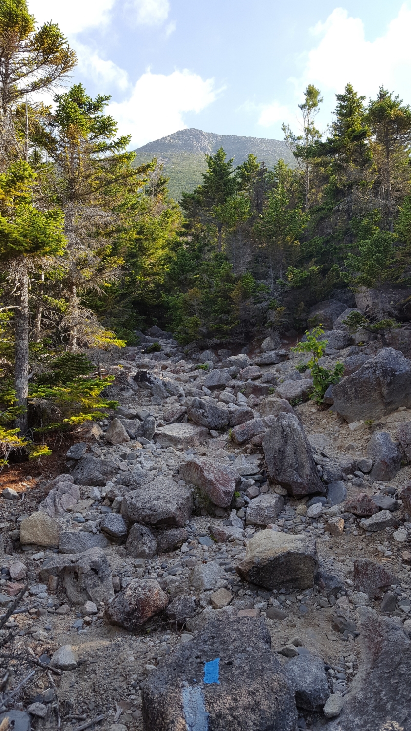
The trail followed Abol Stream to a slide. The trail ascended the slide, and then the boulder field above it. The slide was unstable and repeatedly shifted. A couple of years ago, the trail was closed—deemed too unsafe for hiking.
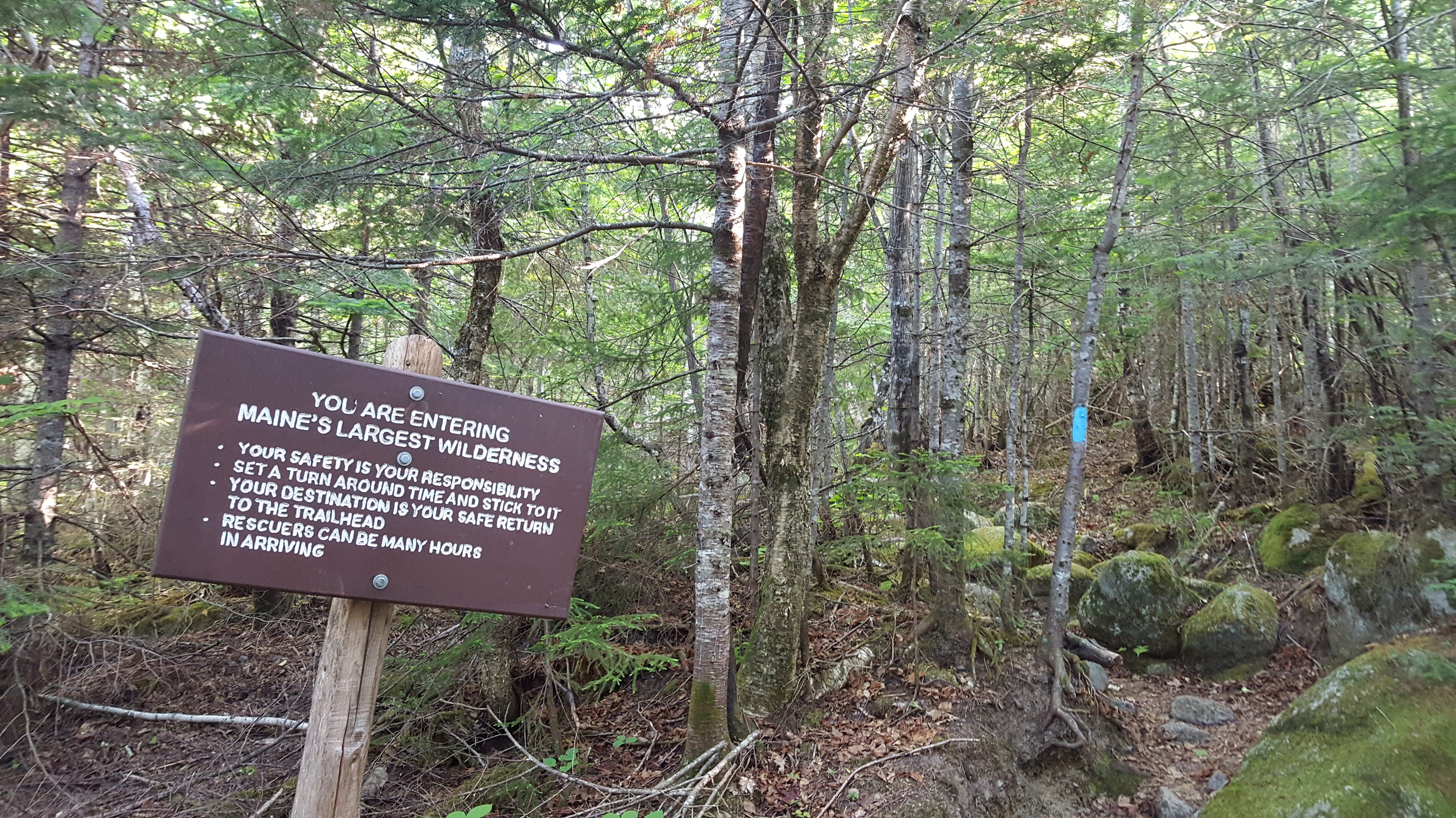
Last week the new Abol Trail opened. The first mile and a half are the same. From that point a new trail was cut, switchbacking up to and across the ridge between the slide and Hunt Spur (that the Appalachian Trail follows up Katahdin).
The new trail winds through dense stands of skinny spruce over a footbed of broken granite and soft duff. Much easier walking than the loose rock of the slide.


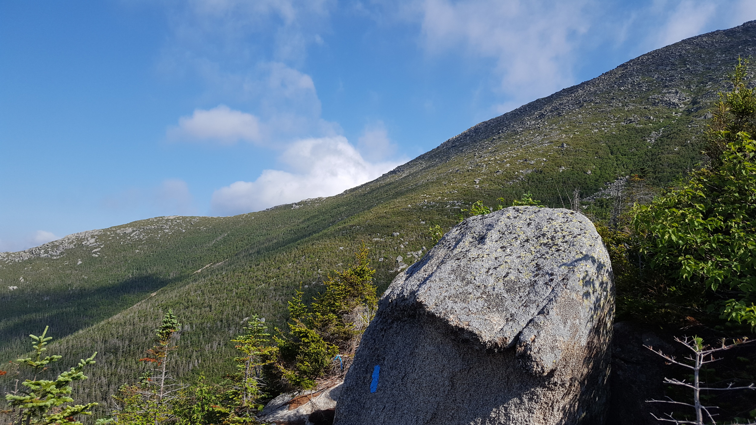
Above the slide, the new trail rejoins the old trail. The boulder field is the steepest section. Two tenths of a mile that climbs six hundred feet. I did the math: that's nearly a 45 degree grade. As I climbed, fingers of clouds swirled around above, reaching down to tickle me.

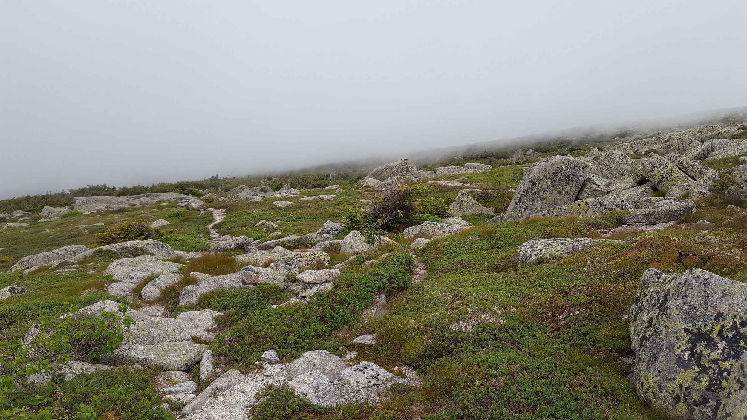
Visibility on the Table Land was about twenty feet.

Just before I reached Baxter Peak, a hole opened in the cloud and the summit appeared. That window closed again before I reached the top. I took a few pictures of the cairn, the sign marking the northern end of the AT.

Rather than head straight down, I hiked north on the Saddle Trail, dropping elevation quickly. All around me spectacular scenery hid behind clotted cloud. I turned left onto the Baxter Peak Cut-off Trail. Alone, I walked across the Table Land. Had it been clear, I would have had great views of the Northwest Plateau, The Owl, the whole of Katahdin. Instead, my eyes were drawn down to the carpet of green and the lounging boulders. Small flowers nodded as I passed. Pipits trilled. Here and there, stands of stunted spruce and birch grew in twisted knots. The trail passed the head of Witherle Ravine, even through the fog I could feel its yawning drop.
And then I was back at Thoreau Spring—just a muddy hole this year. An hour later, I was well down the mountain. Back out of the cloud. Under humid, blue sky. All the day hikes for Best Hikes in Baxter State Park are done.
