Washington county isn't known for its mountains. East of the mountains around Tunk Lake and Donnell Pond, the land flattens. There are nice views from Pigeon Hill (Hike 17 in Hiking Maine) and Schoodlic Head (see my blog post on Buck Cove Mountain), but those are both in eastern Hancock county.
Looking east from Pigeon Hill
There are four small "mountains" in Washington county with views of the coast worth hiking.
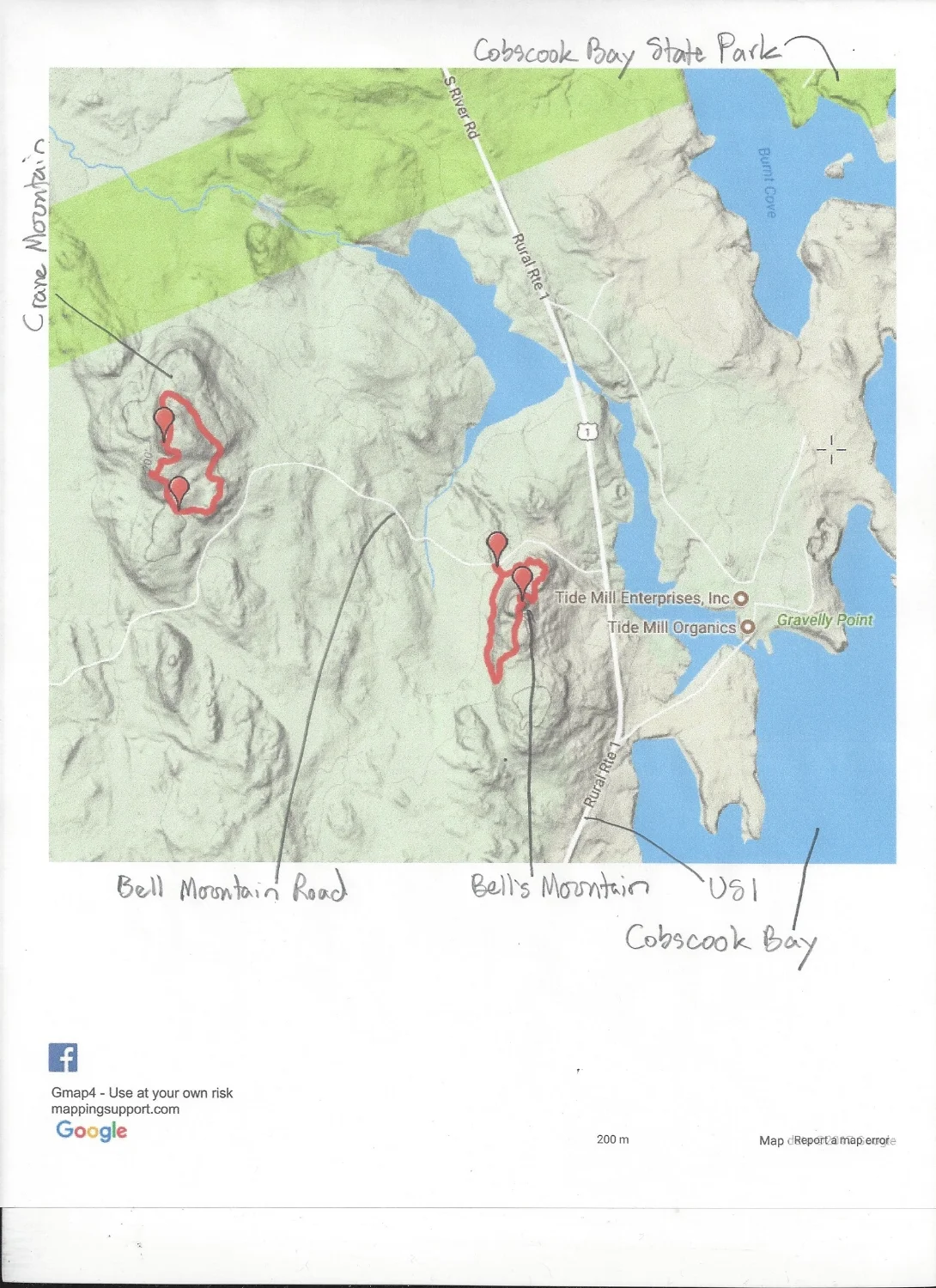
First are Bell's and Crane Mountains along the west shore of Cobscook Bay, near the state park.
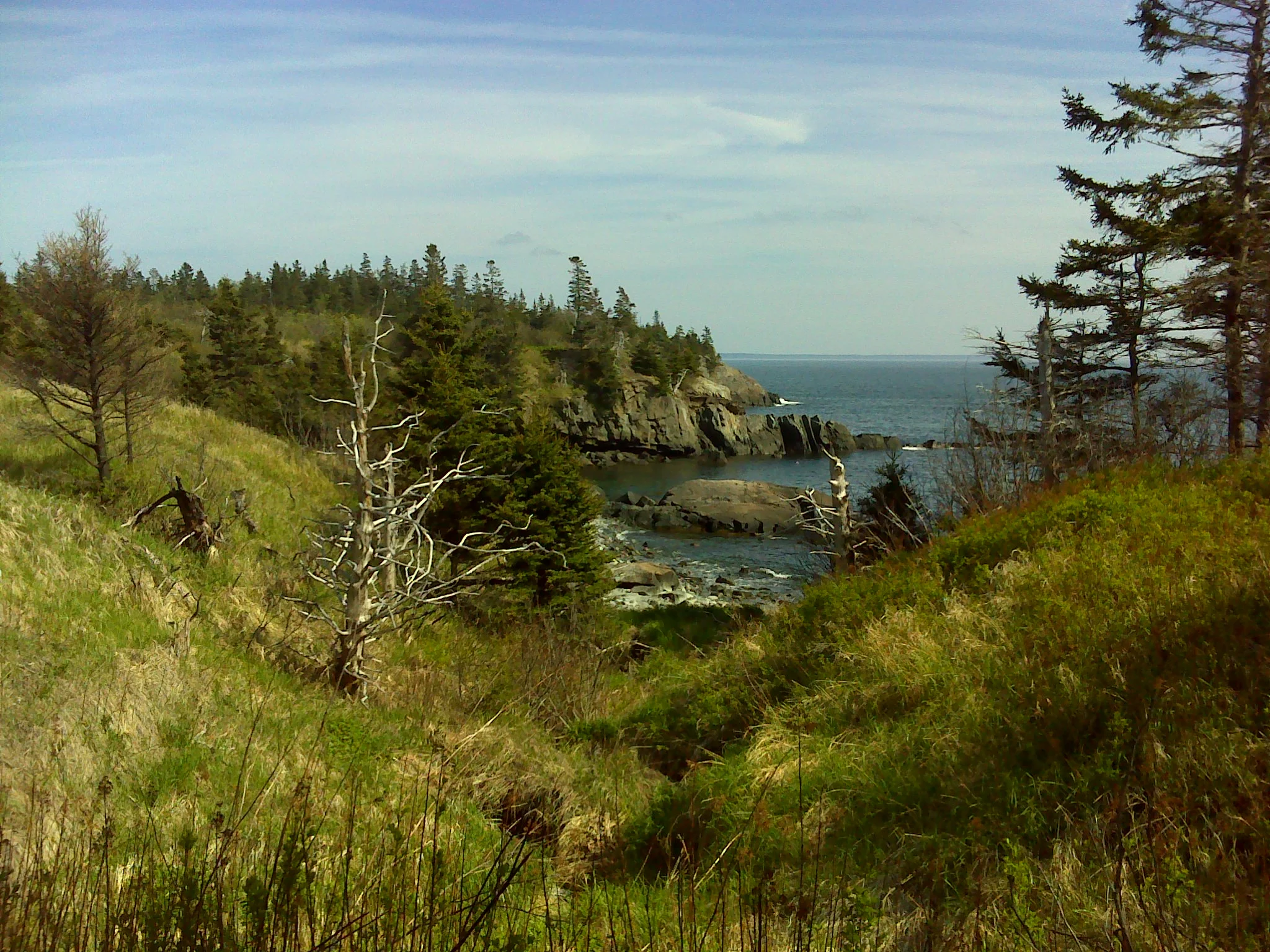
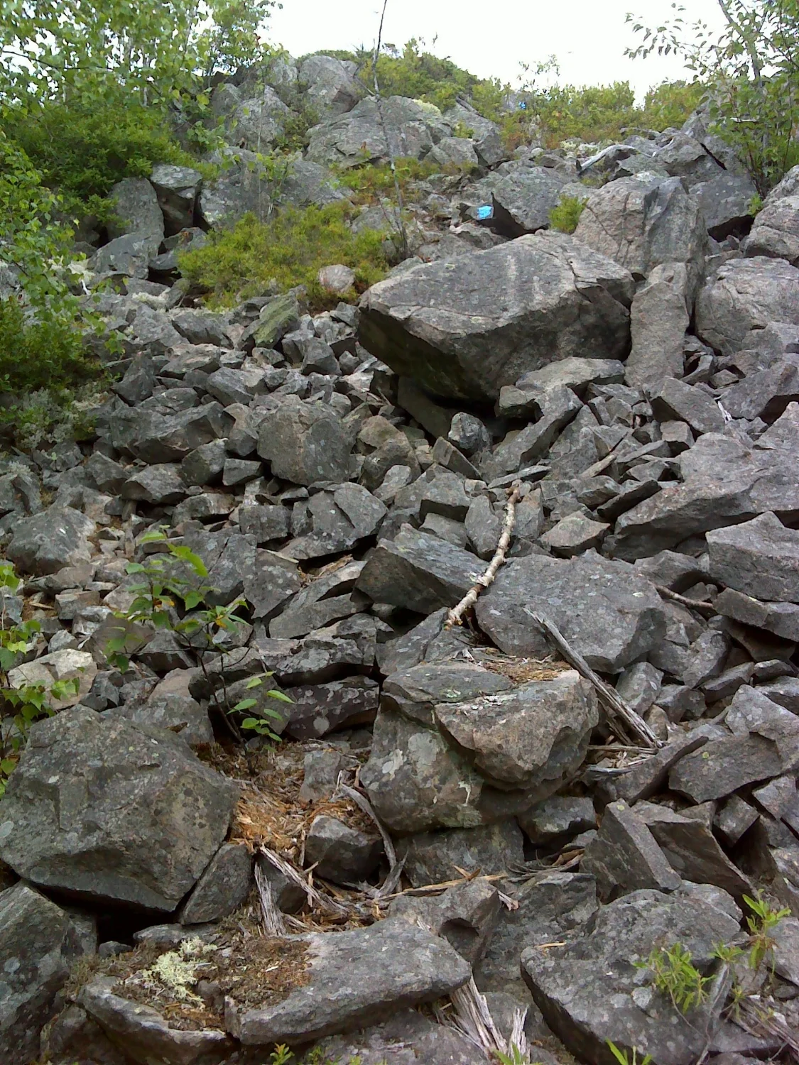
The rocky shoulder of Bell's Mountain
To get the trailheads, drive north on US1 from the junction with ME189 in Whiting. Drive 2.8 miles. Turn left onto Bell's Mountain Road. The trailhead is on the left in a wide, flat area 0.2 miles from US1. Follow the loop trail clockwise. The trail climbs gently to a semi-open area on the shoulder of the mountain with partial views of Cobscook Bay, especially Tide Mill Farm. The trail continues over the mountain and loop back around to the trailhead. Be warned: beyond the summit, the trail is indistinct and hard to follow. Less adventurous hikers might want to do and out and back.
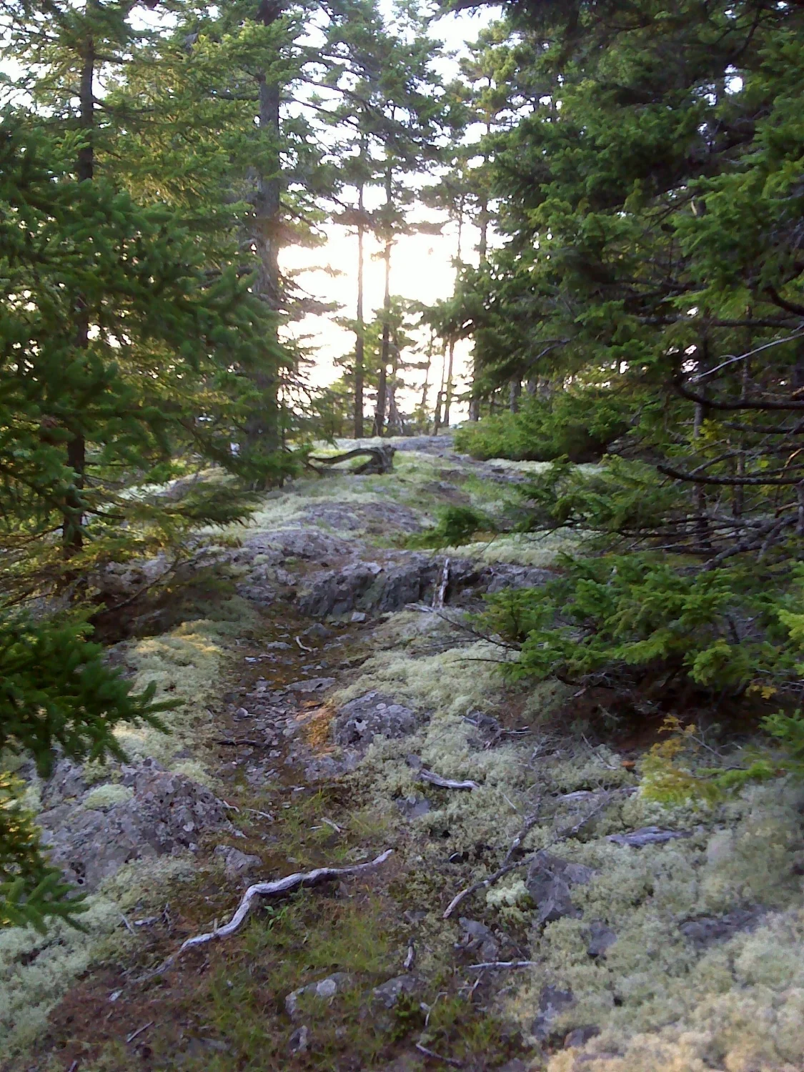
Bell's Mountain's wooded summit
The whole loop is 0.7 miles. An out and back to the summit is about the same distance.
To get to Crane Mountain from Bell's Mountain. Continue northwest on Bell's Mountain Road. Drive 0.6 miles to a fork. Bear right, climbing the unmarked road. In 0.1 miles reach the end of the road. There is a large, weathered sign at the trailhead.
Approaching the overlook on Crane Mountain
The Crane Mountain trail is a 0.7 miles loop. Like Bell's Mountain trail, it is little used and hard to follow in places beyond the overlook. From the trailhead to the overlook is 0.2 miles. From the overlook, you have a fine view of the rolling hills and bogs inland from Cobscook Bay.
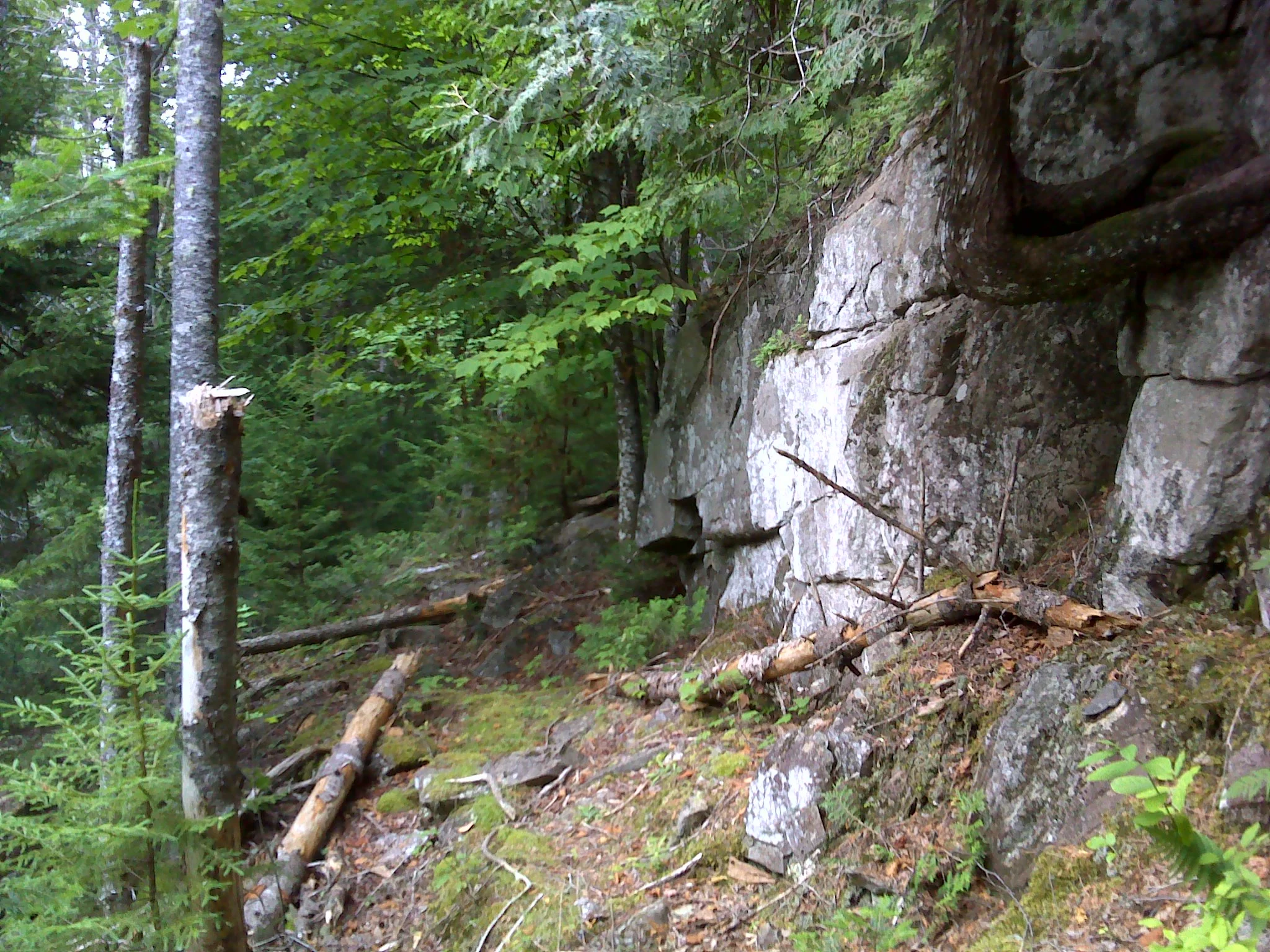
Crane Mountain looks and feels very different from Bell's Mountain. The forest is less overgrown-instead of lush moss, everything is covered with scratchy lichen.
In Hamilton Cove Preserve, along the coast west of Quoddy Head, is Benny's Mountain (Porcupine Hill on some maps). This 2.4 miles out and back hike offers fine views of the marshy Hamilton Brook and the coastline. To get to the trailhead, follow ME189 east from Whiting. Drive 5.8 miles. Turn right onto Dixie Road at the sign for the Bold Coast. Drive 2.7 miles. Turn left onto Boot Cove Road. Drive 3.5 miles. The Hamilton Cove Preserve parking is on the right.
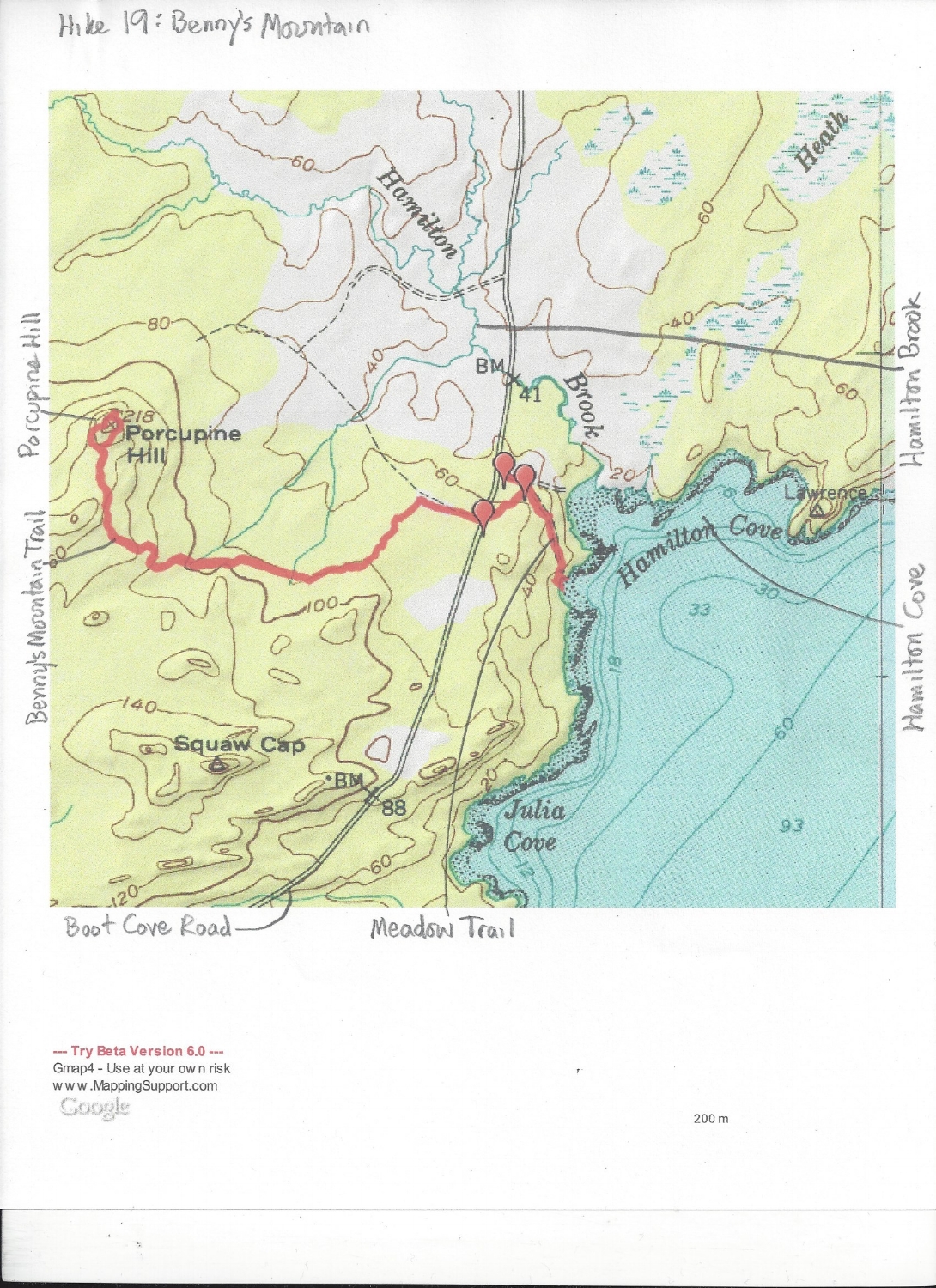
From the trailhead, walk 250 feet to a fourway intersection. If you turn left, you can follow the 1.4 mile Hamilton Cove Trail. If you go straight, in 250 feet you arrive at a cobbled beach. For this hike turn right. In another 250 feet, turn right again. (If you bear left here, you can follow the Meadow Trail 0.2 miles to a different cobbled beach. This trail crosses a large meadow and is worth exploring.)
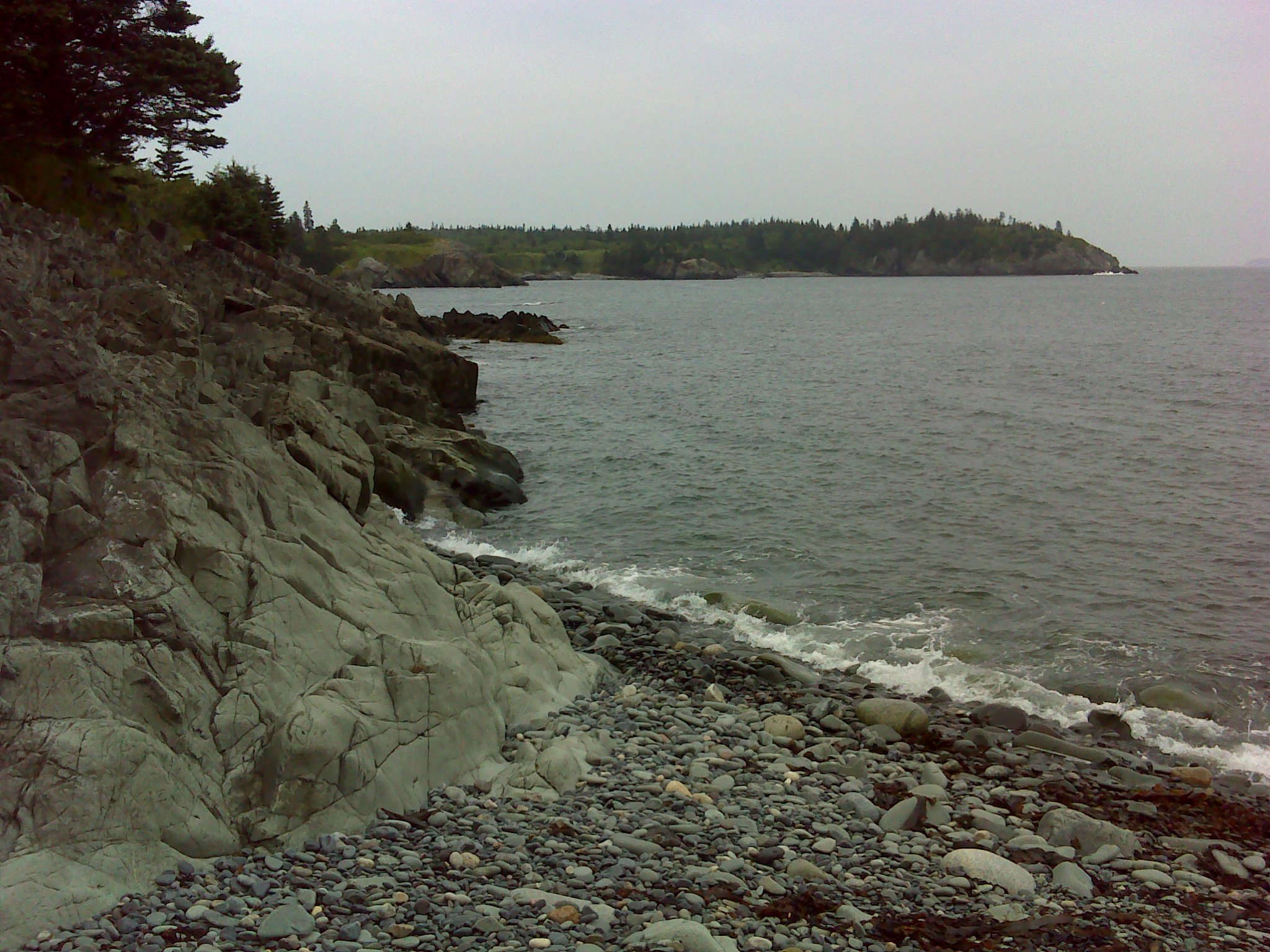
The beach at the end of the Meadow Trail, looking east across Hamilton Cove
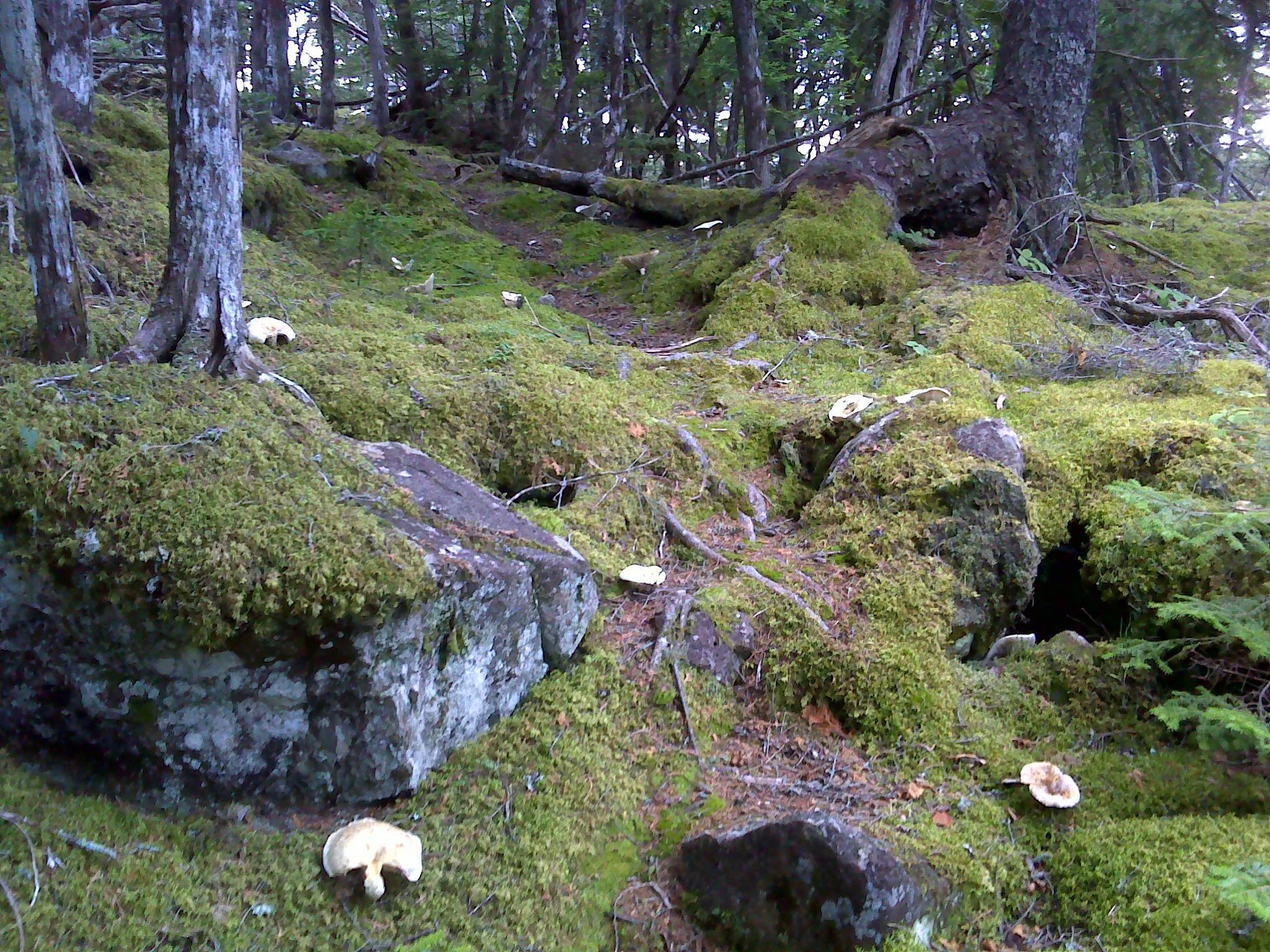
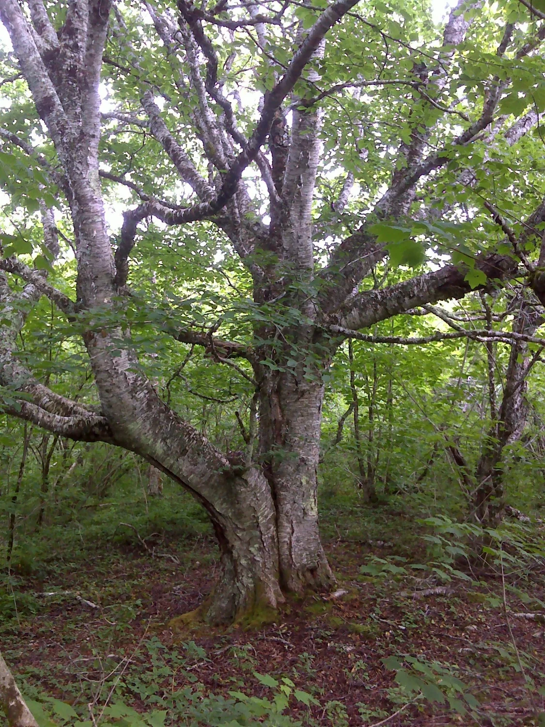
0.1 miles past the second intersection, you'll cross Boot Cove Road. Across the road, the trail goes through an overgrown meadow before entering the woods. In the woods are numerous large trees, including one of the biggest birches I've ever seen.
The trail begins to climb gently. On the rocky shoulder of Porcupine Hill, the trail forks. Turn right. In a short distance, there's an overlook. Unlike Bell's and Crane Mountains, Porcupine Hill is covered with hardwoods.
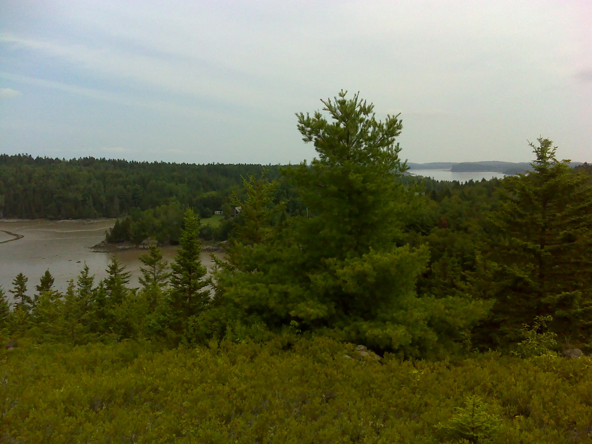
Hamilton Cove from the overlook
The trail continues in a loop around the hilltop before arriving back at the fork. On your return to the coast, take time to explore the Meadow Trail and the Hamilton Cove Trail.
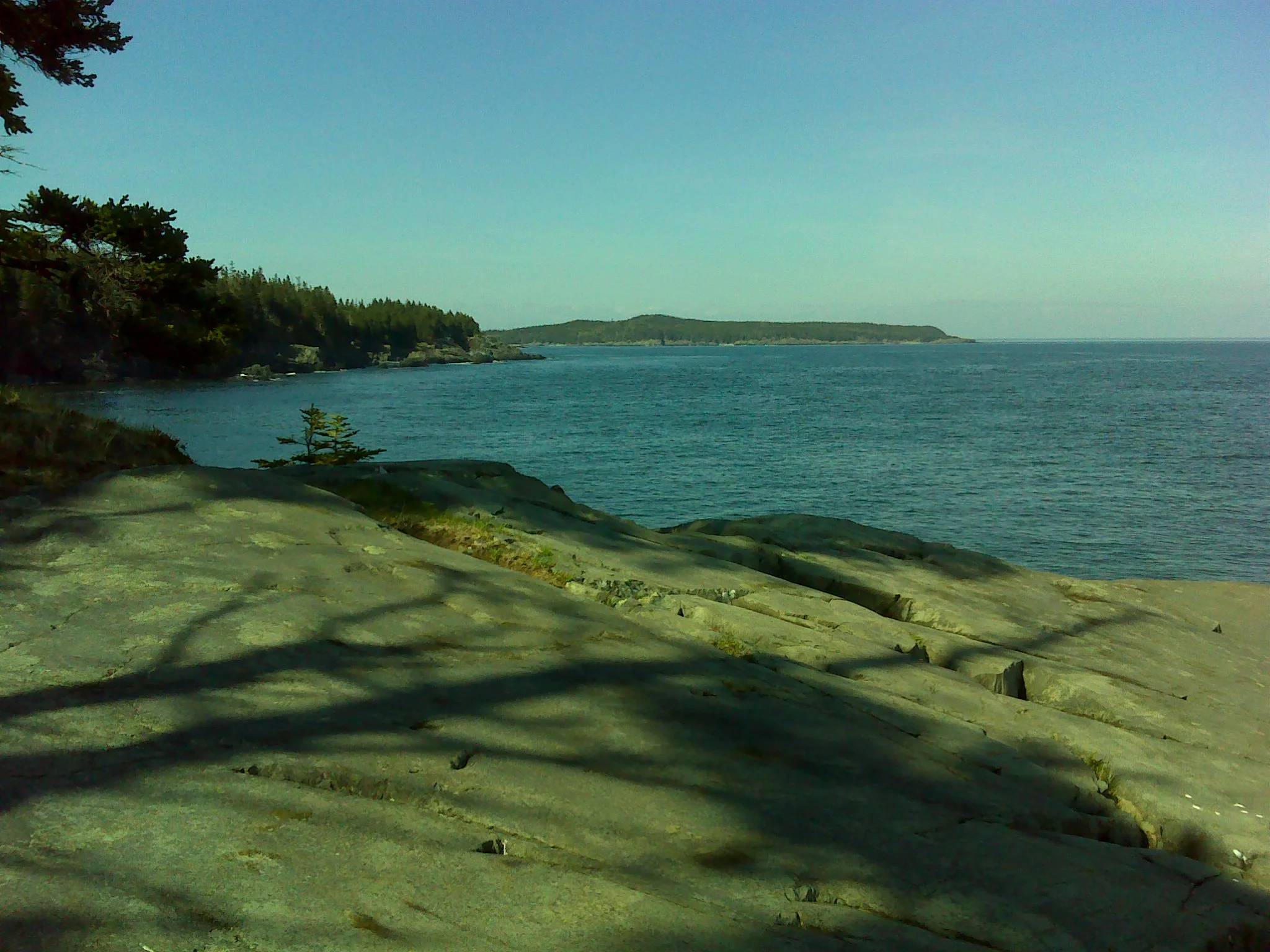
The view of Quoddy Head from the end of the Hamilton Cove Trail
The fourth "mountain" hike along the Downeast coast is Klondike Mountain. To get to the trailhead, drive east on ME189 from US1 in Whiting. Drive 9.0 miles. Turn left onto North Lubec Road. Drive 1.0 miles. The Klondike Mountain Preserve parking is on the hilltop on the left.
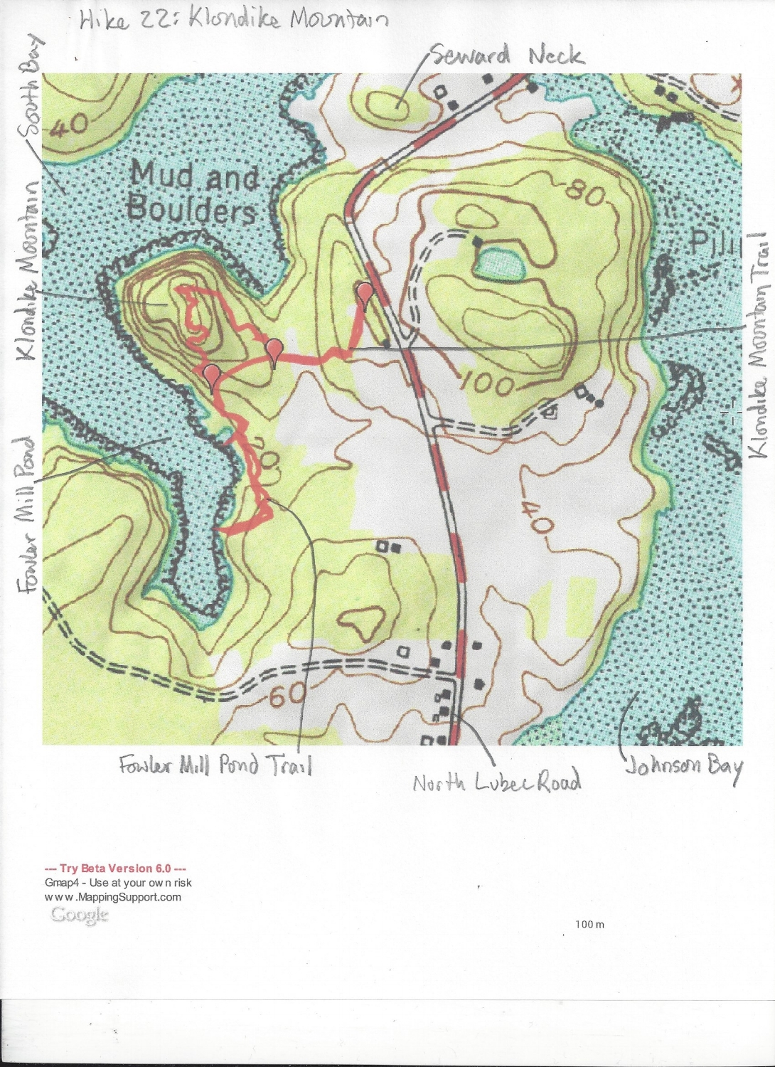
The trail descends through a meadow and orchard to a junction. Turn right. The climb up Klondike Mountain is short and rocky.
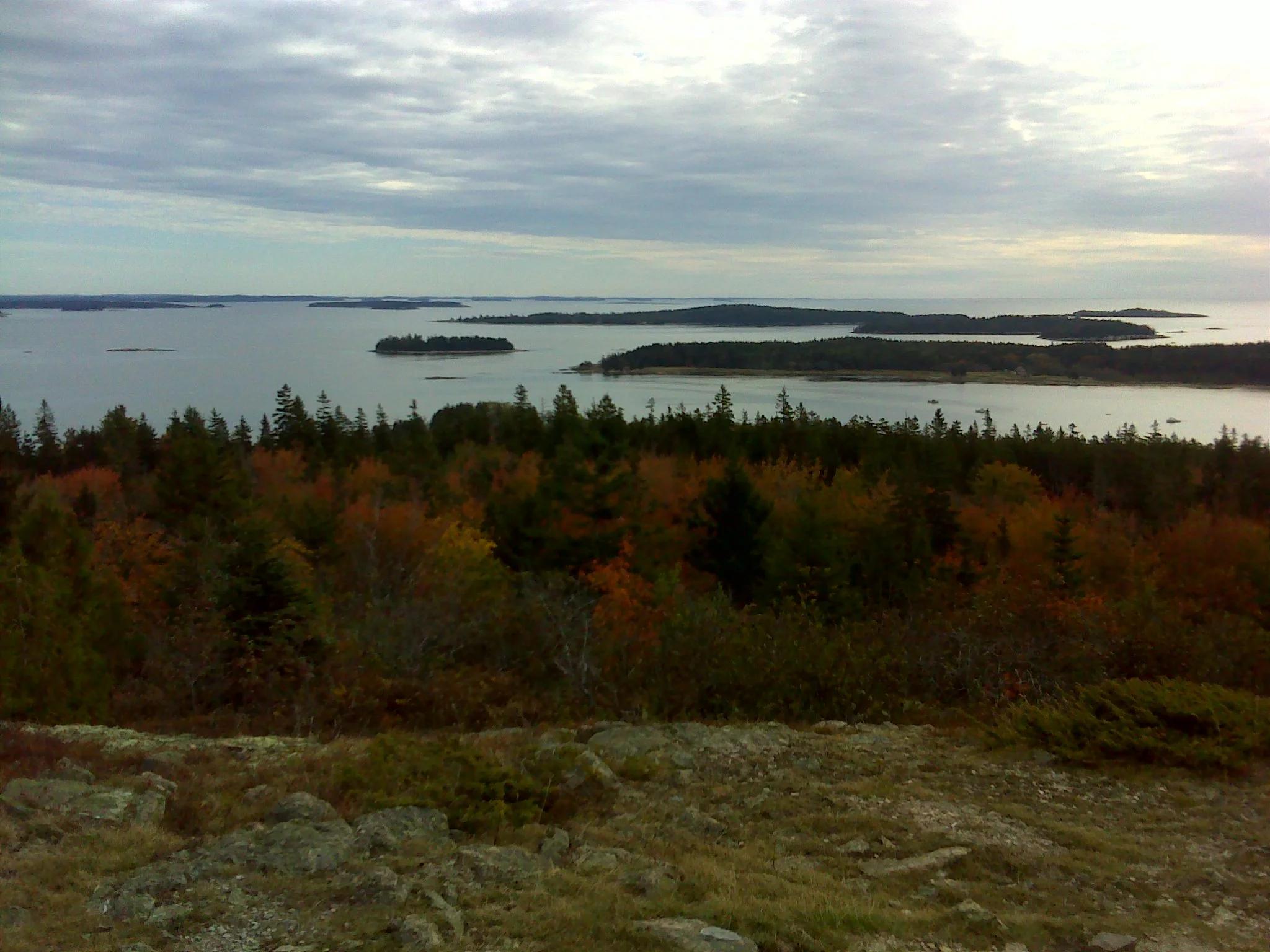
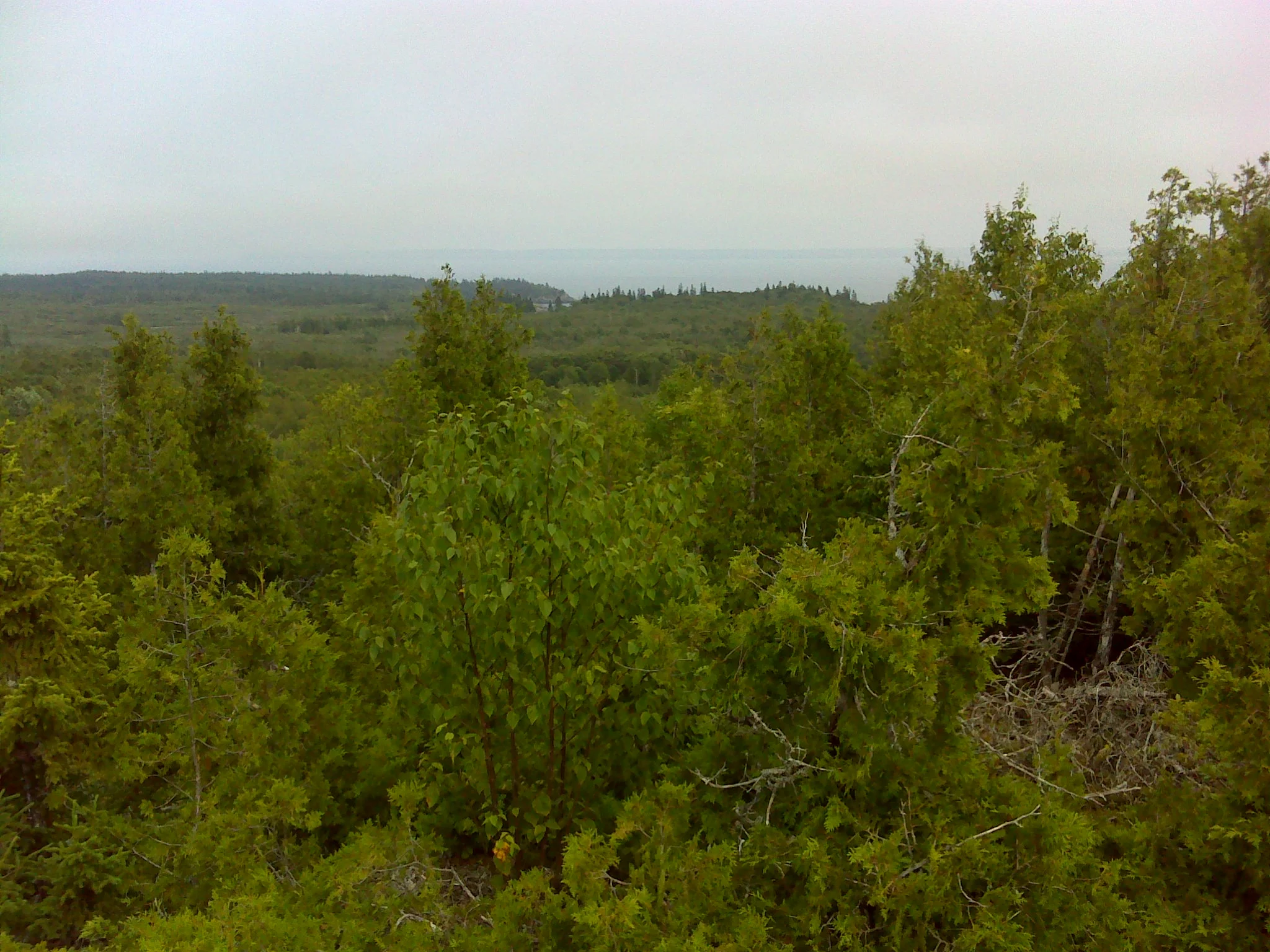
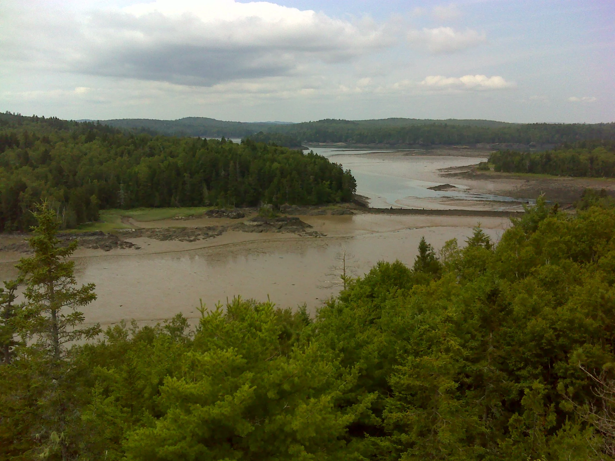
The 360 degree view from the top takes in several arms of Cobscook Bay.
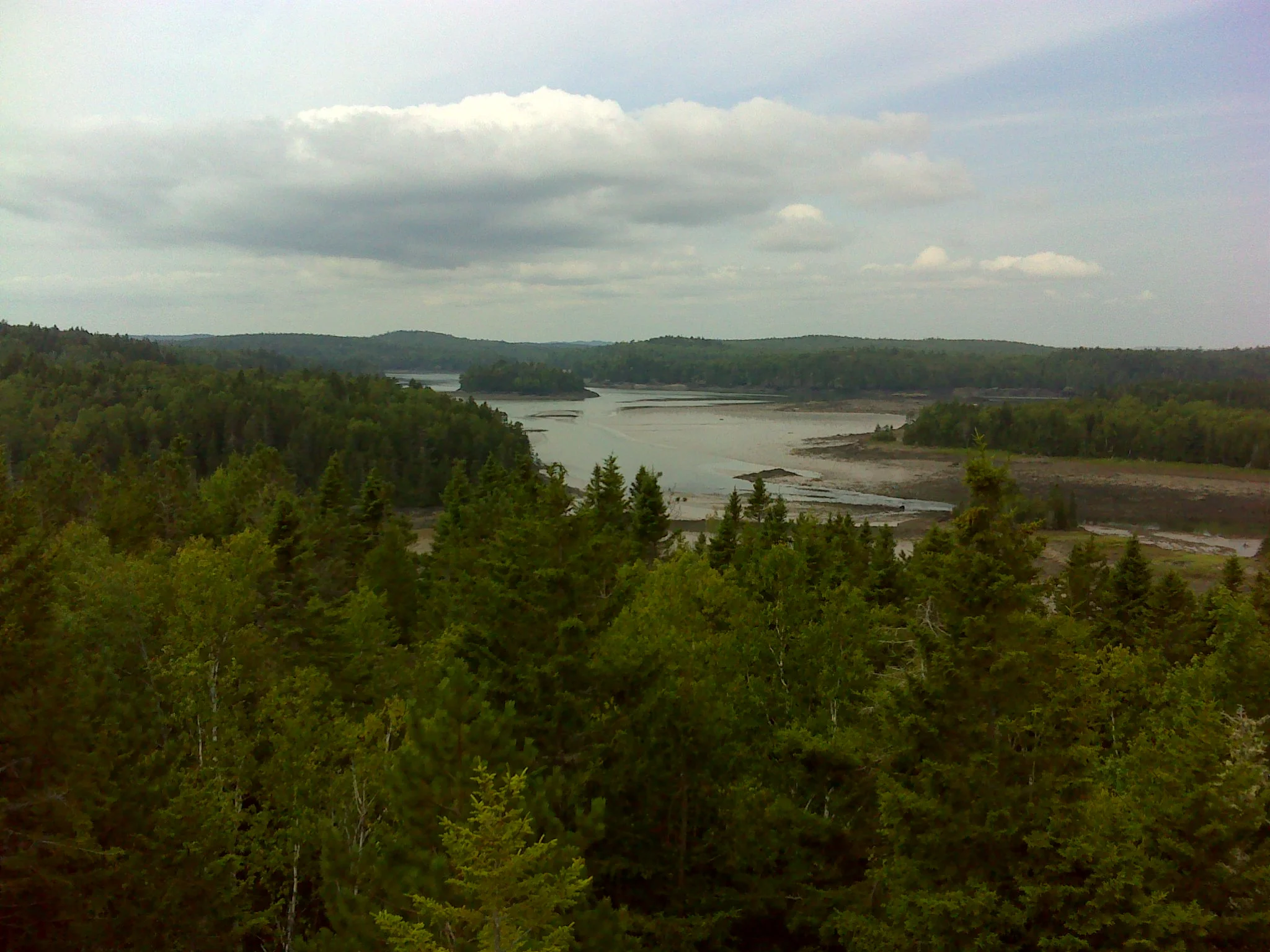
Looking west to South Bay at low tide
Looking north beyond South Bay to the main body of Cobscook Bay
From the summit, the trail zig zags south, descending toward Fowler Mill Pond--an arm of South Bay. At low tide the old mill dam is visible reaching across the mud flat. 0.2 miles beyond the summit, pass a trail on the left and continue along the shore of Fowler Mill Pond. There is access to the shore in two places.
The mill dam seen from the shoulder of Klondike Mountain
From the end of the trail, it's 0.5 miles back to the trailhead. On the return hike, turn right at both intersections. The whole hike is 1.2 miles.
The Downeast coast between Machias and Lubec offers lots of great hiking. In addition to these four "mountains" are numerous hikes to the Bold Coast and its coves and cliffs. Maybe someday my publisher will contract me to write a guide to the forty best. It'll involve some tough choices. In the meantime, everyone should head east and explore.