Katahdin Woods & Waters by Greg Westrich

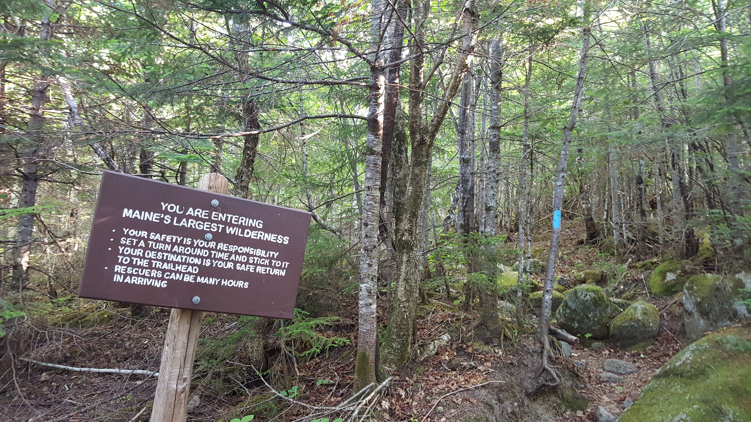
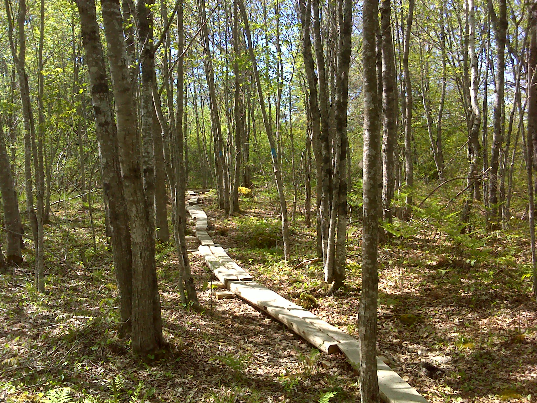
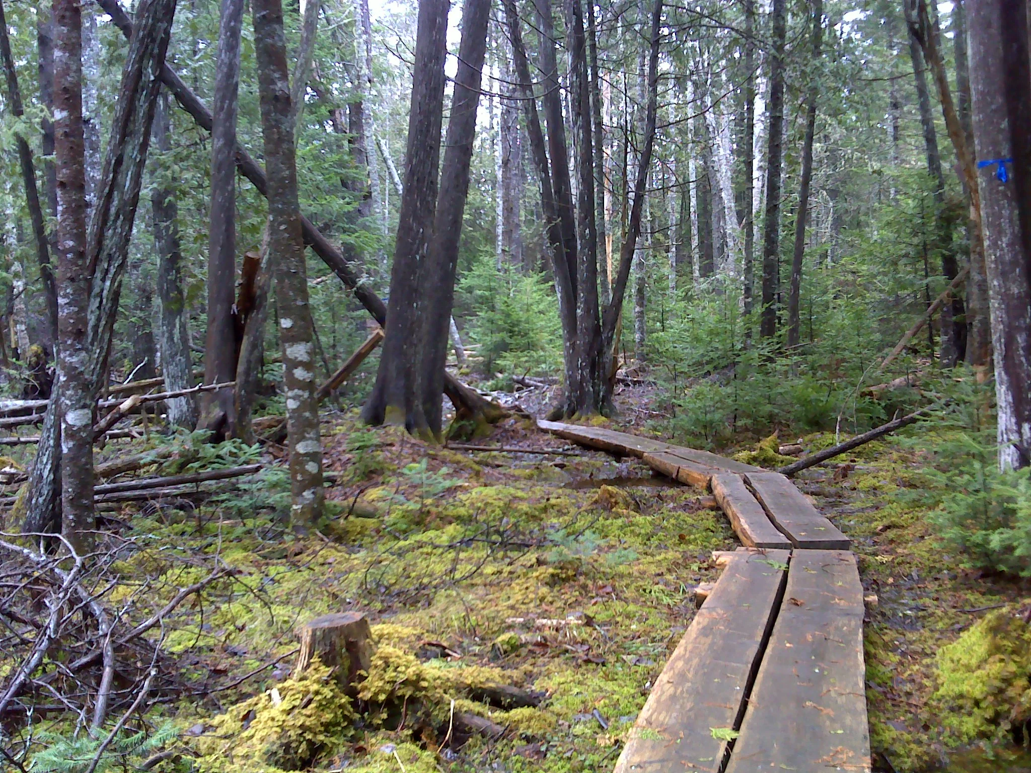
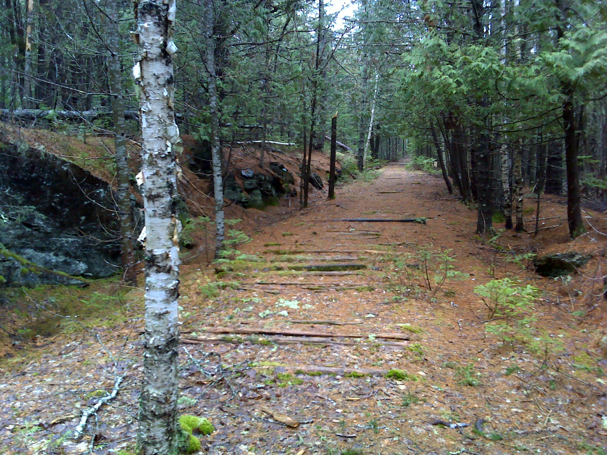
Saturday I hiked in the new Katahdin Woods & Waters National Monument. I drove the four miles from Matagamon south to the end of the road. Okay, so the road actually keeps going all the way to the south entrance, but it's blocked because all the bridges are gone. The area is criss-crossed with old logging roads that are open to hiking and mountain biking. In winter, you can ski in from Matagamon or Bowlin Camps.


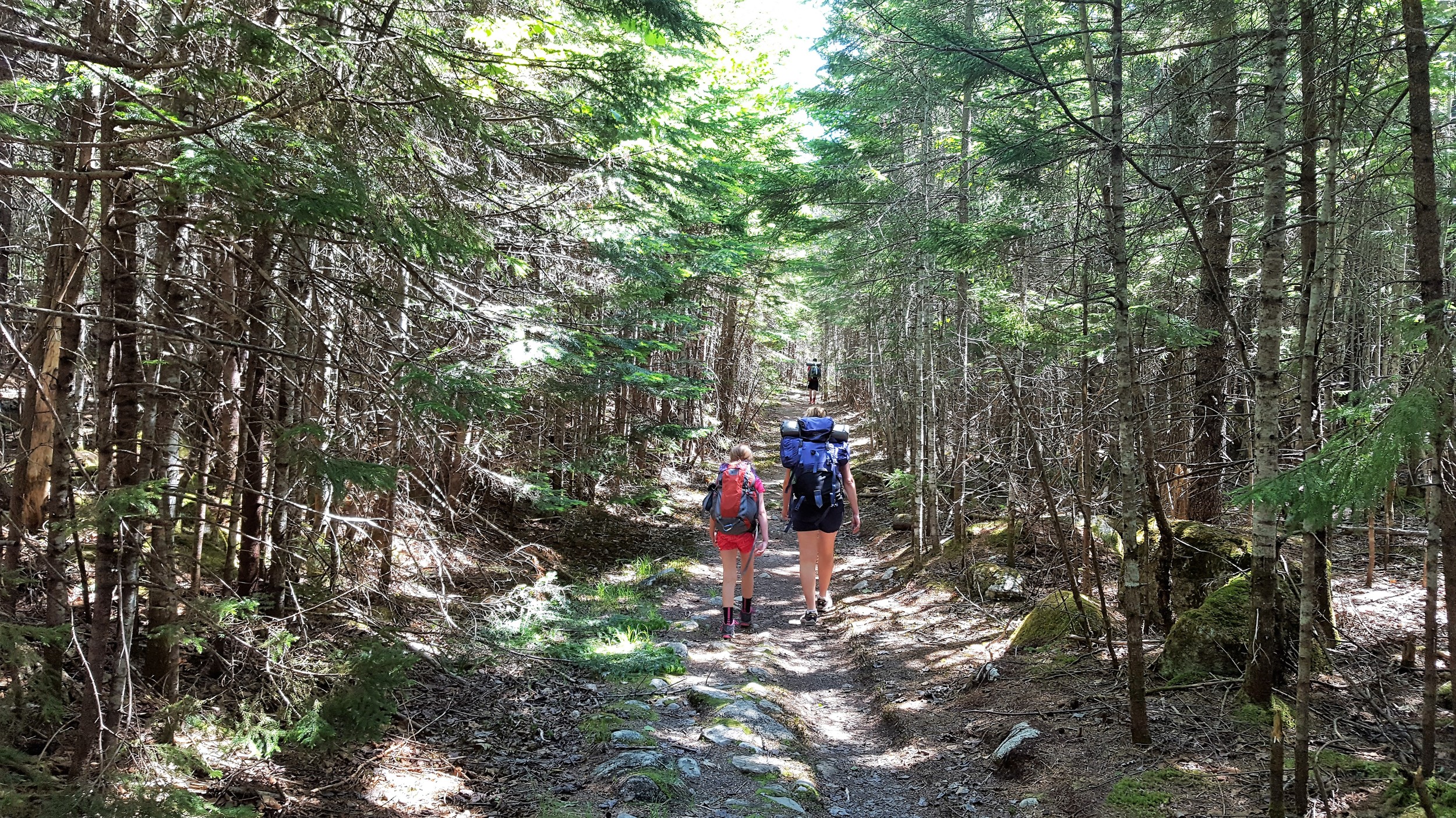
I hiked more than 12 miles in a loop with jaunts out to ponds and waterfalls. Along the East Branch I followed the International Appalachian Trail. The IAT begins in the monument near Katahdin Lake and winds all the way through New Brunswick and Quebec to the tip of the Gaspe Peninsula. It then jumps to Newfoundland and Iceland and Scotland. Which seems like a stretch until you realize that the coast of Maine and Atlantic Canada are geologically part of Europe. Like Iceland, they were ripped off Europe when North America and Europe separated several hundred million years ago.


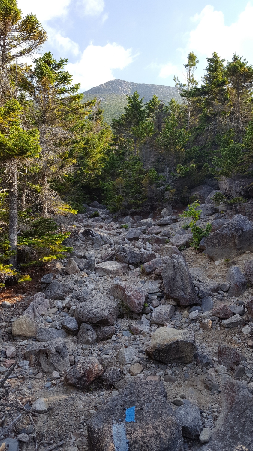
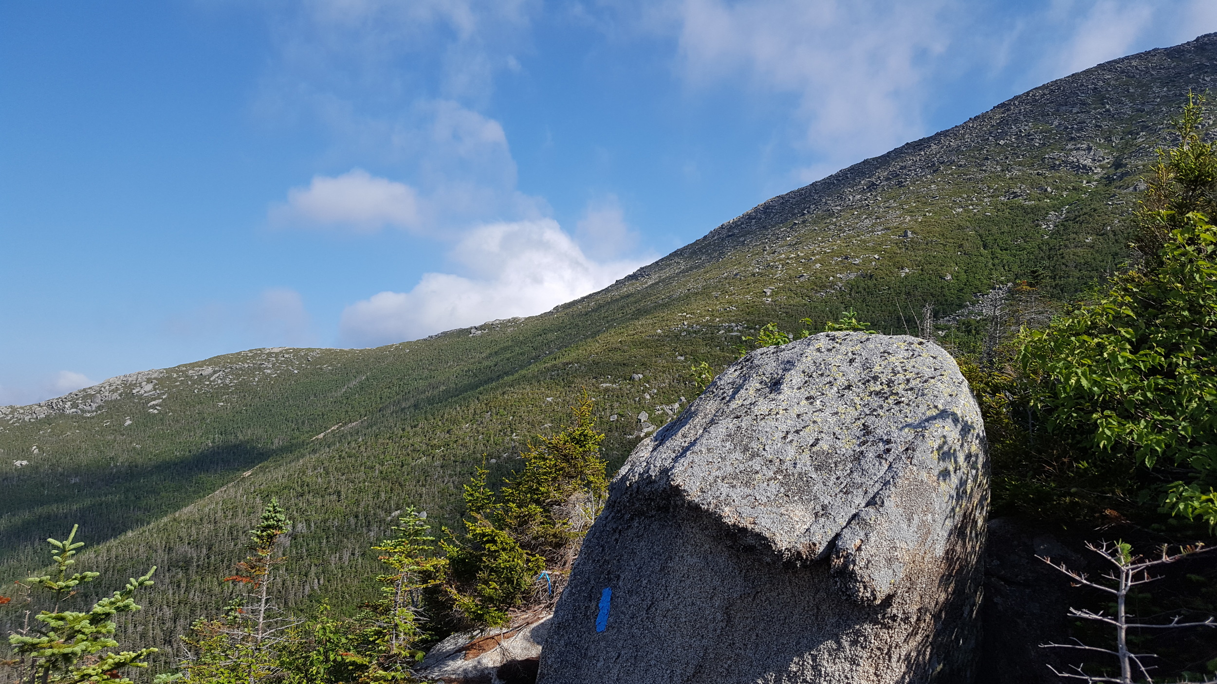
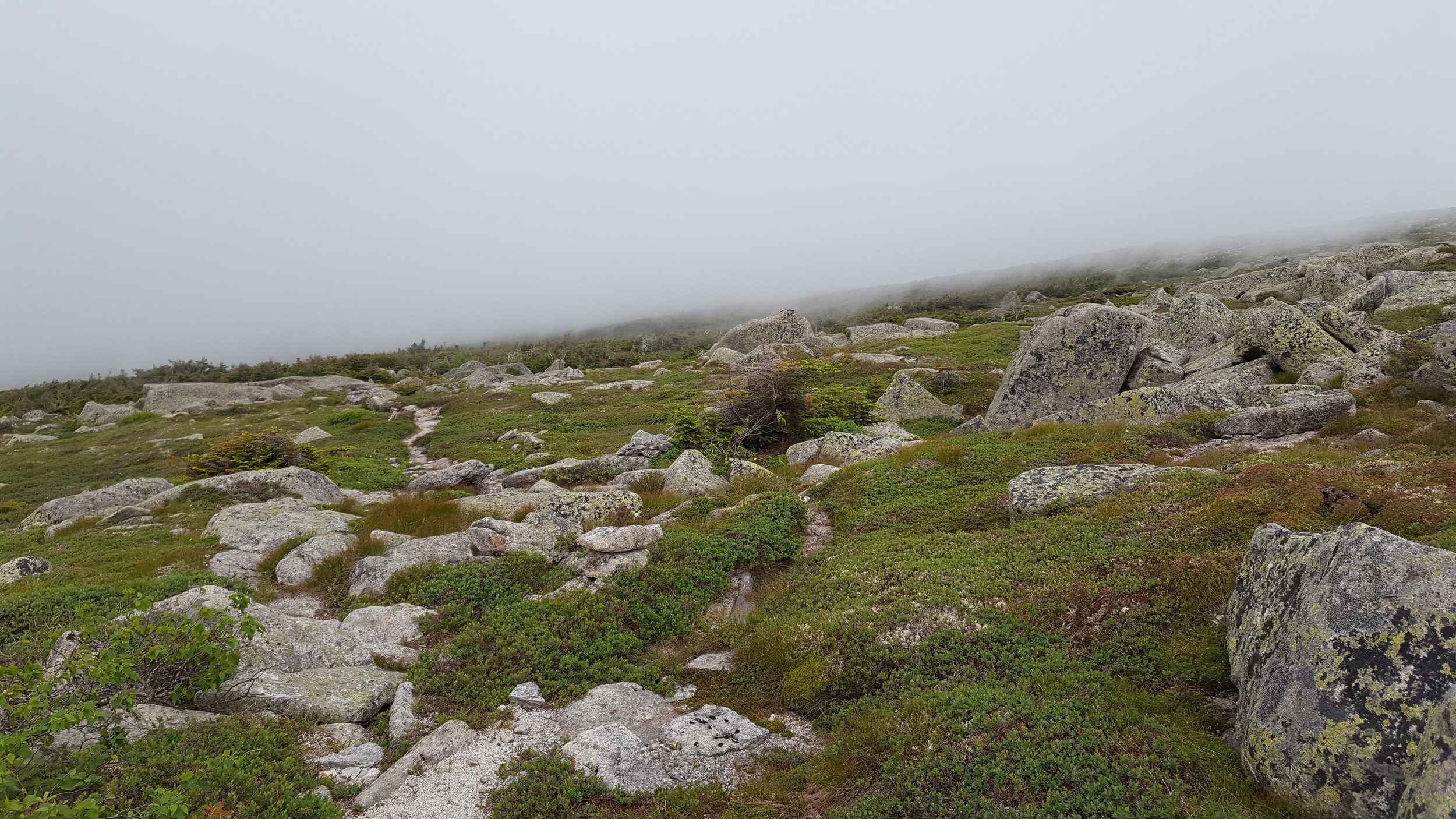
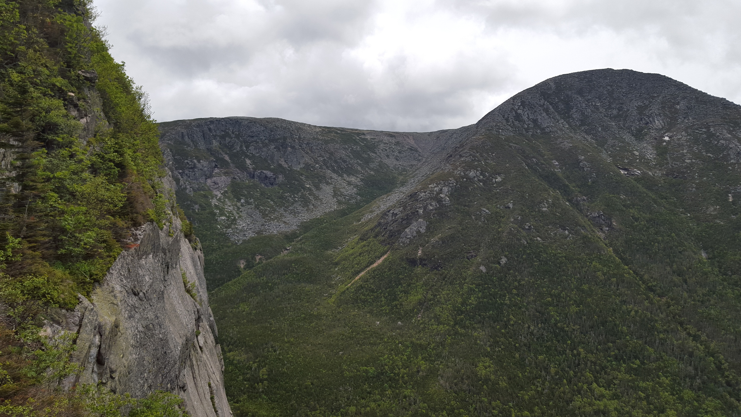
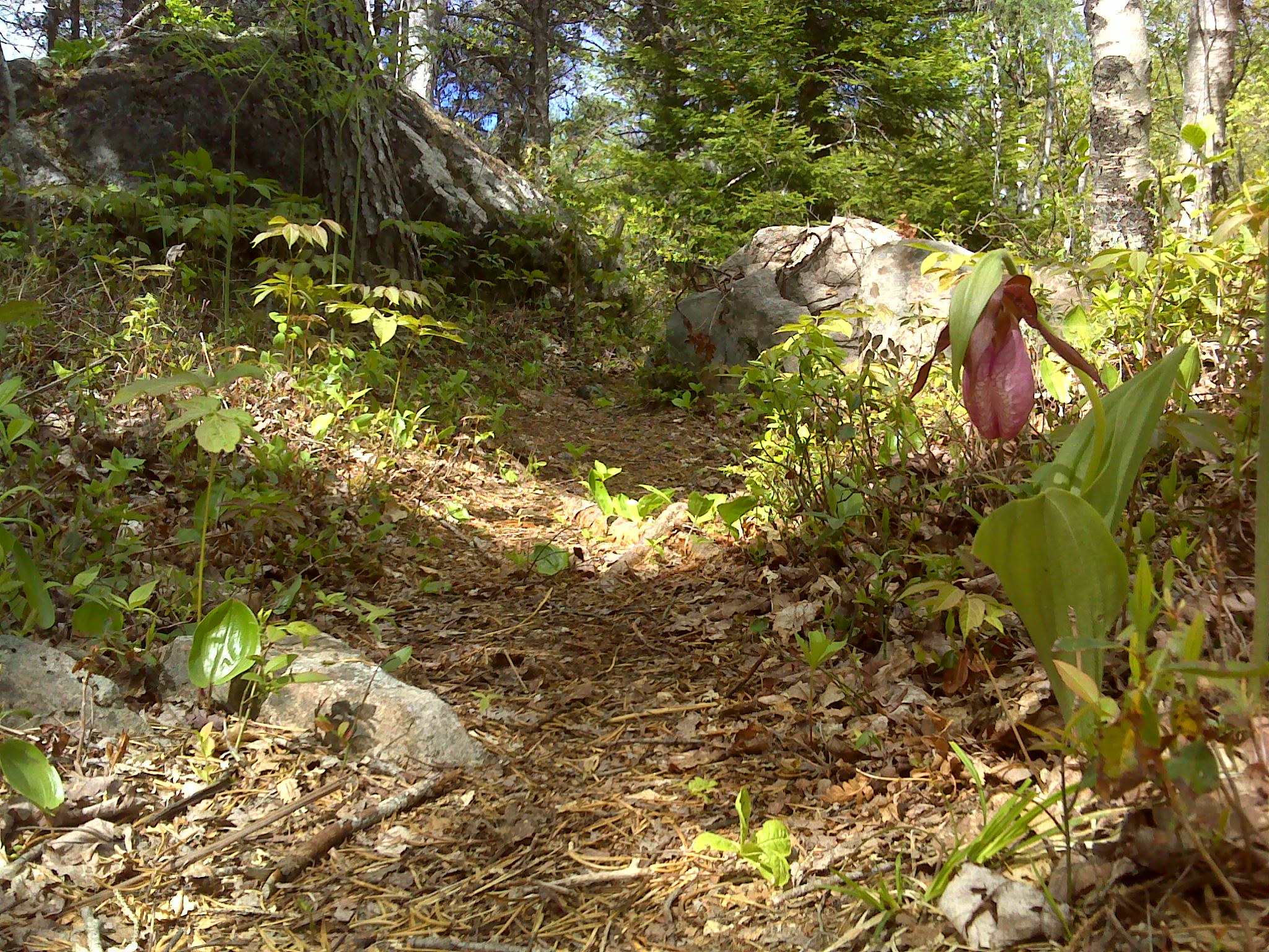
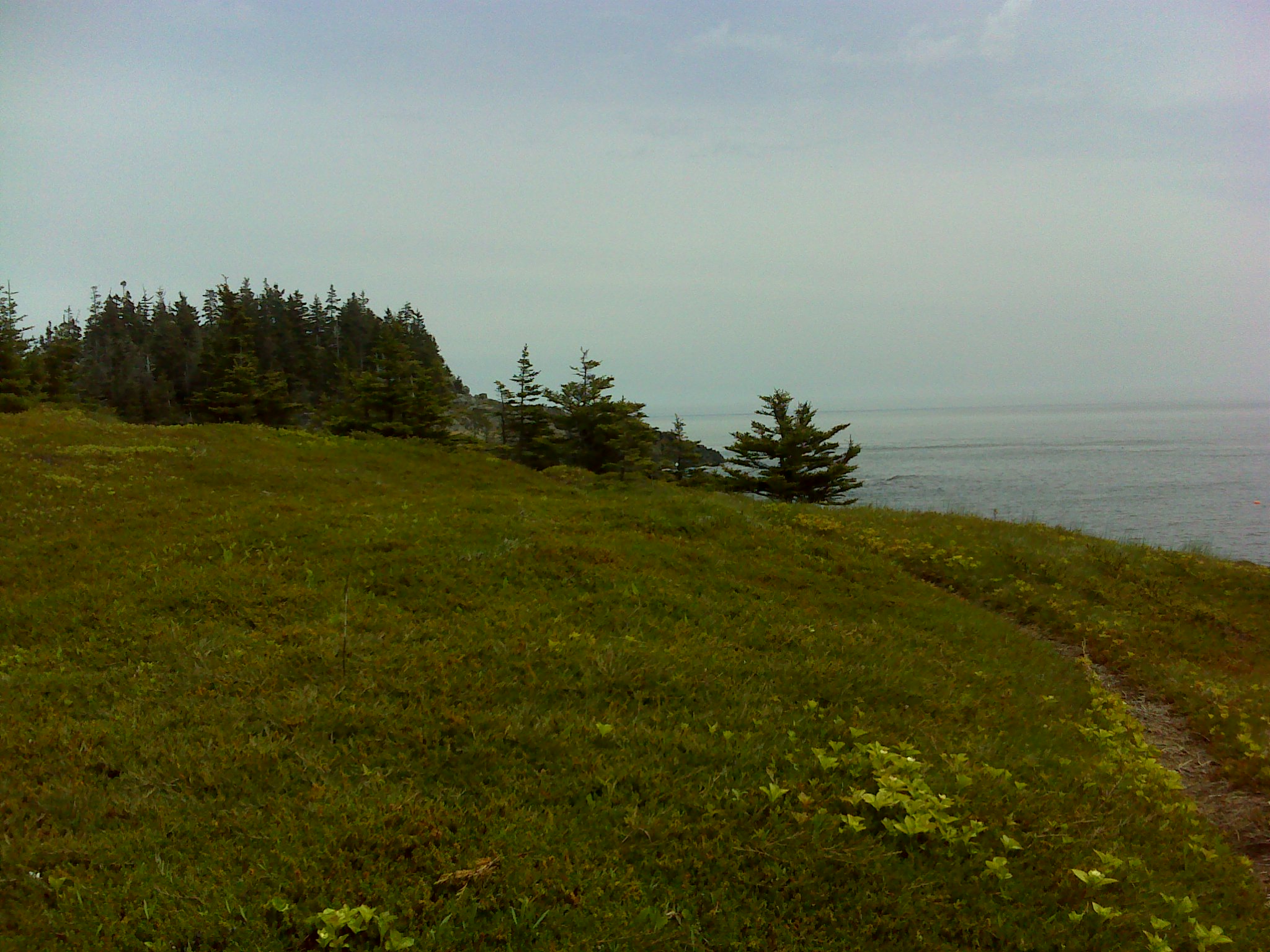
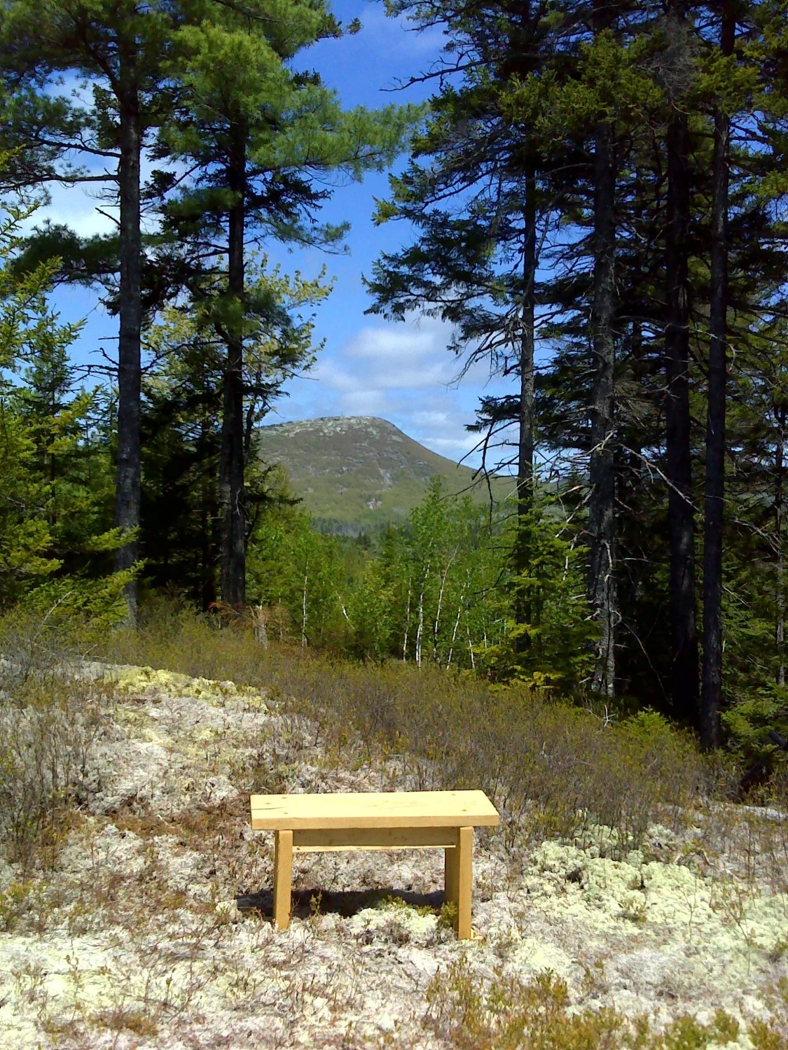
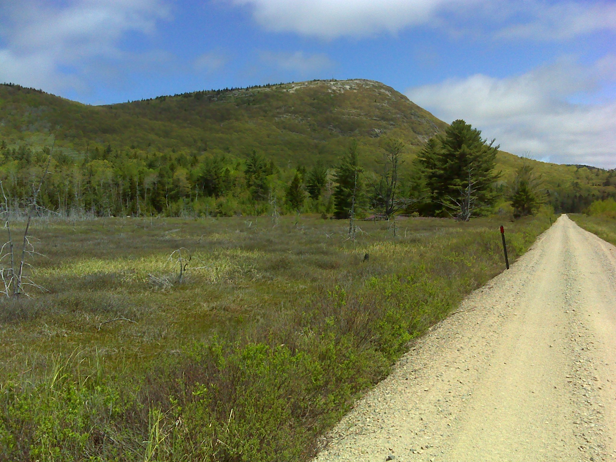
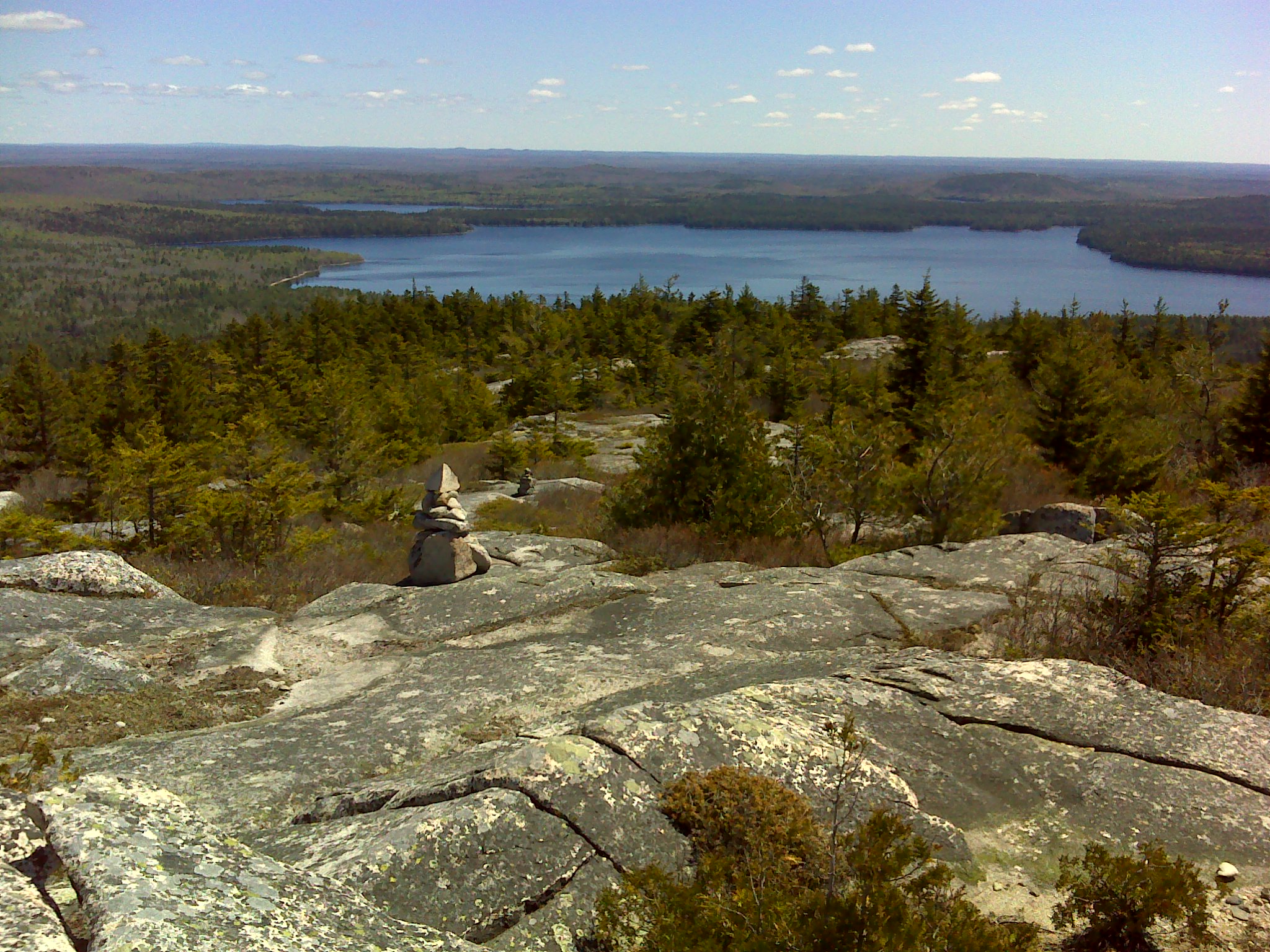
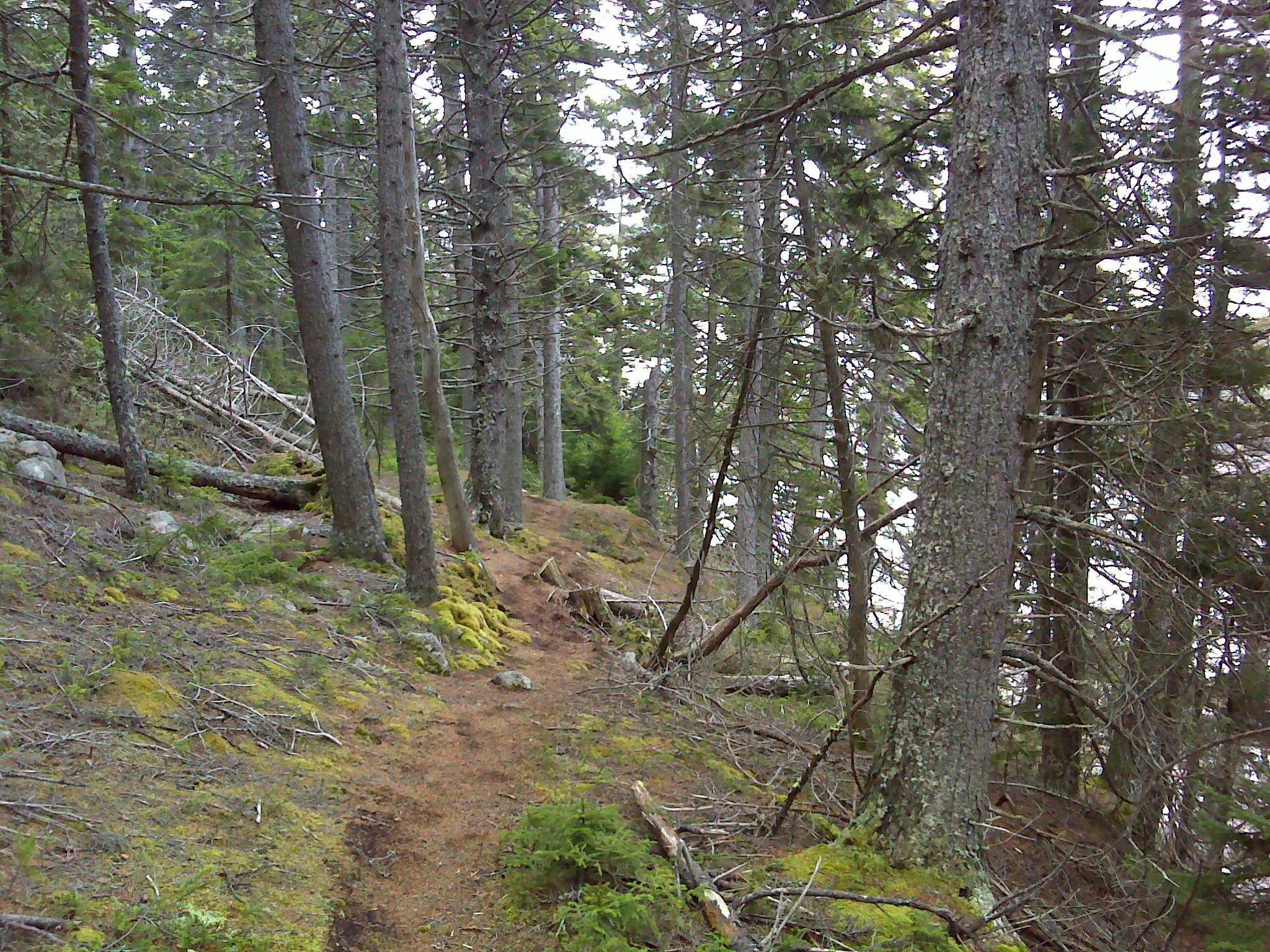
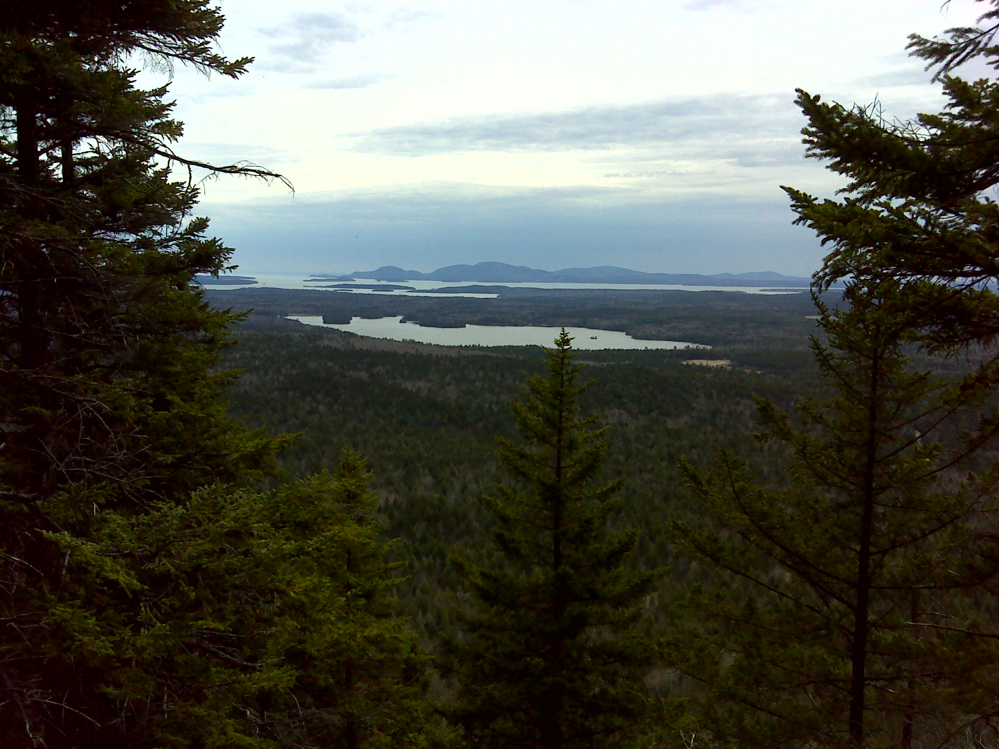
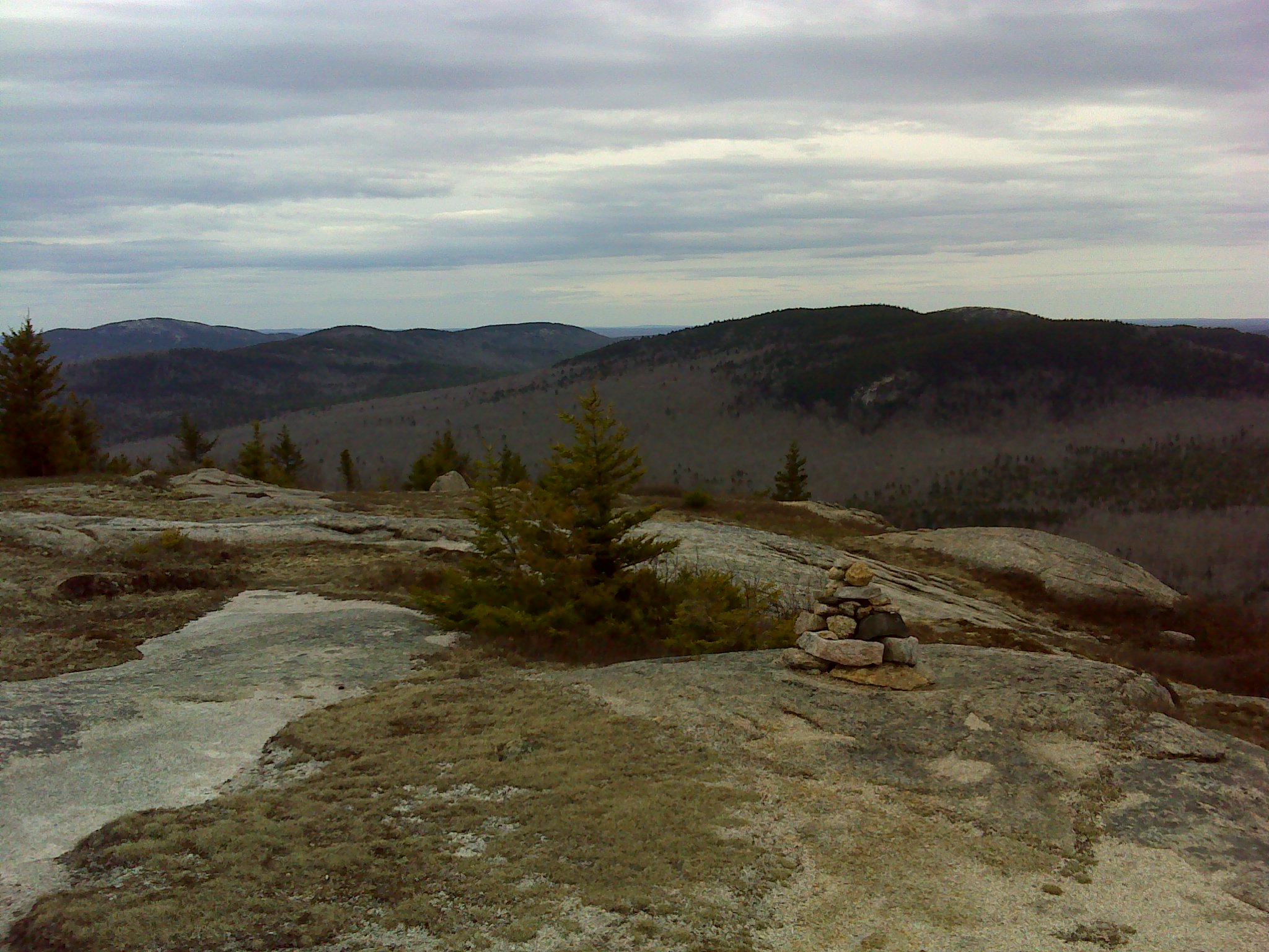
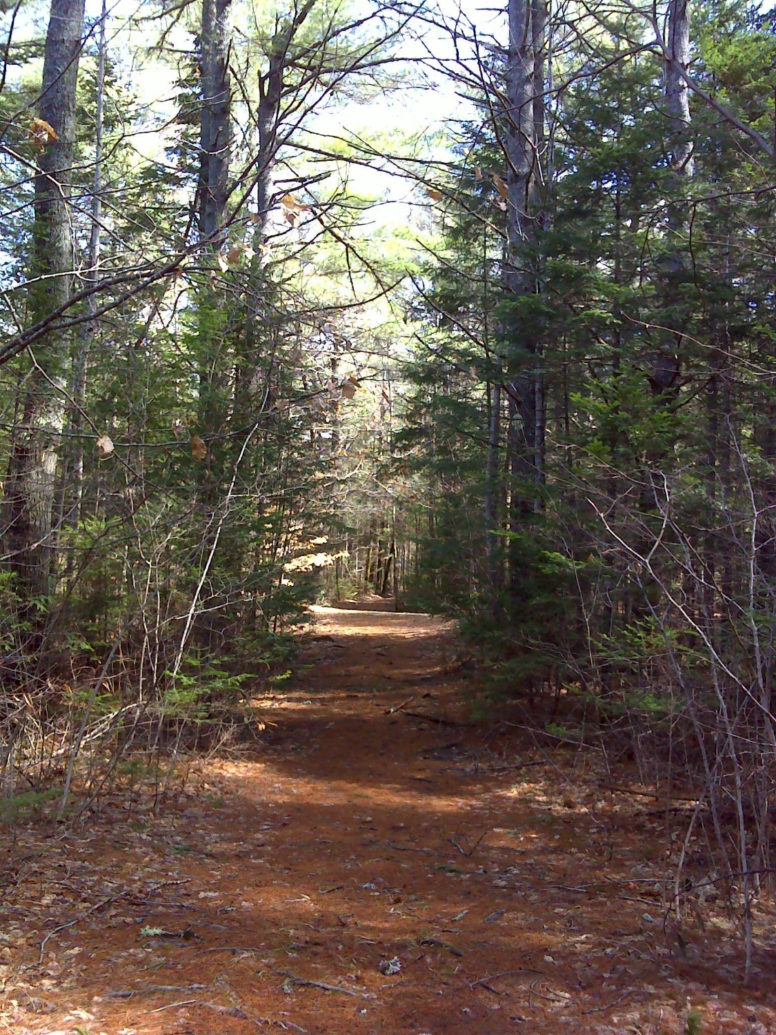
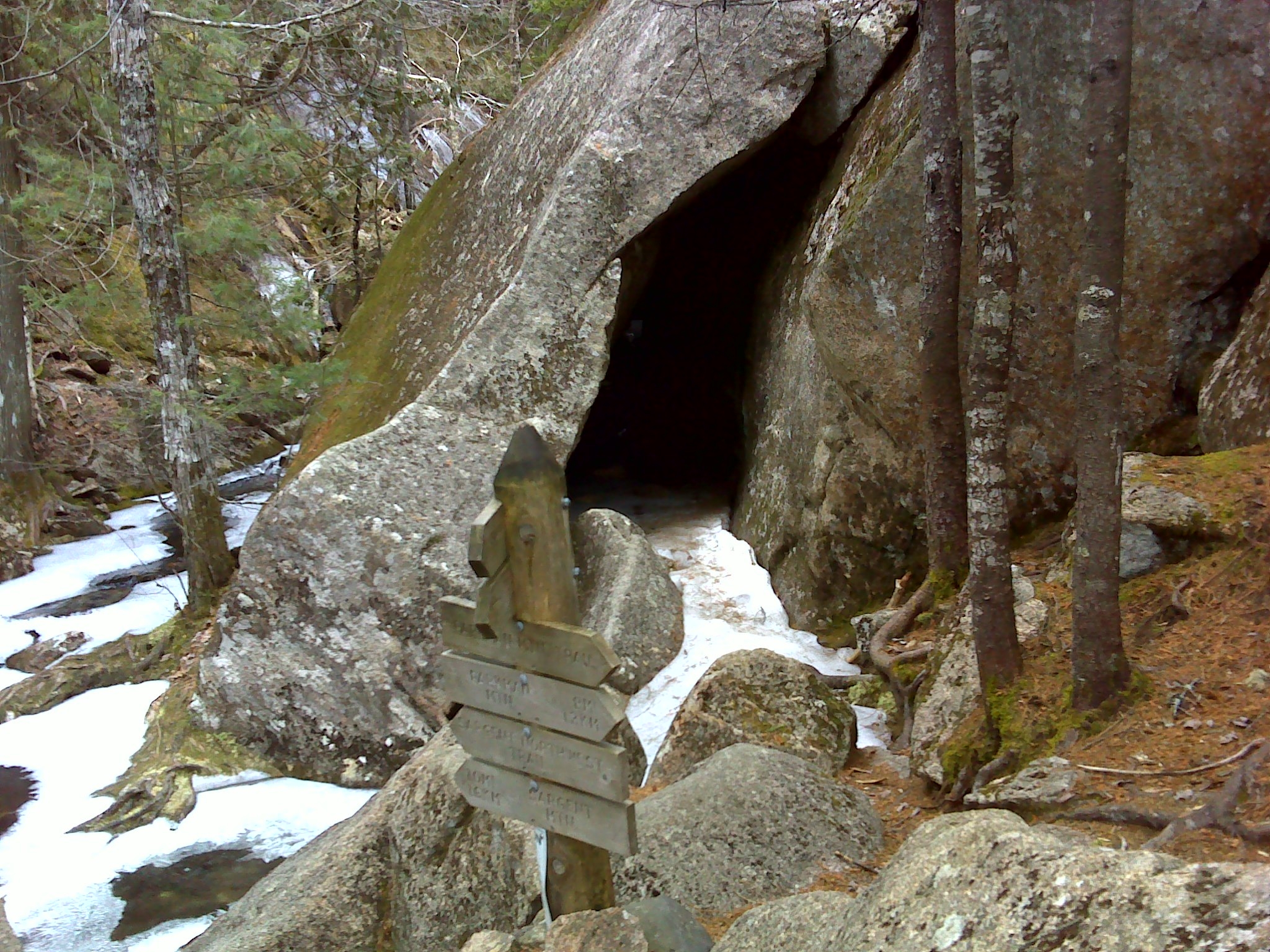
From the trailhead, I followed the overgrown road south. There were lots of moose scat and spoor as well as coyote sign. I didn't see any evidence of other hikers. I had planned to follow the road to the new trail to The Lookout—a rocky knoll that straddled the monument's boundary with Baxter State Park. Even though its only about 1800 feet high, The Lookout offers fine views of Wasataquoik Valley and the mountains of Baxter. It turns out it was farther than I reckoned, so I turned east on a cross trail and headed for the East Branch.


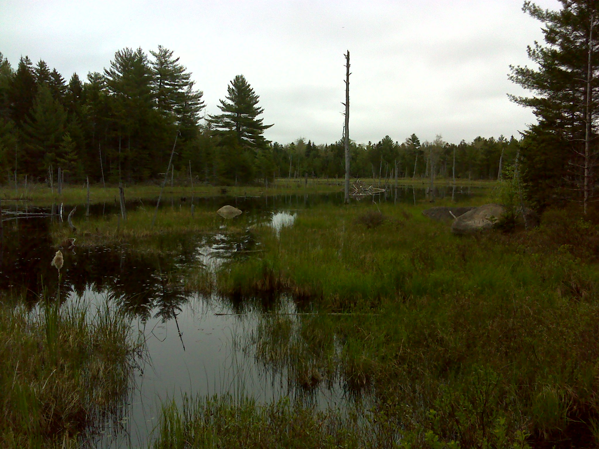
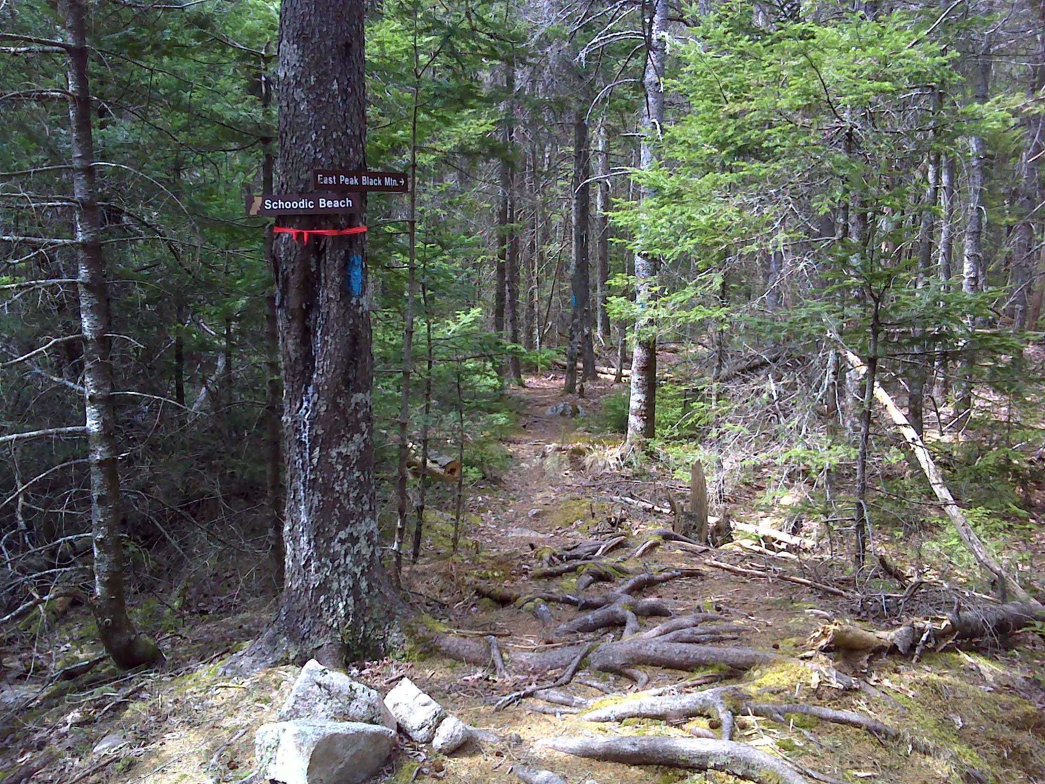
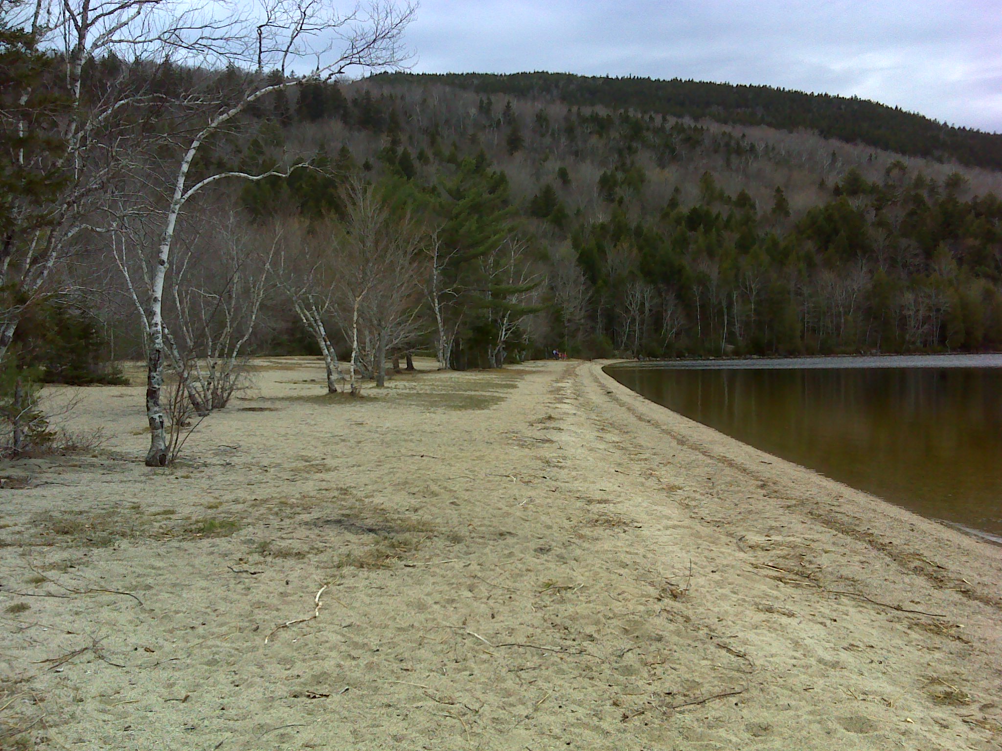
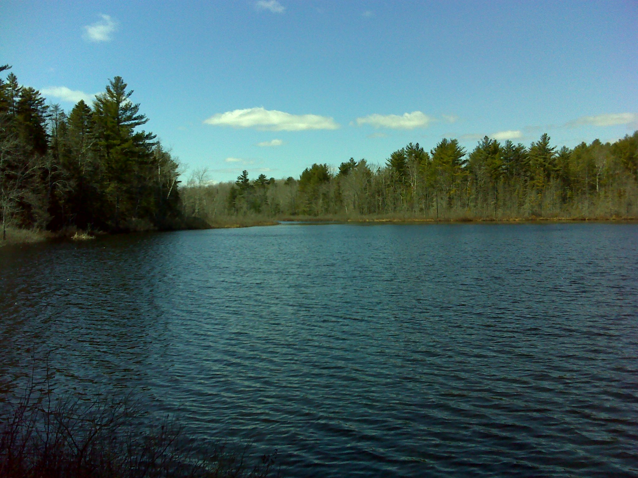
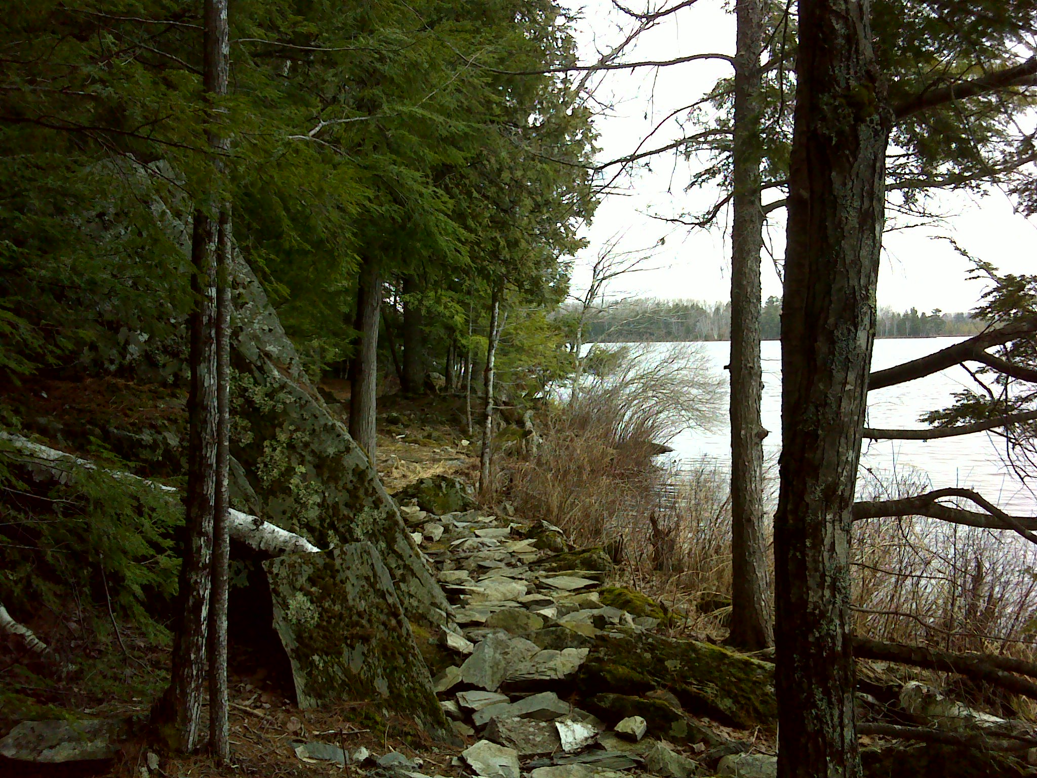
A short side trail lead to Messer Pond. I sat on the shore beneath a white pine and ate my lunch while a pair of loons fished in the pond. Between dives they occasionally called to one another. Their plaintive wails drifting across the water and into the surrounding evergreen forest.


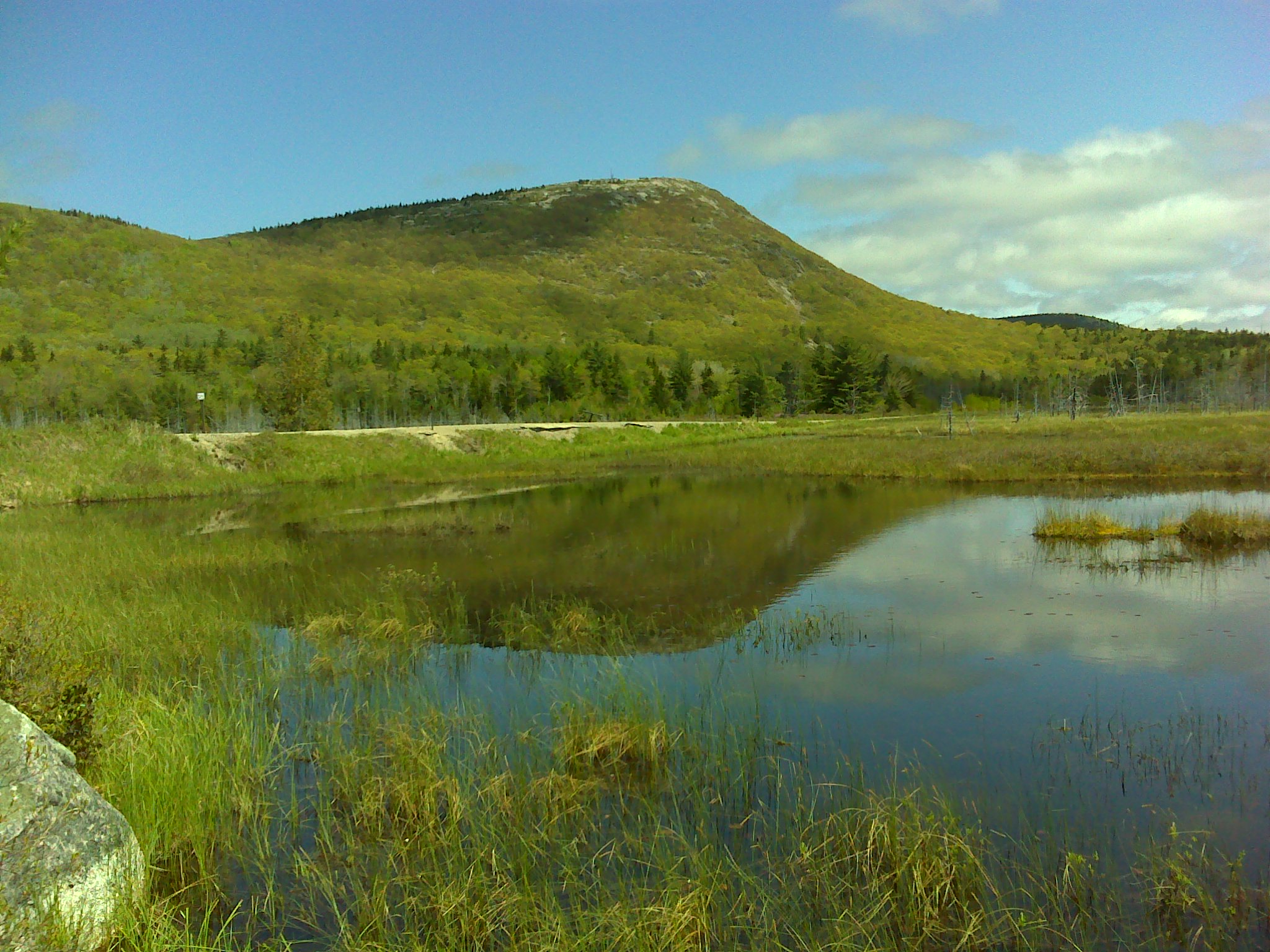
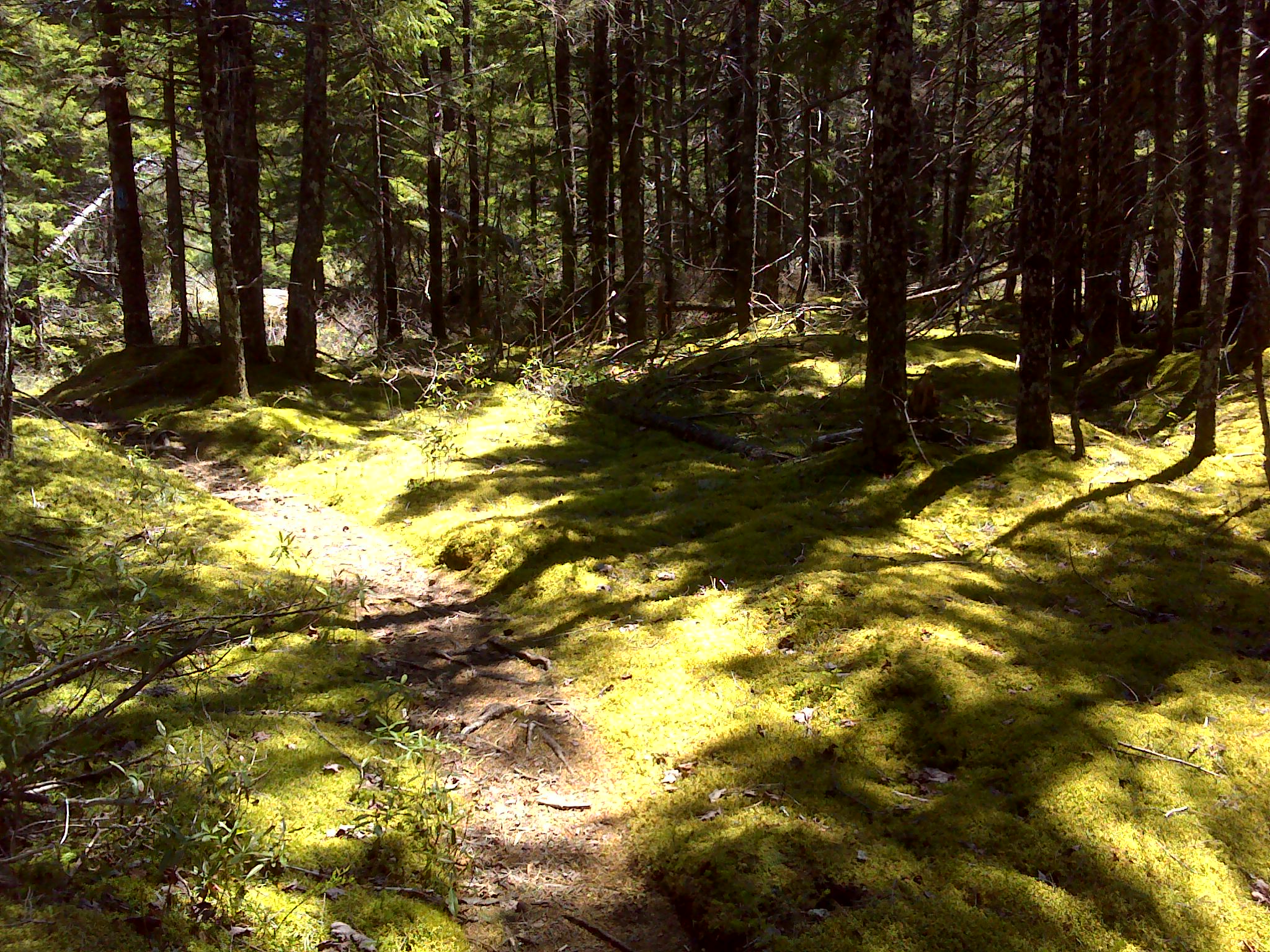
I continued east to the K Comp Road—a short cut to the Bowlin Camps. I followed it to Pond Pitch Trail. I turned right and followed new blazes (there really wasn't a trail) to Little Messer Pond. From its south shore, I had a fine view of The Traveler.


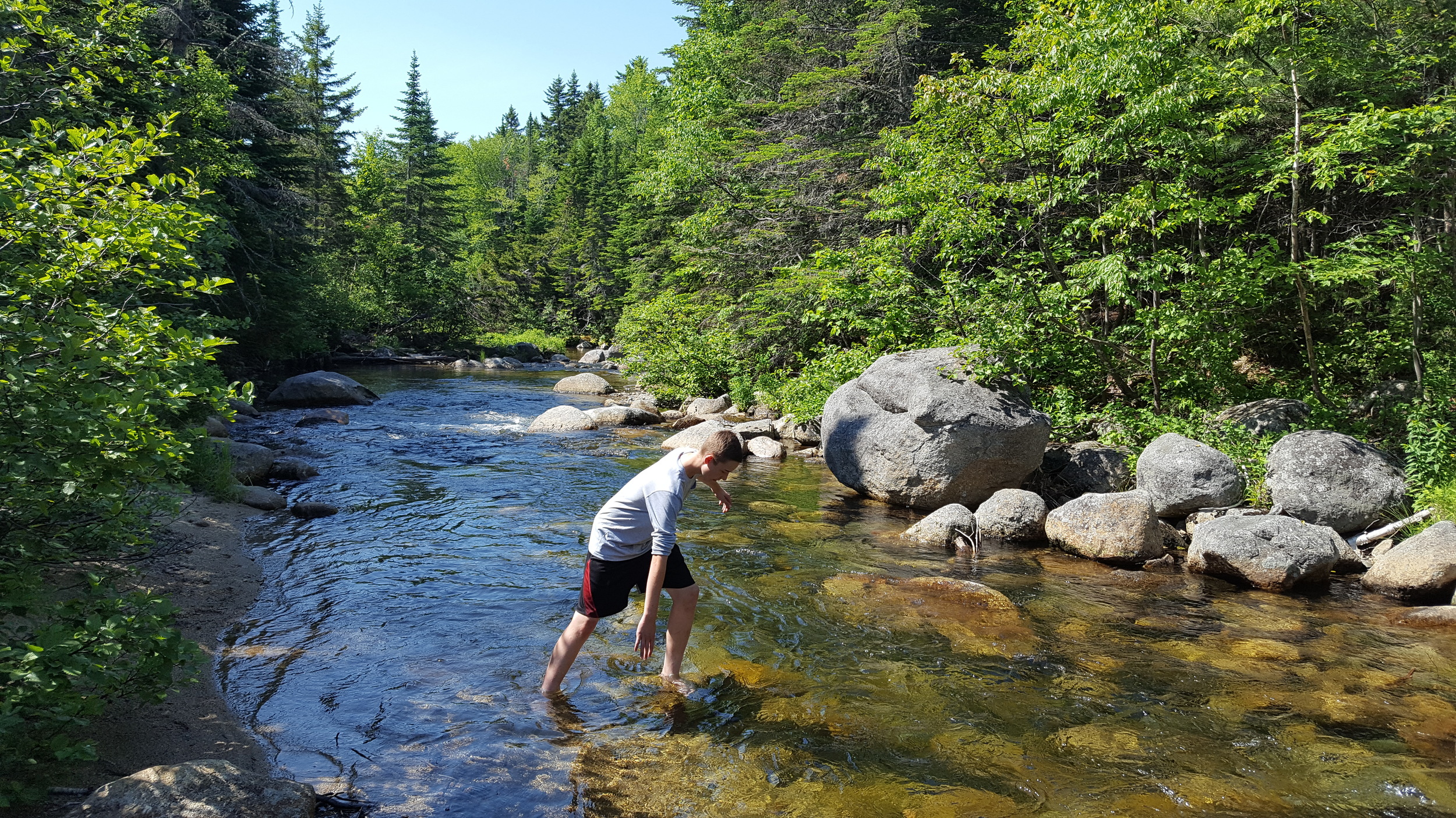
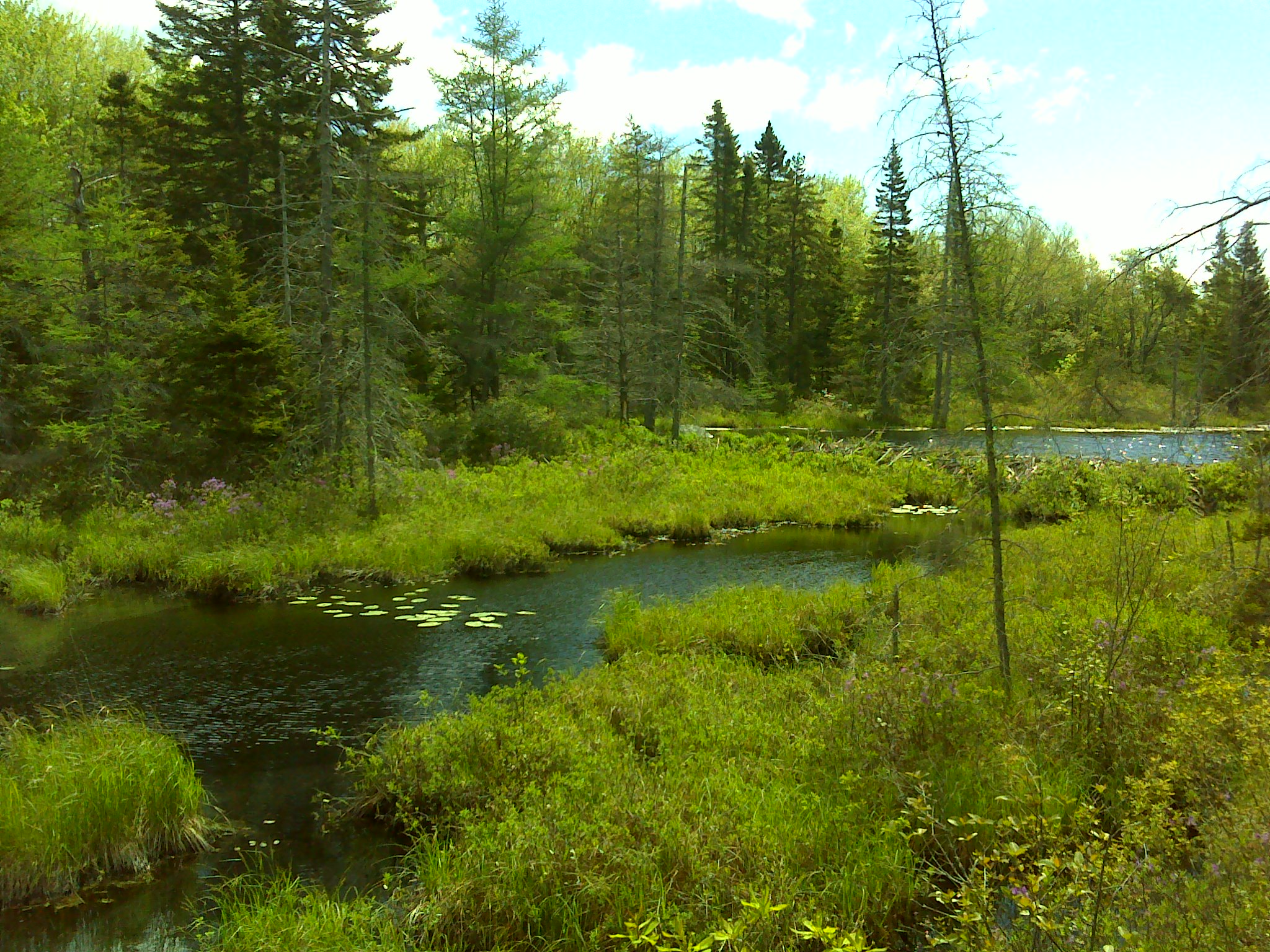
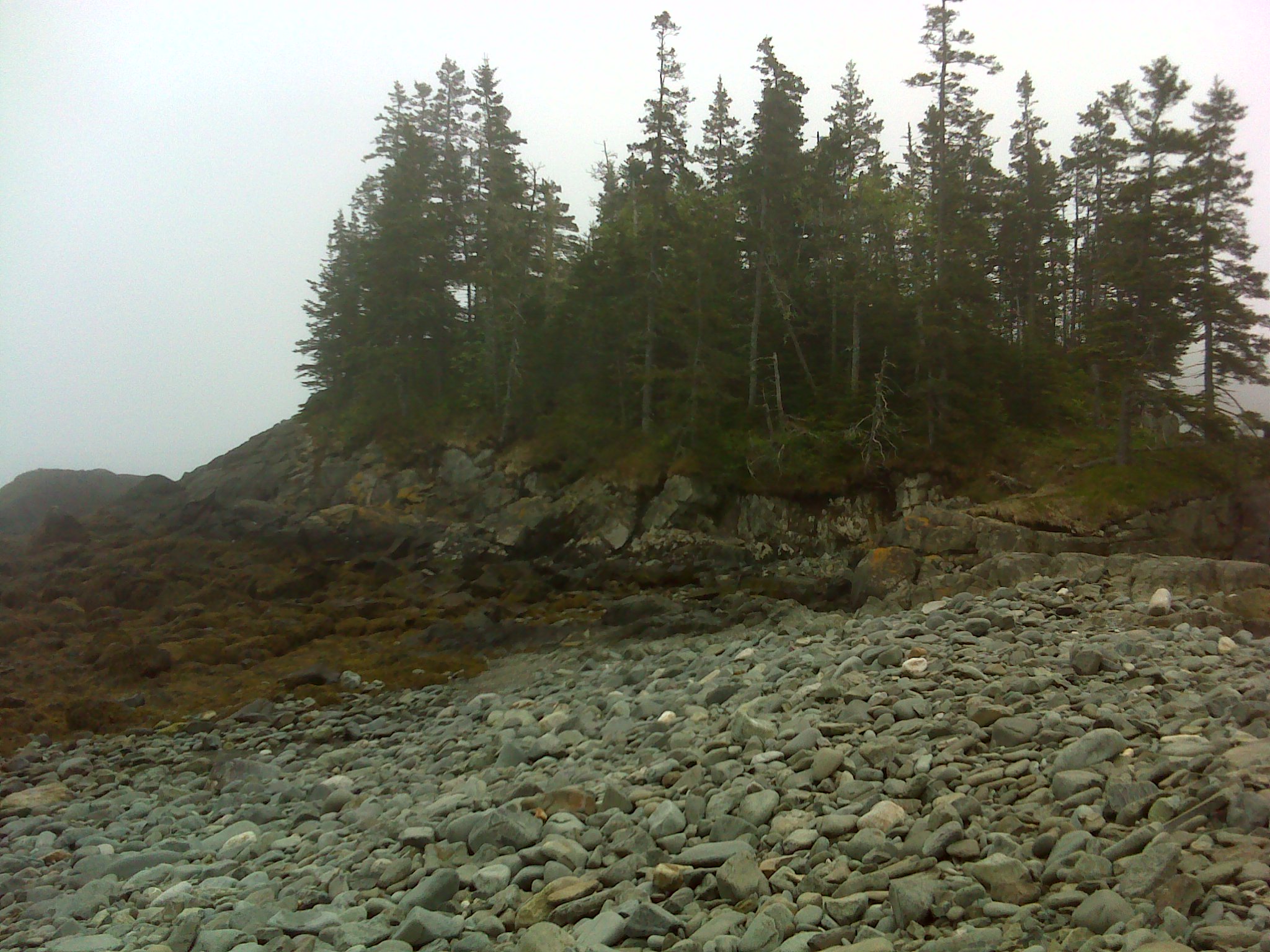
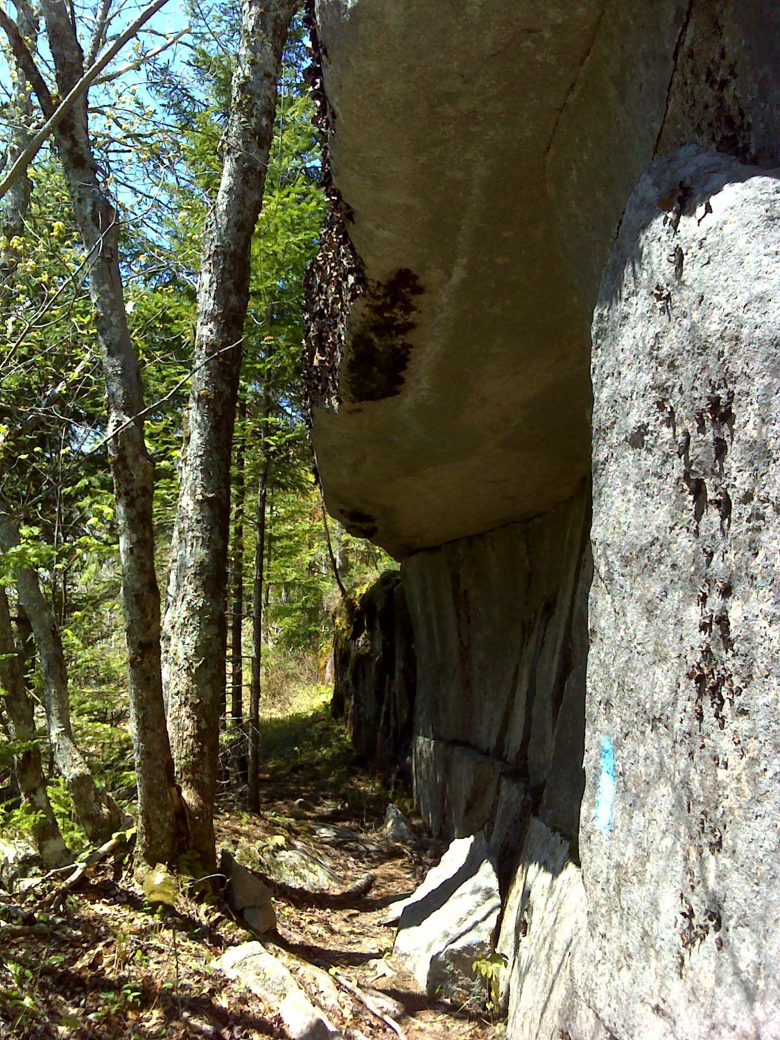
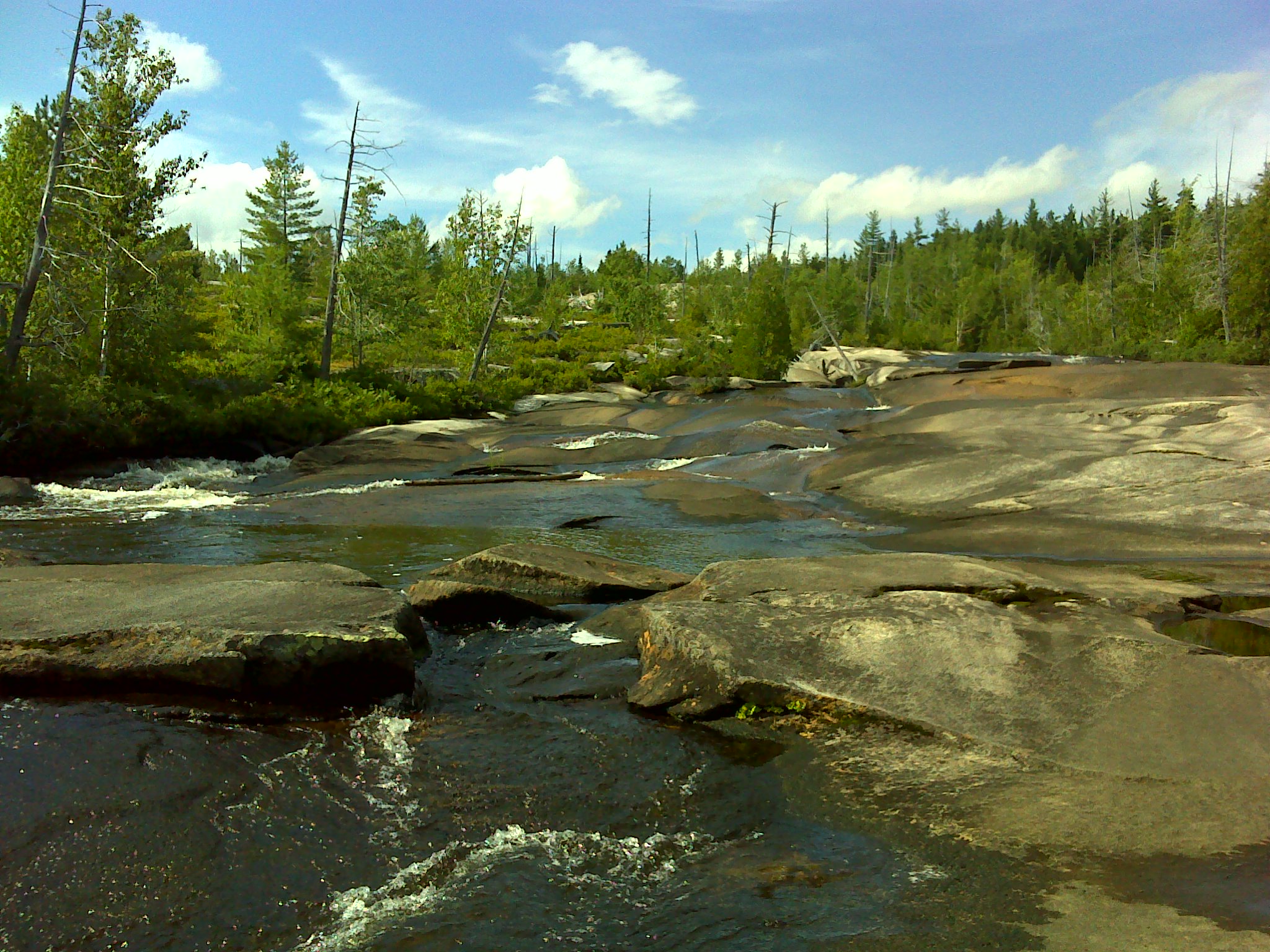
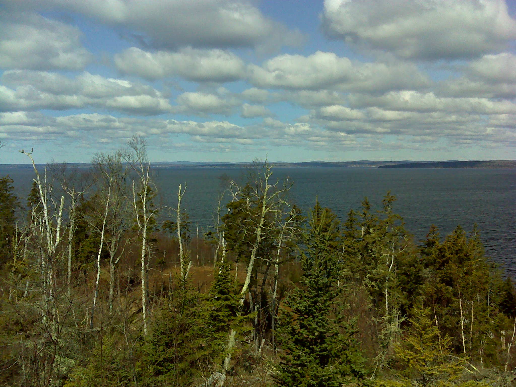
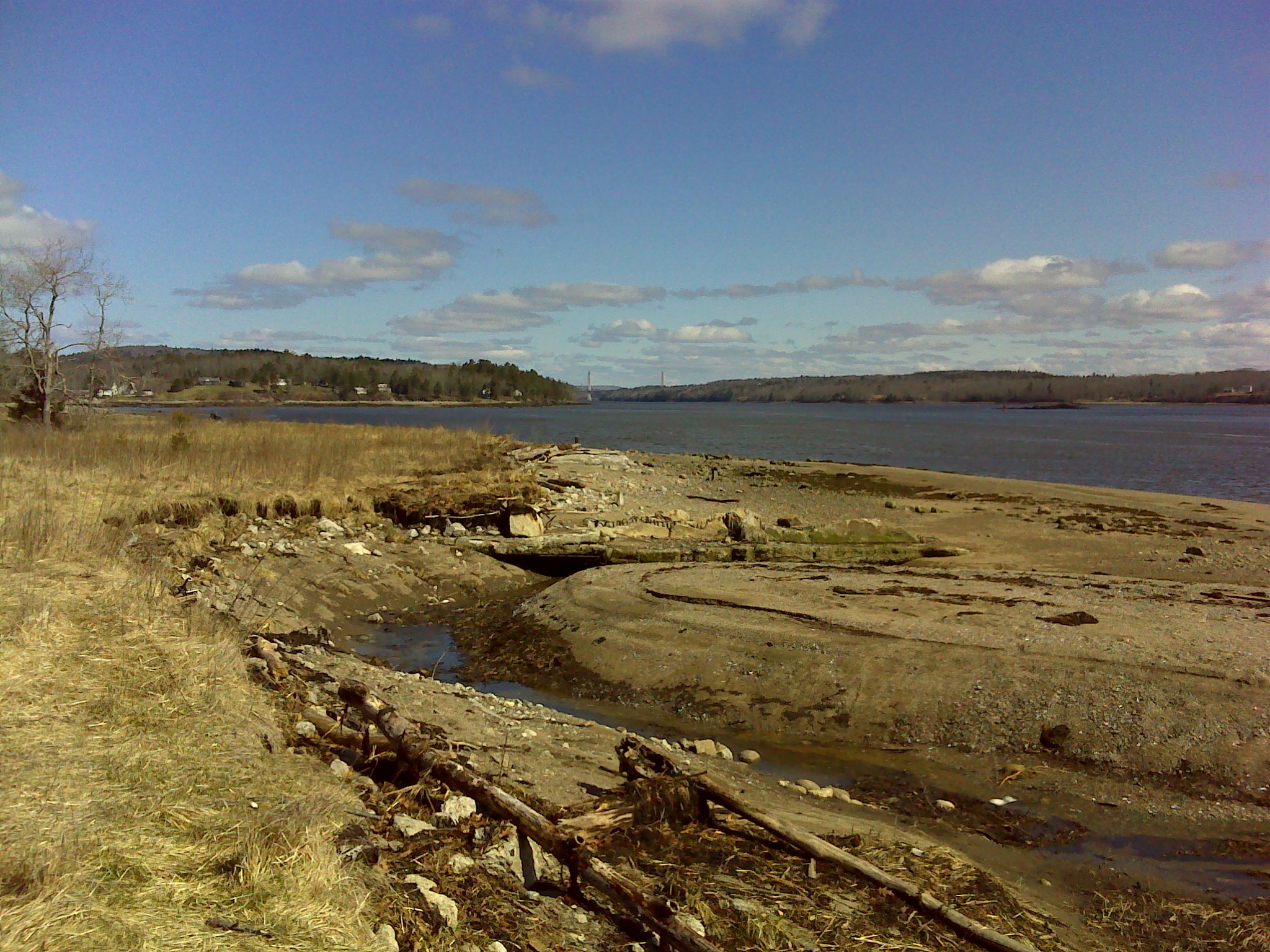
I turned around and followed the trail across K Comp Road and all the way to the IAT along the East Branch. The trail ended at Pond Pitch. On Maine rivers, a pitch is a waterfall that's too large to navigate in a canoe or batteau. A falls, counter-intuitively, is whitewater that is navigable. The East Branch between Grand Lake Matagamon and the south entrance to KW&WNM is a series of pitches and falls separated by pond-like deadwaters. It's a beautiful and remote stretch of river.


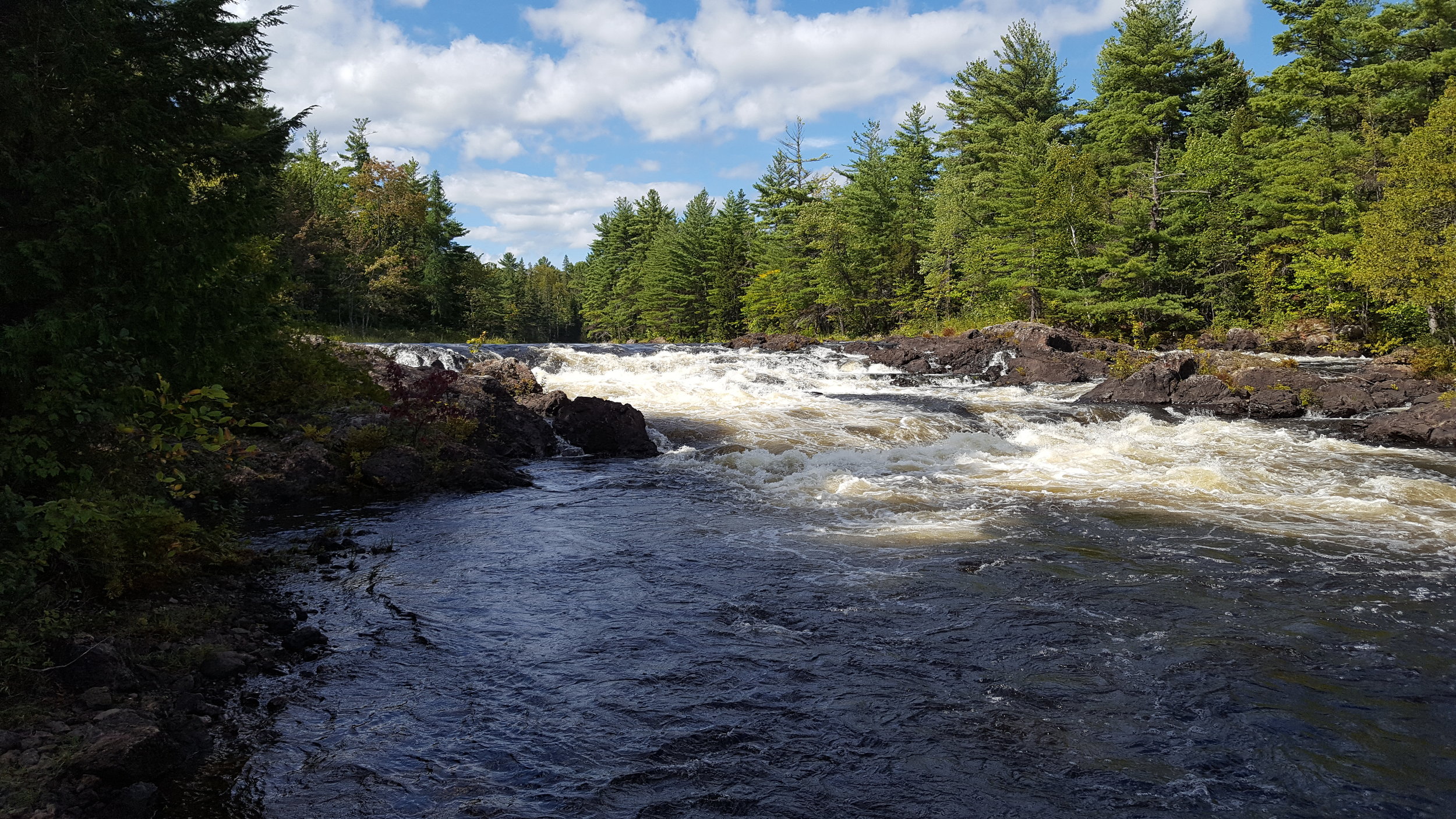
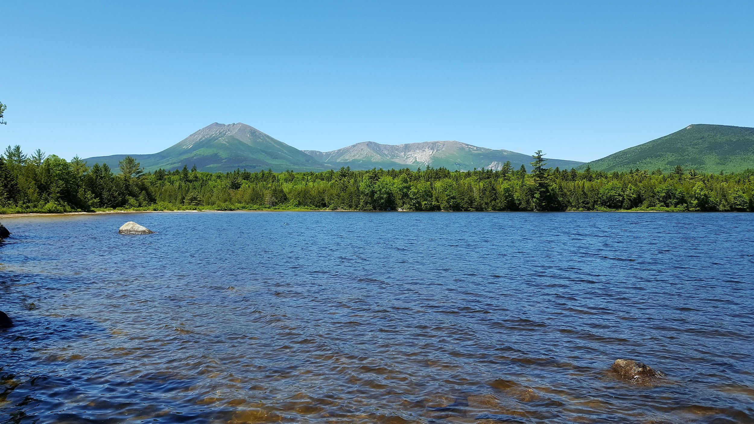
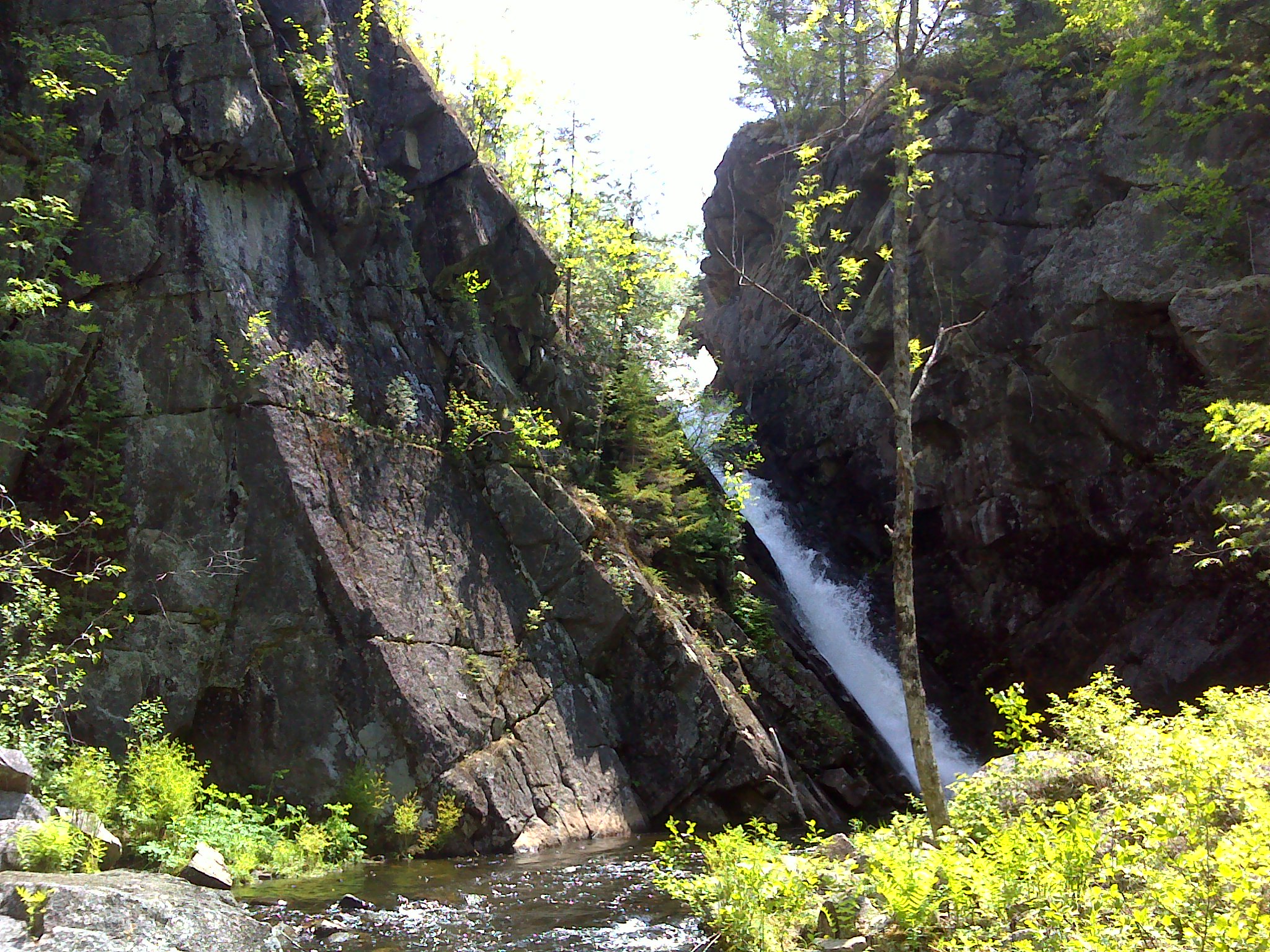
I followed the river north to Haskell Pond Pitch. The pitch is actually an S-shaped section of river with two distinct waterfalls—the upper being the higher. Between the falls, a fifteen feet tall mass of conglomerate sits right in the middle of the river. Upstream, across the deadwater, I could see Bald Mountain and The Traveler.

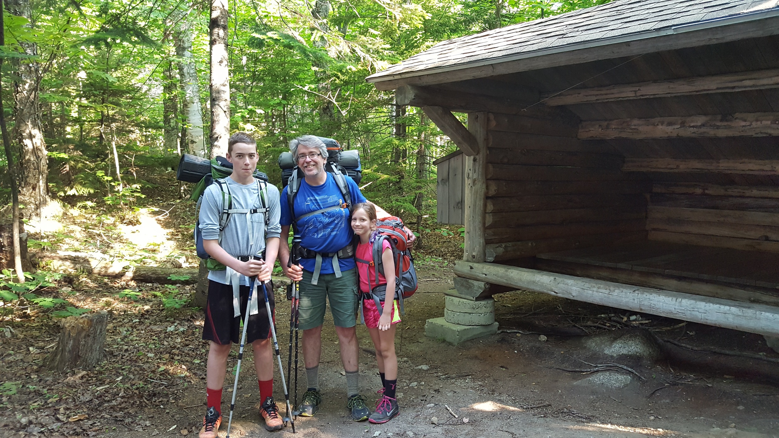
From Haskell Rock Pitch, I followed the IAT past a shelter, a hut (a beautiful cabin along the river that's open to the public), and a side trail to Stair Falls. I'd canoed the falls twice, so I skipped that trail and hiked my tired feet back to the trailhead.

Abol Trail by Greg Westrich

The Abol Trail was always the fastest, most direct route up Katahdin—less than four miles from trailhead to Baxter Peak. It had the added cache of being approximately the route followed by Thoreau in 1846 when he climbed to the Table Land.


The trail followed Abol Stream to a slide. The trail ascended the slide, and then the boulder field above it. The slide was unstable and repeatedly shifted. A couple of years ago, the trail was closed—deemed too unsafe for hiking.


Last week the new Abol Trail opened. The first mile and a half are the same. From that point a new trail was cut, switchbacking up to and across the ridge between the slide and Hunt Spur (that the Appalachian Trail follows up Katahdin).


The new trail winds through dense stands of skinny spruce over a footbed of broken granite and soft duff. Much easier walking than the loose rock of the slide.

Above the slide, the new trail rejoins the old trail. The boulder field is the steepest section. Two tenths of a mile that climbs six hundred feet. I did the math: that's nearly a 45 degree grade. As I climbed, fingers of clouds swirled around above, reaching down to tickle me.


Visibility on the Table Land was about twenty feet.


Just before I reached Baxter Peak, a hole opened in the cloud and the summit appeared. That window closed again before I reached the top. I took a few pictures of the cairn, the sign marking the northern end of the AT.


Rather than head straight down, I hiked north on the Saddle Trail, dropping elevation quickly. All around me spectacular scenery hid behind clotted cloud. I turned left onto the Baxter Peak Cut-off Trail. Alone, I walked across the Table Land. Had it been clear, I would have had great views of the Northwest Plateau, The Owl, the whole of Katahdin. Instead, my eyes were drawn down to the carpet of green and the lounging boulders. Small flowers nodded as I passed. Pipits trilled. Here and there, stands of stunted spruce and birch grew in twisted knots. The trail passed the head of Witherle Ravine, even through the fog I could feel its yawning drop.


And then I was back at Thoreau Spring—just a muddy hole this year. An hour later, I was well down the mountain. Back out of the cloud. Under humid, blue sky. All the day hikes for Best Hikes in Baxter State Park are done.


Katahdin Lake backpacking trip by Greg Westrich

Ann and I took Henry (14) and Emma (9) on a three day backpacking trip. We hiked in to North Katahdin Lake from Avalanche Field in Baxter State Park. The second day we day-hiked to Twin Ponds at the end of the trail. One of the most remote places in Baxter. The third day we hiked out. In all, we hiked nearly 20 miles. (A full description of this route will be in my new guide Best Hikes in Baxter State Park next spring.)


A few observations about backpacking with kids:


At the end of Henry's first backpacking trip, when he was 8 ½, he stood by the trailhead with a grim expression on his face. At the end of this trip, Emma flung off her pack and shouted with joy. She was justifiably proud of herself.


Emma had been excited about the trip for some time. The morning we began, she put her pack on as soon as she got out of the car. When I wanted to take a picture of the four packs together, she wouldn't take hers off. So, she's in the picture, squatting down with the other packs.


Henry likes to hike fast, but he doesn't like to hike alone. Emma hikes slowly. Ann and I tag-teamed being with each child. I find it hard to walk at Emma's pace. After all, her legs are half the length of mine. When Henry was younger, I always made him hike in front of me so he could set the pace and not have run to keep up with me. Emma often follows in my wake. It helps her keep a more consistent pace. She tends to get distracted by fungus, toads, flowers, sun fish in their gravel nests, whatever. On the one hand, her interest in nature is heartening. But it's kind of annoying when we've got miles to go before I can put my pack down. I've never been very good at taking breaks or stopping for distractions. Maybe, I need to hike with Emma more. (Later this summer, she and I are doing the same trip Henry and I did when he was eight. I'll let you know how I feel about it after three days with just the two of us.)


I have some of my best conversations with Henry and Emma when we're hiking. There's something about the shared experience and lack of everyday distractions that puts us at ease. They both like to hear me talk while we walk. Henry has traditionally wanted me to talk about and ask him questions about science. Emma likes to hear about my experiences before she was born, especially if they involve people and pets she knows or knows of. They both demand “Uncle Andy stories.”


At night, Ann lays down in the lean-to and conks out. The kids and I toss and turn. When Henry was eight, he liked me to hold his hand (he denies it now). This trip Emma held my hand and slept right up against me.


The only complaining the kids did was in the morning. They hate getting up and getting going. We had to threaten Emma to get her out of her sleeping bag the second morning. Once on the trail, she was her usual happy, talkative self.


I have never had a bad or disappointing hike in Baxter. There are wonders and surprises around every corner, beneath each boulder, at the top of each hill. And it's all better with the Ann and Henry and Emma. Even if I have to do twice as much work.  

The North Brother by Greg Westrich

Henry wasn't crazy about the hike up North Brother. We followed the Marston Trail, which climbs 3200 feet from Nesowadnehunk Stream to North Brother's rocky summit. Most of the hike is in the woods with only occasional views. A fourteen year old needs more stimulation than that. The loudly tumbling stream, the bleached gray snags and dri-ki in the remote pond, the bone white granite draped with moss, the crushed orange granite sand paving the trail on the high plateau, the clear spring water rushing down the trail, the rustling leaves in a stand of birch: No. Henry wanted wide, expansive views. He wanted every climb to be The Traveler. Don't get me wrong. He kept up with me and never complained, but his heart just wasn't in it until we climbed above the trees. But I'm getting ahead of myself.


Other than Katahdin, North Brother is the highest of the mountains that ring The Klondike. It's a near perfect cone with corduroy sides—the slopes of North and South Brother have alternating bands of dark green spruce and brown. It has something to do with the underlying geology.

South and North Brother from Mount Coe

South and North Brother from Mount Coe


Marston Trail includes three separate climbs. The first gets your blood flowing and heart pounding. A small stream chatters away, mostly hidden by thick underbrush as you climb out of the Nesowadnehunk Valley.


Up on the plateau, the trail climbs gently to a small pond tucked into a cirque. Water runs loudly down the bare granite walls. Even after an almost snow-free winter, there's water everywhere on this hike.


After hiking around the pond, the trail switchbacks up to the shoulder of the cirque wall, beginning the second climb. This section of new trail—the original trail had no switchbacks—features white granite steps and waterbars. Damp aromatic air hangs beneath the thick evergreens. Even on a hot day, it was refreshingly cool.


The trail climbs near the edge of the cirque wall with occasional views south and west. Here the trail is dusty and dry. The spruce a scraggly. It isn't refreshingly cool. The climb goes and goes. Before the trail turns away from the precipice, there's a small overlook. Really, it's just a pale, irregular boulder perched near the brink.

Henry looking down at the pond with South Brother, Mount Coe, and Mount O-J-I

Henry looking down at the pond with South Brother, Mount Coe, and Mount O-J-I

The second climb is followed by another relatively flat section through tall, straight spruce. The trail is rocks and crushed granite—rough orange sand that crunches with every step. Through the trees you get occasional views of North Brother's crenelated summit.


Past the north end of the Mount Coe Trail, the Marston Trail descends slightly into a swale. Spring water runs down the trail. As you begin to climb, the trail gets wetter, a stream really. And deeply eroded—in places the trail is six feet beneath the forest floor. And overgrown. As the trail steepens it becomes dry and less eroded, the rough spruce boughs reaching across the trail from each side. You force your way higher.


And then the trees fall away. The ground is large rocks and boulders. A dense evergreen mat covers everything. And the view is spectacular. Just as the Chimney Pond ranger promised Henry and I three years ago, it's the best view in Baxter. Maybe anywhere.


Lately, I have come to realize that views of Katahdin are more beautiful, more sublime, than the view from Katahdin. And besides, Henry and I had this view all to ourselves. Henry wasn't ready to admit North Brother was better than The Traveler, but he had no trouble soaking in the view for half an hour.

The Owl by Greg Westrich

Every time I climb Katahdin or one of the mountains around it, I see the round granite hump of The Owl. I tell myself that I need to climb it. But I never have. Saturday, I headed up to Baxter with Ann and the kids. We were planning the hike up to the North Basin and Chimney Pond. We arrived at Togue Pond Gate at 8:00 to discover that the Roaring Brook parking permit I had paid for was only good until 7:15.


We opted to climb The Owl. Henry and Emma were still grumpy from getting dragged out of bed before six. They didn't transition very well. None of us did.


To hike The Owl, you follow Hunt Trail (the AT) from Katahdin Stream campground. The first mile climbs very little as follows the chattering stream. The forest is open, lots of big boulders and moss. Just before Katahdin Falls, The Owl Trail climbs away from Hunt Trail. From the junction, it's 2.6 miles to the summit, climbing almost 2300 feet.


After a short climb, the trail runs fairly level across a mountaintop. Emma struggled, not wanting to be on a hard hike. Eventually, I gave up hiking ahead with Henry and hung back with Emma. We talked and hiked and her mood changed. She ended up rocking the mountain. We named several interesting features we passed: the giant erratic the kids climbed, trillium alley, the rock garden, the balanced rock.


The last ¾ of a mile was straight up. Huge expansive views across Witherle Ravine of the Hunt Trail climbing a spine to The Gateway. We could see hikers—just stretched out dots, really—slowly climb upward.


We skirted huge cliffs and climbed steep sections of crumbling granite. We felt very exposed, but the kids climbed on undaunted.


From the summit, we had a 360 degree view. I turned slowly taking picture after picture: The Northwest Plateau; Katahdin; The Whitecap and Barren-Chairback Ranges on the horizon; Doubletop and Moose Mountains; Barren, Coe, South Brother, North Brother, and Fort Mountains lined up in a row across The Klondike.


High fives all around, then a celebratory lunch.


On the way back, Emma and I took a detour to Katahdin Falls. There's no place where you can see all the drops and sluices at the same time, but it's fun to try. It's a magnificent waterfall. In fact, it's the highest in Maine. I'd always heard Angel Falls in western Maine was the highest, but evidently that's wrong.


We climbed back in the car after seven miles tired, sore, and grateful that we'd had to change out plans.

Corea Heath by Greg Westrich

For a time in the Nineteenth Century it was fashionable to name towns after exotic foreign places. The village of Corea on the Downeast coast is one of them. Intentionally or otherwise, its founders misspelled the name. Personally, I think that gives it a certain cachet that Mexico or Peru or Madrid lack. Maybe I think about these things too much. But what else am I supposed to do while driving to a hike?


Corea is on a small, irregular peninsula between Prospect Harbor and Gouldboro Bay. There are two short hikes worth checking out.


Two miles east of the village of Prospect Harbor, on ME 195, is Frenchman Bay Conservancy's Corea Heath Preserve. The 1.3 mile lollipop hike is an easy stroll. At first, trail skirts the edge of the heath, keeping to the dry hardwood forest. It's a good place to find spring wildflowers and migrating songbirds.


The trail drops off a low hill, down crumbling granite and past blueberries and lady slippers. To the north, through dense alders, you get glimpses of the open heath. Bog laurel blooms add pale violet here and there.

A small stream flows into the heath. Several beaver dams block the stream, creating a large pond. The trail follows its rocky shore. There are several side trails with fine views and even a bench where you can sit and watch for beavers or osprey—there's a nest on a telephone pole near the trailhead.

The trail loops back through mossy bog before gaining higher ground and returning you to the trailhead.


About a mile farther east on ME 195, on the opposite side of the road, is a very short trail that leads to a viewing platform in the open heath. This hike is part of the Gouldboro Unit of Petit Manan National Wildlife Refuge.

Western Head and Eastern Knubble by Greg Westrich

Western Head and Eastern Knubble form the two sides of Little River—not a river at all but the rock-walled cove that is Cutler's protected harbor. Both are Maine Coast Heritage Trust preserves. The land trust asked me not to include Western Head in Hiking Maine, but they did say I could share it with my friends.


To get to the trailhead, drive south on ME 191 from East Machias to Cutler Village. Just before the village, turn right onto Destiny Bay Road. There is a small marked parking are 0.1 miles before the end of the road. If the lot is full, come back another time. From the parking area, walk to the end of the road. Follow the preserve signs around a meadow and along a gravel beach. This section is private property, so hike respectfully.


The trail leads 1.2 miles, past two more gravel beaches, to Western Head. A small, spruce-covered island floats just beyond the head. Jumbles of rocks and cliffs stretch for as far as you can see. To the east, Little river Light squats on its own island at the river's mouth. It's fog horn sounds regularly, echoing off the rock and dense forest.


The trail loops around the head to higher cliffs and wider views before turning back into the mossy woods. This 2.5 mile hike is one of the most scenic in Maine.


The Eastern Knubble trail starts next to Cutler's firehouse (there's a marked parking area across ME 191). After crossing a meadow with views of the village homes and wharfs scattered around the harbor, the trail enters the woods and follows the shore. The forest floor is a blanket of soft rippling grass and bobbing bunchberry. The forest ends abruptly at high, irregular cliffs.


The trail ends at a wide gravel beach. Across shallow water, passable even at high tide, is a high, rocky island. A rough trail crosses the island to a clifftop with a spectacular view. Seaweeded water laps quietly at the rocks below. Gulls keen overhead. If you're lucky, you may see osprey or eagles.


Just before the beach, a side trail leads uphill to the site of an old mine. An information sign explains that copper and silver were mined from a quartz vein. The ore shipped to Belfast for processing. The view yielded 0.05 ounces of silver per ton and about 20 pounds of copper. There are small mines like this one scattered up and down the Maine coast.

Buck Cove Mountain by Greg Westrich

Buck Cove Mountain is a granite lump carpeted with dark spruce halfway between Schoodic Head and Birch Harbor Mountain. The trail from Schoodic Woods campground to Schoodic Head crosses its semi-open summit. There are no views to speak of—a glimpse of sunlight sparkling on the sea, the rocky summit of Schoodic Head seen between scraggly trees.


All the same, it turns out that climbing Buck Cove Mountain is a worthwhile hike. To get to the trailhead from Winter Harbor, drive 6.2 miles on Schoodic Loop Road around Schoodic Point. About a mile past Blueberry Hill, there's a sign for the turnout across the road from the East Trail trailhead.


East Trail is shortest and easiest of the three that climbs to the summit of Schoodic Head. It winds through an open pine forest across bare granite to the base of Schoodic Head. The trail then switchbacks up the nearly vertical mountainside through a thick spruce forest.


At the junction above the climb, turn right and cross Schoodic Head's summit. Beyond the overlook, the trail descends into a mossy forest. The trail springs beneath your feet. It's like walking on a marshmallow.


The trail crosses an open area where butterflies and blueberries abound.


Back in the woods, the trail climbs gently to the marked summit of Buck Cove Mountain. Up cracked lichen-covered granite and past laurel with faint purple blooms. It feels like there'll be a great view any second. But, no, the trail crosses the summit and descends to one of the bike trails that circle Schoodic Woods campground.


Even without a view, the walk keeps your attention, passing over and through many different forest types. And besides, you got a great view from Schoodic Head. The hike out to Buck Cove Mountain and back is not about looking outward, but seeing what's right there in from of you. It's about the comforting sponginess of the forest floor. It's about moss and blueberries and dry, scratchy granite.

Schoodic Mountain from the south by Greg Westrich

The Frenchman Bay Conservancy has connected several of its preserves. Now you can hike from the Baker Hill Trailhead all the way to the summit of Schoodic Mountain—where you can connect to the trails in the Donnell Pond Public Reserved Land. From the arched granite brow of Baker Hill, overlooking Sullivan Harbor. Through the Long Ledges Preserve and north past Long Pond, an undeveloped jewel dropped into deep, scratchy forest. Past kettles and ridges to Schoodic Bog. Then up Schoodic Mountain on a relentlessly steep granite trail. Over the open summit with view—it seems—of all of Maine. Down to Schoodic Beach on Donnell Pond. Up and over Black Mountain. Up and over Caribou Mountain. And out the Dynamite Brook Trail. That's almost twenty miles of great hiking.


I've already mapped all of it except the climb up Schoodic Mountain from its self-same bog.


To get there I turned off US1 in Sullivan onto Punkinville Road. I passes Baker Hill Trailhead and Long Ledges Trailhead. At the end of the road, I turned left onto Punkin Ledges Road, a nice gravel road that gets increasingly rough as you go. Past a gravel pit and down a hill, I turned left onto Schoodic Bog Road—more of a narrow two-track than a road despite the official street sign. Just up the hill is the Schoodic Bog Trailhead.


I followed the Schoodic Connector Access Trail into the spruce. I turned right onto the Connector. It wound over granite ledges covered with blueberry bushes, stunted trees, and scratchy gray lichen. Here and there lady slippers blooms hung from bare green stalks. In the distance, through the spruce, Schoodic Mountain sat impassive, bald.


The Connector ends at the Schoodic Bog Trail—a rocky multi-use trail. Just before the Downeast Sunrise Trail, I had to detour into a narrow stream valley to go around a beaver-flooded section of trail. The first time I hiked this section, I startled a bald eagle out of one of the snags in the flooded bog.


I crossed the Downeast Sunrise Trail (a wide gravel trail built on an old rail bed that goes 85 miles from Ellsworth to Ayers near Cobscook Bay). I followed a blue-flagged ATV trail around the base of Schoodic Nubble. And then straight up the side of Schoodic Mountain across granite bedrock and through twisty oaks just leafing out.


On the return trip I followed the ATV trail east along the base of Schoodic Mountain above the bog. A very large moose startled off the trail and into the thick forest. It crashed through the trees staying ahead of me. Each time I got close, the moose ran ahead farther. Finally, it turned downhill and was gone.


After hiking through a grove of giant, mature hemlocks, I came to a junction. I turned right and came out on the Downeast Sunrise Trail. I followed the gravel trail west through Schoodic Bog. Schoodic Mountain loomed over my progress. The bog was purple with laurel blooms. Atop a dead spruce out in the soggy heath, an osprey keened from a branch next to its huge stick nest. Its mate circled overhead.


I stopped at a picnic bench and ate lunch, watching the open water for beavers. I could see several lodges from where I sat. Reluctantly, I got to my feet and headed down the trail, back to my car.


All told, I walked about 7.5 miles.  

Caribou Mountain Loop by Greg Westrich

At eight I dropped the kids off at school and headed down to the coast. Years ago I had hiked the Caribou Mountain Loop in the Donnell Pond Public Reserved Land a couple of times, but never mapped it. That was today's goal. I had to be back at three to meet Emma at the bus stop at three. Subtracting time to drive back and forth, that gave me four hours to hike the 9.5 miles.


The day was perfect: warm sun, cool shade, a breeze to keep the black flies down, and a cotton-candy blue sky. The hardwoods were just starting to leaf out. Like fall in reverse, the tiny, partially open leaves were red or yellow or lime green. They added color to the forest without blocking the views from the rough granite cliffs.


In the past, I'd started this hike by ascending Black Mountain Bald on the Big Chief Trail. Today, I opted to start from the Donnell Pond Trailhead and climb the Black Mountain Cliffs Trail. It's almost a mile longer and involves an extra climb, but I don't think my Honda Fit would make it down the Black Mountain Road to the Big Chief Trailhead.


After climbing onto Black Mountain's summit ridge, I followed the trail through a dry, mossy spruce forest. Very little grew beneath the trees except the moss. Where the trail crossed bare bedrock, gray lichen like balls of steel wool and the single green leaves of foam flowers competed for sunlight. A classic Maine trail: deep forest, rock, a carpet of rusty needles, and emerald moss.


From Black Mountain's unmarked summit, I descended into a steep notch. Wizard Pond was hidden through the trees, visible only as a bright opening off to my right. Many of the hemlocks in this valley are more than 400 years old. The spot was just too inaccessible to be worth logging.


Quickly, I climb out of the forest and onto the bare summit cone of Black Mountain Bald. My horizon opens up and the sun warms my skin. The mountains of Mount Desert Island float in a pool of blue quicksliver like a crenelated mirage. Lakes and inlets surround the mountain, blue pools withing the black and pale green carpet. To the north, the rocky humps of Caribou and Catherine Mountain sit waiting for me. Behind them, Tunk Mountain peeks over their shoulders.


Knowing my time is limited, I guzzle water and follow the large cairns down sinuous granite ledges. The trail drops into the forest and skirt beneath high, broken cliffs. The granite dirty with sere sheets of black lichen, rusty needles, and pale moss.


The trail winds among rocks and boulders along low piney ridges. Everything is covered with needles: the rocks that litter the forest floor, the trail, the hobble bushes just starting to bloom. Off to the right is an expanse of bog. Columns of bone-bleached snags stand ankle-deep in shining blue water.


On my previous hikes through this valley, I flushed a grouse who tried to distract me from her chicks that sat quietly on low branches waiting for me to pass. The same day Moxie, my lab-husky mix who was my hiking partner before the kids were born, found a day-old fawn. She got down in her play stance and barked at it. Instead of playing, the fawn bolted into the woods. It got hung up in the branches of a fallen maple. It hung there bleating like the cross between a kid and a child. I had to carefully lift its trembling ten pound body out of the tree and release it. The fawn bound away, presumably toward its mother.


The trail skirts Rainbow Pond, but all the snags and alders blocked my view of the pond. If I hadn't seen it from the mountain, I wouldn't have known it was there.


I climbed steeply to open ledges on the shoulder of Caribou Mountain. The view told me to stop and linger. Sit and have some lunch. But I needed to keep moving to make it back to Glenburn on time.

The trail crosses a larger ledge near the summit, then descends to another ledge on the western end of the mountain.


From there, the trail switchbacks down off the mountain, passing across then beneath a stair-stepped series of granite faces. The trail bottoms out and begins the long climb back up Black Mountain. I pushed my failing legs to keep climbing. It's only about 700 feet up in a half mile, but feels worse after hiking seven miles.


I top out and close the loop. That leaves 1.8 miles backtrack to the car.


An hour later I was gassing up at Checkout when Emma's bus went by. I'd made my deadline. And boy did my legs know it.

Waterfalls by Greg Westrich

Spring is usually the best time to hike to waterfalls. We had a relatively snow-free winter and a dry spring so far, which means the flows aren't as high as some years. But this is still the best time to hike to your favorite waterfall.


I put together a list of my 20 favorite in Maine.


1. Indian Falls (Hike 20 in Best Easy Day Hikes Greenville). It's a beautiful falls that no one knows about. It can be hard to find, but I was careful to make the directions in my book followable.


2. Tumbledown Dick Falls (Hike 14 in BEDH Greenville). Another rarely visited falls. It is one of the higher falls in Maine and the highest in the 100 Mile Wilderness region. The hike to it is kinda long (almost an 8 mile round trip from the Turtle Ridge Trailhead parking area on the Jo Mary Road). The last time I was there I almost stepped on a beaver. We were both very surprised.


3. Blueberry Ledges (will be in my Baxter State Park book that comes out next summer). There are actually several falls along Katahdin Stream in this mile-long section. Each is unique and beautiful in its own way. For some reason, the park in its guide plays down these falls.


4. Howe Brook Falls (Hike 58 in Hiking Maine). The lower falls is a series of drops and pools. Great for swimming when its hot—even though the water is always cold. The upper falls is FREEZING. Ask Henry about our swimming there. A short hike from South Branch Pond in Baxter.


5. Canon Brook (Hike 23 in Hiking Maine). Canon Brook tumbles out of the Featherbed on the flank of Cadillac Mountain in Acadia National Park. There are numerous waterfalls as the stream finds its way over bare granite and jumbles of boulders.


6. Hadlock Falls (Hike 32 in Hiking Maine). Acadia's biggest waterfall. By mid-summer, it's barely a trickle.


7. Little Wilson Falls (Hike 1 in BEDH Greenville). The highest waterfall on the entire Appalachian Trail. A spectacular 75 drop into a black, slate gorge.


8. Katahdin Falls (will be in my Baxter guide). The highest waterfall in Maine—for years everyone said Angel Falls in western Maine was the highest, but they were mistaken. Most people rush by this waterfall on their way up Katahdin on the Hunt Trail. It's worth its own visit.


9. Moxie Falls (Hike 40 in Hiking Maine). The biggest waterfall in Maine. An easy hike from Lake Moxie Road leads past upper falls to several viewing platforms across a deep canyon from the main falls.


10. Shin Brook Falls (Hike 63 in Hiking Maine). Another little-visited waterfall. A short hike leads from a logging road to this slate waterfall. Worth visiting whenever you visit the northern end of Baxter.


11. Dunn Falls (Hike I in Hiking Maine). A spectacular drop in the western mountains along the Appalachian Trail. The upper and lower falls together are higher than Little Wilson Falls. A side trail off the AT makes the hike a loop that passes about 10 waterfalls.


12. Grafton Notch. There are several waterfalls in and around Grafton Notch State Park. The best known is Screw Auger Falls. But be sure to visit Mother Walker Falls, too. Nearby, is Step Falls, which is a hugely popular swimming spot. The waterfall drops about 100 feet down a series of granite ledges. There are numerous pools and slides.


13. Gulf Hagas has several big waterfalls. Near the head of the gulf are Stair, Billings, and Buttermilk Falls. On a side stream near where the canyon ends, are Screw Auger Falls (yeah, there are more than one) and Lower Falls. In between are several smaller falls.


A few other Maine waterfalls worth visiting:


Kees Falls (Hike 38 in Hiking Maine)

Debsconeag Falls (Hike 46 in Hiking Maine)--a moose and I almost walked into each other, our approach drowned out by the roar of the water.

Niagara Falls (Hike 61 in Hiking Maine)--one of a series of falls on Nesowadnehunk Stream as is tumbles down toward the Penobscot River.

Green's Falls

Little Abol Falls

Hay Brook Falls

South Branch Falls

I'm sure I forgot some good waterfalls. There may even be some I haven't visited yet. Write a comment and clue me in.

Schoodic Head by Greg Westrich

Saturday, under a sharp, blue sky with a few puffs of cloud for contrast, Emma pitched her first softball game. Ann and I watched nervously in a cloud of blackflies. I got my first bite of the year—right there on my left wrist. Yep, it's definitely spring.


After lunch I headed down to the Schoodic Peninsula for two hikes. I hadn't been to that part of Acadia National Park in at least fifteen years. Recently, the park expanded its holding on the peninsula, opening a new campground a building lots of new trails. There's even a network of bike trails modelled on MDI's carriage roads.


The morning's blue sky had given way to a rolling sea of gray. Unbroken clouds spanned the sky. Along the coast, fog had drifted over the granite shore and wormed up the sprucey slopes. I parked at Blueberry Hill. A few eiders bobbed in East Pond between the shore and Little Moose Island. Farther out gulls slid by on the breeze, their white bellies shining like the full moon.


I followed Alder Trail inland. Where the trail ended at a gravel service road, stream descended through a series of terraced beaver dams to a quiet pond. On the far side of the pool, a long arcing dam held the water back.


The Schoodic Head Trail climbed away from the road, following a small stream up into a narrowing canyon. High granite walls towered overhead. The trail climbed the chimney at the head of the canyon beyond where the stream emerged from a jumble of mossy boulders. Up a series of stairs, between narrowing walls into the bright diffuse fog.


Normally, the view from atop Schoodic Head is expansive. I had to settle for the jagged line of black spruce and the thrum of distant waves pounding the granite shore. Mist so fine that the tiny drops looked and felt like snowflakes enveloped me. 


I returned back to Blueberry Hill on the Anvil Trail. The trail descended steeply to a fin of rock jutting fifty feet from the dank forest. The trail switchbacked down next to it, then away toward the Anvil—a granite knob with fine views of the surrounding hills and shoreline. The Anvil's granite was split by deep, dark fissures and covered with moss and lichen. Twisted trees clung to its irregular surfaces.


I couldn't believe I'd lived in Maine twenty years and never hiked this before. Don't wait as long as I did. The 2.8 mile hike has some steep, rocky sections, but is more than worth the work. The trails were less manicured, more wild, than those in most of Acadia National Park.

Schoodic Mountain by Greg Westrich

The Donnell Pond Public Reserved Land is one of my favorite places to hike, but I had never mapped Schoodic Mountain. I headed down alone—Ann and Emma were in Florida swimming with manatees and such; Henry stayed home and did chores rather than spend the afternoon on the trail. The afternoon threatened rain. A solid ceiling of clouds, streaked white, blue, and gray pressed down on the cool air.


There are three trails up Schoodic Mountain. One from the west that connects with the trail through Schoodic Bog (that I haven't hiked yet), one from Schoodic Beach on Donnell Pond, and one straight up the mountain from the parking area at the end of Schoodic Beach Road.


You can hike a nice loop by walking a half mile to the Pond and climbing the mountain from there, then returning down the trail directly to the parking area. Of course, that's not what I did. I began by climbing Black Mountain Cliffs Trail to the southeast end Black Mountain's long summit ridge.


Then I hiked north atop the cliffs. There are a couple of spots with good partial views, but the stair step clifftops are covered with thick spruce that block most of the views. A couple of years ago I startled a bear along this trail. All I saw was a black blur, as it hurtled downhill through the trees like a bowing ball.


The trail crosses a small stream then descends extremely steeply through an open beech forest. Eventually, the trail levels out and ends at the beach in the picnic area.


I crossed the beach and headed up Schoodic Mountain. As I climbed the sun tried—and failed—to break through the clouds. The trail crossed open granite slabs with fine views of the surrounding country and Mount Desert Island floating in the silver sea.


The top of the mountain is a large open granite dome with great views all around.


The descent back to the parking area passes a couple of huge boulders sitting in the forest and covered with moss, lichen, and ferns. I guess they got tired of the view up on the mountain and came to live in the valley with the smaller rocks that litter the woods.


A great five mile loop hike. If I ever get my publisher to approve a guide for Downeast, it'll be in it.

Witherle Woods by Greg Westrich

This morning I stood in front of my college composition class explaining how an essay was like a story. Outside, almost-too-small-to-see snowflakes streaked by on a light breeze. My passionate explanation of Narrative Theory stopped mid-sentence. I pointed to the windows. The whole class turned noisily in their seats and looked out the windows at the back of the room. Several students groaned. Ah, spring in Maine.


Less than a week ago, I was down in Castine hiking in a t-shirt. It was a birdy day. Through April and May birds arrive from their wintering grounds. Some are just stopping by on their way farther north. Others are settling in to territories and beginning to sing. It's a good time to see birds, many that are nearly impossible to find the rest of the year.


In Witherle Woods, I stood on Moore's Hill as a bald eagle drifted over on wide, stiff wings. Its feathers rich dark chocolate; its head impossibly white. As it passed over, we made eye contact. Yellow eyes locked onto mine. Then it was gone carried on by the wind. Down the hill two crows noisily chased the eagle off Blockhouse Point and out over the bay. The sky was TV start screen blue with meringue clouds on top.


Witherle Woods covers a rocky hill covered with boggy ground and scraggled forest. The four miles of trails pass the sites of gun emplacements and batteries from the War of 1812. The British, French, and finally Americans understood the strategic importance of Castine. It sits near the head of Penobscot Bay below where the river flows around Verona Island and spreads out into the bay. To the south of town is Bagaduce River—a long sinuous bay. Castine therefore has a protected harbor and offers gun placements to fire on enemy ships as they tried to sail up the Penobscot River.


Castine changed hands several times during the Colonial Period because of its strategic importance. It was also the site of the first naval engagement during the Revolutionary War. The pair of Nashville warblers I watched hop from one leafless branch to another didn't care about such history. I saw them near one of the gun emplacements that overlooked the bay. The yellow warblers with russet crowns hopped from branch to branch, seeming only interested in each other.


Maybe the male was showing his new mate the fine nest site he'd found. Or she was inspecting his territory with him in tow. Maybe they, like me, were just visiting for the day before heading onward to home. If I was a better birder, I might know.


I continued on my way exploring the rocky coast, the grassy paths, the greens and blues of a warm spring day.

Northern Pond Natural Area by Greg Westrich

Last Wednesday, down a dirt road in rural Waldo county, past borrow pits and boggy streams, deep in a shady forest, I found the Northern Pond Natural Area. The preserve is 163 acres of rolling forest and bogs around 15 acre Northern Pond. The area feels more like northern Maine than Monroe.


Recent beaver activity flooded much of the area around the pond, including the boardwalk to the canoe put-in at the east end of the pond. The bog boards float in an arc through bushy willows. I stepped on the first board and sank up to my ankle in cold water.


The Old Tote Road Trail that loops around to the south shore of the pond is also flooded. I was able to cross the bog boards through the flooded section without getting too wet. A new trail was built from Dahlia Farm Road a quarter mile south of the trailhead parking to beyond the flooded section of trail.


I climbed the Hemlock Ridge Trail in dappled sunlight across a rocky ridge. The dry ridge covered with mature hemlocks reenforced my sense that I was farther north. Chickadees flitted about high in the trees pishing to each other in their endless search for food. Sliver light knifed up the slope from the pond.


I descended across granite ledges to a small beaver pond. Ducks startled up from the reedy shore and flew low over the water out of sight. I could still hear their nasal quacking long after they disappeared. The trail passed beneath the beaver dam, where it wound through the woods. A trickle of water escaped the dam into a froggy swale.


I followed the Thurlow Brook Trail along the pond and then the stream above it. As I neared Northern Pond, I could hear frogs. Hiking the Beaver Dam Spur—to the dam on Thurlow Stream that enlarged Northern Pond—the riotous calling of the frogs bounced around inside my head like a steel ball. I have never heard so many forgs being so loud. It almost hurt. It was wonderful.


The frogs, the remote pond, the ducky bogs, the dappled Hemlock Ridge...I think I found my new favorite hike. At least until next week.

Sandy Point Beach by Greg Westrich

I'm sitting in a hotel room in Wakefield, Massachusetts. Outside the seventh story window, a brown wetland surrounds a deep blue pond. A few geese and a swan float in the water. Wind buffets the building and cars hum by on I-95. It all sounds vaguely industrial. Henry and I are here for an AAU basketball tournament. In an hour or so we'll head into Boston for his two games today. In the meantime, I'm thinking about one of the hikes I went on last Wednesday:


I stood looking at the map at the trailhead, twisting and contorting my body so what seemed like up to me was up on the map. For some reason, I couldn't get my perception to line up with the dotted lines and sweep of the coastline. Sandy Point separates the mouth of the Penobscot River from Fort Point Cove (Hike 26 of Best Easy Day Hikes Camden). It's sandy from all the sediment washed down the river. The in and out of the tide deposits most of the ground granite and silt in the small inlets around Sandy and Fort Points. The result is wide muddy tidal flats and beaches of rough sand and gravel.


The trail leads across the point, past side trails that lead down to the beach on the river side. I'll visit those on the way back. The loop through the forested peninsula is called the Amazon Trail. That's odd, I thought. But, in fact, it makes perfect sense. The woods are a spruce-cedar bog. Much of the Amazon Trail is a series of aged bog boards that wind between the trees. Much of the forest floor is spongy moss just turning emerald with the warming days.


Across the point, the Shore Trail follows along a mud flat where a small stream empties out of a meadow of last year's grass, brown and beaten down by the winter. Seaweed covered boulders litter the cove. A half mile across the cove is Fort Point State Park. From the bench along the trail, it's a walll of evergreens. The lighthouse and grassy site of the fort are hidden.


Gulls wheel and keen overhead or bob in the water where mud meets sea. A lazurite dome holds the spring sunlight close to the ground.


On the beach itself, the pilings of an old wharf march out into the water. The tide is out. The exposed beach is gravel and debris—broken logs and wisps of dried seaweed. It's not a pretty beach. No expanse of soft sand. Sandy Point is a gritty Maine beach.


A lot of history happened here. Even before the Penobscots made summer camp here, Paleolithic peoples fished and gathered shellfish here. It was a bountiful spot. And the sea breezes kept the black flies other biting insects at bay. Across the bay near Castine, an important battle in the Revolutionary War took place. Through the colonial period the area changed hands several times. The French, British, and American colonists all saw the value of Penobscot Bay.


Later, sailing ships and steamboats plied these waters delivering goods and tourists and leaving with Maine's forests cut into fragrant lumber. The remains of the wharf are a reminder of how recently our world shifted away from the water to the land.


Atop one of the pilings at the water's edge, sits an osprey. Its white neck and chest stand out against the blue sky and the weathered gray wood. As I crunch down the beach below the tide line, it hunches down as if to disappear. It must be protecting its perch for a nesting site. I scan the sky, but see no mate. Maybe, the other bird is out in the bay fishing.

Upstream, the Penobscot River squeezes between mainland bluffs and Verona Island. The towers of the Penobscot Narrows Bridge rise above the forest, shining like lighthouse beacons.

DSC03303.jpg

Old Pond Railroad Trail by Greg Westrich

It was a sketchy day for a hike, dirty clouds were piled up like discarded clothes in the corner of Henry's room. The uncertainty of spring blurred the outlines the world as I drove down to Hancock—or maybe a veil of fog had slid in under the cloud cover. As I neared the trailhead, the fog thickened and dripped off every surface.


I remember the first time I was in a cloud. I was eight or nine. My family was driving to the Smoky Mountains form Cincinnati. Back then I-75 wasn't completed, so we spent much of the day either fighting through construction or wandering on two-lane roads. We got distracted by sights along the way—the destination taking a back seat to the world outside the car windows. It, too, was a day of uncertain weather, threatening rain that never fell.


We drifted east to Cumberland Gap. In the park, we switchbacked up Cumberland Mountain on a narrow mountain road. Into the clouds. At first the moisture in the cloud that clung to every surface sharpened the colors of the evergreen forest. Gray trunks became ebony; faded pine needles were a green as a warm lawn.


As we climbed, the edges of things began to blur and shift.


When we arrived at the top, I tumbled out of the car into a magical place. I was on a mountain. I was in the sky. It wasn't raining, but drops formed on my arms.


As I pulled into the Old Pond Railroad Trailhead parking a half mile off US1, I was seeing the woods like I had as that excited boy. The trail dropped through a drooping forest. The happy sound of numerous rills hung almost visible in the air. I bounced from rock to root to soggy, needle-covered ground. On a good day, hiking wasn't about getting anywhere; it was about the walking itself.


I turned left onto the railroad bed, a needle-covered avenue through evergreens. The crumbling remains of railroad ties marched through the woods. Off to the right, through hardwoods on lower ground, the tide shushed against the rocky shore.


Two miles on the trail emerged from the woods and crossed Old Pond on a levee. A stiff breeze blew inshore between forested islands. Bright white gulls wheeled overhead, keening on stiff wings. The gray-green water lapped heavily at the rocky levee.


The fog had mostly gone. Overhead the clouds were shifting and brightening. But I still felt warmly wrapped in a fog. I was right where I was supposed to be. Like the white pines towering over their spruce neighbors. Like the three mergansers bobbing in the salt pond. Like the crooked, leafless birch trees waving in the wind, their twig ends going red with emerging buds.


I don't know what you'll see along the Old Pond Railroad Trail. Just over three miles from one end to the other. A lot can happen in three miles.


Perch Pond Woodlot by Greg Westrich

The Perch Pond Woodlot in Old Town is a lot like the Bangor City Forest. The trails are mostly mountain bike single tracks or disused logging roads. And there are lots of them. But unlike the Bangor City Forest, you can spend the day hiking in Perch Pond Woodlot and not see another soul.


To get there, head north on Maine 16 (Bennoch Road) from Stillwater Avenue. In a half mile, turn left onto Kirkland Road. There are three trailheads into the Woodlot. (Two on Kirkland north of Poplar Street and one on Poplar 2.5 miles from Kirkland.) I hiked in from the North Trailhead, which is on the left side of Kirkland 2.7 miles past Poplar Street.


I hiked a nearly five-mile loop making use of a half dozen trails. I wanted to see what the Woodlot had to offer and spend as much time as possible walking along the shore of Perch Pond—that's Mud Pond to you old timers.


The trails wander, as mountain bike trails are wont to do, through a mixed forest that varies in composition with small changes in elevation and drainage. In places the trail crosses mostly open areas where moss and lichen grow in luxurious mats. Young birch trees crowd in from the surrounding woods.


The Ladies First Trail followed high ground through a bright beech woods. The samplings mostly still had their leaves, which rattled in the breeze. The forest floor was carpeted with parchment leaves, covering the uneven ground.


Along the shore of the pond, groves of hemlock stand tall and proud. The ground littered with fractured hunks of shale and rusting scales (what hemlock needles are called). Red-trunked cedars grow out over the water and wherever standing water collects. They lean this way and that like drunken sailors.


Against the dryer lint gray sky, the choppy lake looked black. I accidentally flushed a pair of common mergansers. They flew off quacking hoarsely. Their stubby wings a blur as they flew out across the pond, staying a few feet above the water.


I stopped for a snack on a bridge over a wetland along the Spruce Road. On the map, it's marked as a small pond, but really it's a sedge-choked meadow. A small clear stream meanders through it among the skeletons of spruce trees. Goldfinches flitted across the bog. I could follow their flight by merry calls, but I never actually saw one.


As I followed the grass road back to the trailhead, I stopped to watch a flycatcher move from perch to perch atop the leafless trees. At each stop it called and wagged its tail. At first I thought it was a phoebe, but the song lacked the clear syllables and in the flat light it seemed too pale. Whatever it was I enjoyed its company.  

The Last Snow by Greg Westrich

The last dirty smears of snow line the driveway. Two dirty piles flank the well in the front yard. That's all that's left. And it's not even April yet.

Actually, the snow would've been gone sooner, but it's been mostly cool and overcast lately. We even had a couple of inches of new snow--okay, it was more like slush--Tuesday morning. Emma rolled over in bed and looked out the window at the big white flakes rushing down from the flat gray sky. "Nooooo," she groaned. And she loves snow.

It's hard to get excited about much of anything in this brown and gray season between the sharp, white winter and the fecund green explosion of spring. Even the winter birds have gone quiet.

The buds on the trees, the trilliums in the woods, the frogs and salamanders hidden beneath the leaf litter, everything holds its breath and waits for the signal to go. Waiting for the ground to thaw or waiting for Orion's sword to bury itself in the black forest. Waiting for the sun's warmth to tip the season over into spring. Waiting with a patience I will never possess.

The Giant Slide by Greg Westrich

Last weekend Henry's 7/8 travel team played down on Mount Desert Island in the Harbor House basketball tournament. We splurged and stayed at the Bar Harbor Inn with a room overlooking the Porcupine Islands and Frenchman's Bay. All their games were at MDI High School. Driving back and forth between Bar Harbor and the school, I couldn't take my eyes off Sargent Mountain. It's ice-streaked granite dome shone in the sun like a beacon. Calling to me. Begging to be climbed.

MDI High School (circled) from Sargent Mountain.

MDI High School (circled) from Sargent Mountain.


After the boys won the tournament (finishing their undefeated season), I stood in the parking lot as everyone else headed back to Glenburn. They didn't notice Sargent Mountain rising above the dark green spruce forest like a breaching whale. It was time to answer the mountain's call. Rather than heading home, I hiked up Great Slide Trail.


The trail begins along ME 3 just north of Sargent Drive. The first mile climbs gently through mixed evergreens. In places dry and lichen-covered granite dominates. In others, boggy, moss-covered ground requires a long sinuous boardwalk. The split cedar logs underfoot weathered to a deep auburn with mossy highlights. Overhead, white pines reach their crooked limbs high above the canopy, shaking off winter's stiffness.


The trail crosses a wide carriage trail and begins following Sargent Brook. Ice rings the rounded rocks in the stream, suspended six inches above the water. The ice grows outward from the rock in irregular crystals, reaching toward shore or another rock. Where the shade is deeper, the ice connects rocks feet apart and hugs the shore in jagged lines.


I follow blue blazes over the jumbled rocks up the steepening valley. As I climb, the boulders in and around the stream get bigger. The stream squeezes and jumps between boulders, leaving a slick coating of clear ice high above the waterline. In places, the water disappears loudly beneath rocks or drops down exposed faces of rough granite.


The valley narrows. The hillsides become rock faces, scarred and fractured. Evergreens cling to the bare rock, their roots grasp the rock like gnarled hands. Reaching down toward the earth, finding gaps between boulders where organic material collects.


Beneath most of the small waterfalls, pan ice coats the small dark pools. The sound of the water echoes off the rock walls and jumbled boulders. It seems to come from everywhere at once. It is loudest when I pass close to a rockface that overhangs the trail. The sound becomes a hushed murmur when I carefully cross the stream, stepping only on the rocks that stick far enough out of the water to remain ice-free. The best stepping stones are pink granite worn smooth by generations of hikers.


Like the stream, the trail climbs huge boulders that have fallen into the narrow valley. In several places, the trail squeezes beneath boulders. Cool air drifts out of cracks deep into the valley floor where ice will hide well into the year. Every flat surface is covered with rusting needles and clutches of leathery ferns.


A half mile from the carriage road the trail comes to an intersection. To the right the Parkman Mountain Trail climbs out of the valley and heads for its namesake. To the left, the Sargent Northwest Trail climbs toward my goal. Straight ahead the Giant Slide Trail is blocked where a slab of granite split from the valley wall and slid into Sargent Brook.The trail squeezes between the slab and the valley's wall through a crack like an inverted V, three feet wide at its base. Its floor is covered with ice.


I turn left, cross the stream, and begin climbing Sargent Mountain.


Long before the summit, the trail switchbacks out of the forest and onto bare granite. I stop to take pictures of the surrounding country. On the horizon, below the smear of glowing clouds that hide the sun, the Camden Hills are a jagged line. Nearer, Blue Hill lounges across silver bays and lakes. Farther east Schoodic Nubble and Black Mountain rise from Frenchman's Bay. I slowly turn, taking picture after picture in the warm afternoon sun. A cool breeze curls around me—nothing like the gale that had blown the last two days.


The trail winds toward the summit cairn between patches of stunted spruce and birch. Rivers of ice flow over the exposed bedrock. Carefully, I pick my way higher, avoiding ice and moving from one Bates' cairn to the next.


On the summit, I either need to put a coat on or leave. I take a few more pictures and head down the Grandgent Trail. It descends steeply into the trees, deep into the notch between Sargent Mountain and Gilmore Peak. From the notch, its a short climb over Gilmore Peak to the Giant Slide Trail.


The Giant Slide Trail follows Sargent Brook, from near its source in the notch between Gilmore Peak and Parkman Mountain. I follow along the brook as it dances down the mountain, back to the trailhead.