
Katahdin (in cloud) and the mountains of Baxter from Sugarloaf’s open summit
Sugarloaf is a small, conical mountain east of the north end of Baxter State Park. From the open summit you have fantastic views across the wide Seboeis and East Branch River valleys of the mountains in Baxter State Park. Unlike those mountains which are granite (Katahdin and southern Baxter) or rhyolite (The Traveler and northern Baxter), Sugarloaf is built of some of the oldest bedrock in Maine. It’s famous for the abundance of fossils in the rock—although the capstone bedrock of the summit area is igneous rock that doesn’t have fossils. The fossils are found on exposed bedrock lower on the mountain. The fossils are sea creatures dating back more than 400 million years. I was only able to find some partial clam-like shells along the trail.
The hike is 2.0 miles out and back with 900 feet of climbing.
To get to the trailhead, exit I-95 at the sign for Baxter State Park and Katahdin Woods and Waters National Monument’s north entrances. Follow ME11 north into Patten. Turn left onto ME 159 (at the signs for the parks). Drive 5.7 miles. Turn left onto Grandin Road. NOTE: Grandin Road looks like a woods lane that doesn’t go anywhere. Check your milage! There is a street sign where you turn. Drive 6.0 miles on Grandin Road (passing through the corner of a unit of KW&WNM). Bear left amidst some recent cutting. Drive 0.7 miles to a four-way intersection. Go straight, staying on the same road. Again, this way looks wrong because it’s the smallest and roughest of the choices. Drive 0.6 miles to a T-intersection. Turn left. Drive 0.2 miles to the trailhead. There’s a small turnout for parking and a sign at the trailhead. This drive in is rough in places, but doable with a car with reasonable ground clearance (such as the CRV I drive).
0.0 Sugarloaf Trailhead.
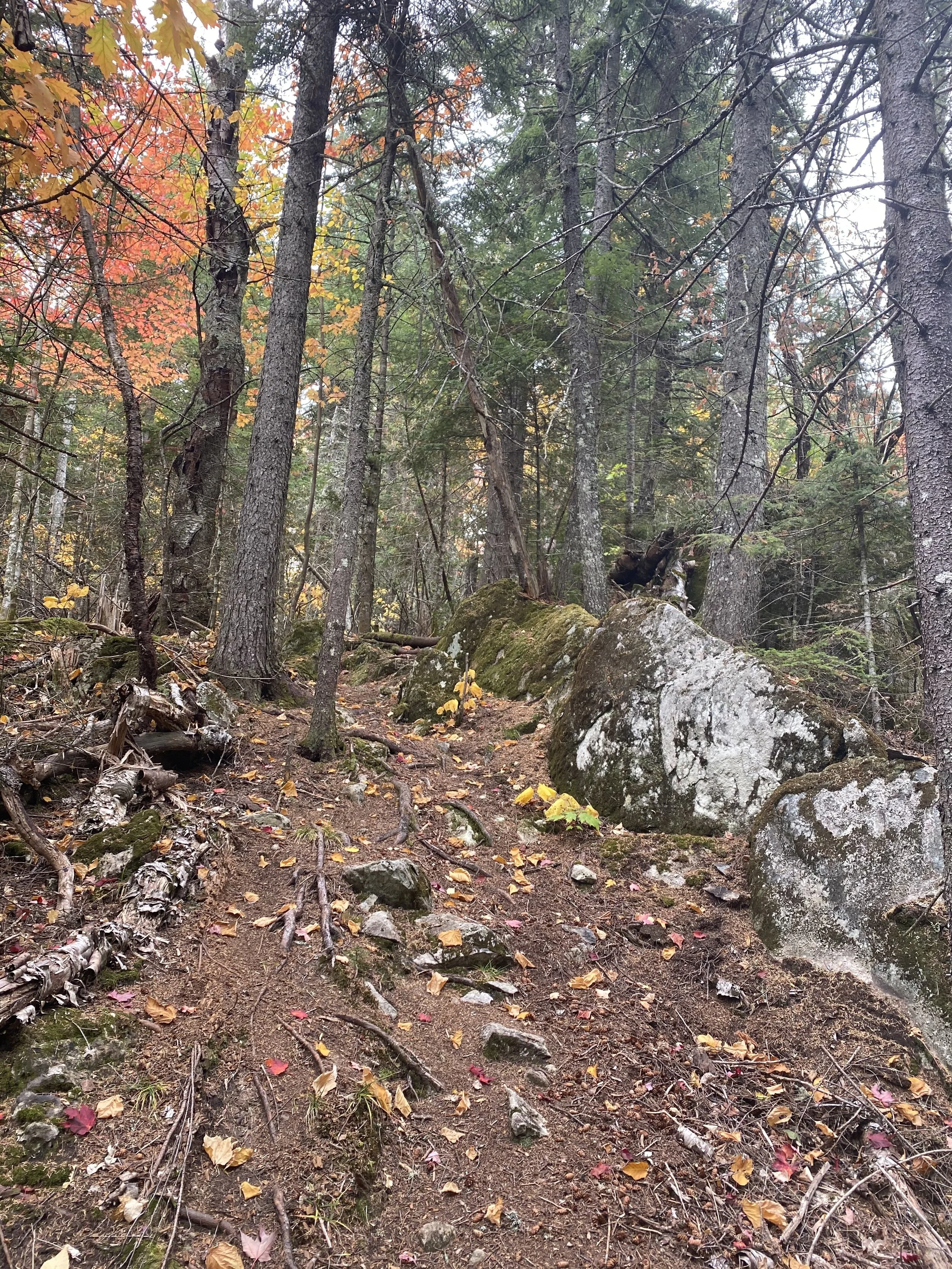
0.9 Climb gently through hardwoods (a good place to find spring wildflowers), then steadily through evergreens to a rocky overlook.

The climb near the overlook
1.0 Climb beyond the overlook to the open summit. You can explore the summit area beyond the clifftop to get various views in every direction. The valleys around the mountain are extremely colorful in the fall.
2.0 To complete the hike, retrace your steps back to the trailhead.
On your drive out, you can take the American Thread Road (there’s a sign at the intersection) and explore this isolated unit of KW&WNM. This road is pretty rough in places and overgrown. But it passes two short hikes to beautiful ponds where ducks, beaver, and moose can often be found.

Katahdin hiding in clouds from the summit

On the summit with a couple of ravens and a cloud

Looking east from the summit to Mount Chase